2010s Maps of Todd County, Kentucky
Explore 48 historic maps of Todd County from the 2010s. These maps offer a rare glimpse into what life looked like during the 2010s — showing old roads, neighborhoods, homes, and landmarks that have changed or disappeared over time.
Whether you're researching your family's past, planning a metal detecting trip, or studying how Todd County's landscape evolved across the 2010s, these high-resolution maps are a powerful tool for exploring the history of this region.
- Focus on a specific era: All maps on this page are from the 2010s, giving you a focused view of this time period.
- See what’s changed: Compare century-old streets, trails, and buildings to today's modern landscape using overlays and satellite layers.
- Research with precision: Use these maps for genealogy, historical research, land use analysis, or educational projects.
- View, download, or print: Maps are fully viewable online in high resolution, and can be downloaded or printed for your own records.
Start exploring Todd County's history through authentic maps from the 2010s. This is your window into the past.
Todd County, KY maps
(48)- 2010 Map of Elkton, 2010 Print
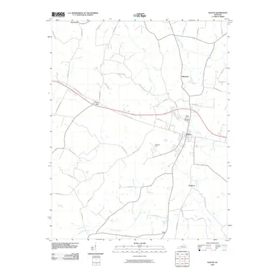 2010 Elkton2010 Print · USGSTodd County's agricultural landscape and rural crossroads are captured here during the first decade of the new millennium. Researchers can trace family-named roads and locate historic burial grounds like Elkton Cemetery and Glenwood Cemetery near the communities of Elkton and Wilhelmina.
 - 2010 Map of Pembroke, 2010 Print
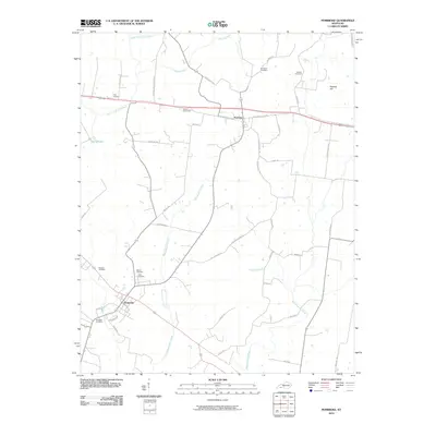 2010 Pembroke2010 Print · USGSPembroke and the surrounding Christian County farmland are captured in this 2010 survey of south-central Kentucky. Genealogists can trace family lineages through numerous local burial grounds including Rosedale, Goshen, and Shanklins.
 - 2010 Map of Sharon Grove, 2010 Print
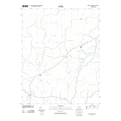 2010 Sharon Grove2010 Print · USGSNorthern Todd County is shown here in the early 2000s, where small farming communities and family landmarks define the rural landscape. Researchers can locate established sites like Sharon Grove, Claymour, and Gant Cemetery alongside the winding course of Wolf Lick Creek.
 - 2010 Map of Olmstead, 2010 Print
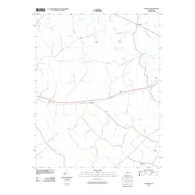 2010 Olmstead2010 Print · USGSLogan County’s rural landscape is captured here in the early twenty-first century, showcasing a community built around small crossroads and family farms. Genealogists can trace local roots through numerous family burial sites, including Russell Cemetery, Lee Cemetery, and Lyne Cemetery.
 - 2010 Map of Haleys Mill, 2010 Print
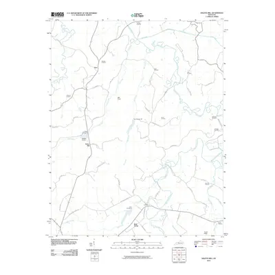 2010 Haleys Mill2010 Print · USGSChristian County, Kentucky, remains a land of family-named landmarks and river bends in the early twenty-first century. Genealogists can locate numerous family burial sites like Atkinson Cemetery and Spurling Cemetery near the banks of the Pond River.
 - 2010 Map of Allegre, 2010 Print
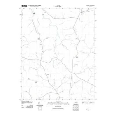 2010 Allegre2010 Print · USGSTodd County, Kentucky, remains a network of rural settlements and family cemeteries in this recent survey. Researchers can trace land ties and local history at Mount Tabor, Liberty, and family plots like the Slaughter Cemetery or Porter Cemetery.
 - 2010 Map of Honey Grove, 2010 Print
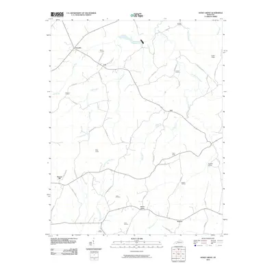 2010 Honey Grove2010 Print · USGSChristian County's rural crossroads and family burial grounds are preserved in this recent survey of the Kentucky countryside. Genealogists can locate legacy landmarks including Martin Cemetery, Britmart, and the prominent lookout at Pilot Rock.
 - 2010 Map of Kirkmansville, 2010 Print
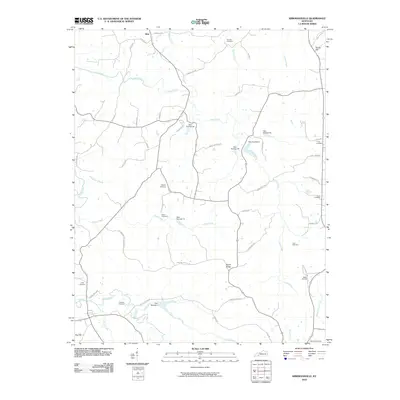 2010 Kirkmansville2010 Print · USGSWestern Kentucky's rural landscape comes into focus during this early twenty-first-century survey near the settlement of Weir. Genealogists can trace a wealth of family history through numerous burial sites like Shutt Cemetery and Lear Cemetery or family-named roads.
 - 2010 Map of Rosewood, 2010 Print
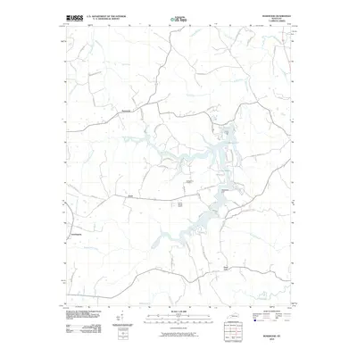 2010 Rosewood2010 Print · USGSTodd County's rural landscape at the start of the 2010s reveals a network of creeks and small settlements branching out from the shores of Lake Malone. Researchers can trace the layout of local roads and find landmarks such as Tyewhoppety, the McPherson Cemetery, and Whiterock Cliff.
 - 2010 Map of Allensville, 2010 Print
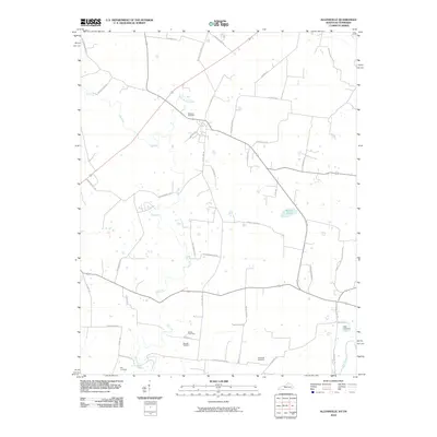 2010 Allensville2010 Print · USGSThe Kentucky-Tennessee borderlands appear here in the early twenty-first century, centered on the fertile drainage of the Elk Fork. Genealogists can locate numerous local burial sites such as Mitchell Cemetery and Wall Cemetery among the rural roads.
 - 2010 Map of Guthrie, 2010 Print
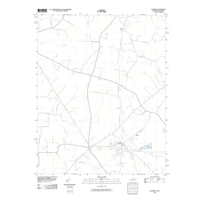 2010 Guthrie2010 Print · USGSGuthrie and the surrounding borderlands appear here in the early twenty-first century as a landscape of crossroads and country lanes. Researchers can locate family landmarks like Hermon Cemetery and trace the historical path of Old Railroad Ln.
 - 2010 Map of Trenton, 2010 Print
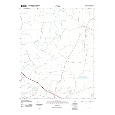 2010 Trenton2010 Print · USGSThe Tennessee-Kentucky borderlands in the early twenty-first century reveal a landscape of river-valley settlements and growing rural crossroads. Trace family history at Edgewood Cemetery and follow the historic path of the West Fork Red River past Peachers Mill.
 - 2013 Map of Elkton, 2013 Print
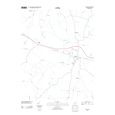 2013 Elkton2013 Print · USGSElkton and its surrounding Kentucky countryside are captured here in the early twenty-first century, showing a landscape defined by agriculture and local commerce. Genealogists and historians can trace family-named routes and landmarks near Wilhelmina, Bradshaw, and Glenwood Cem.
 - 2013 Map of Olmstead, 2013 Print
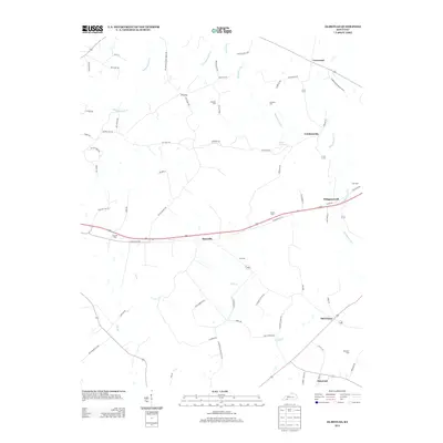 2013 Olmstead2013 Print · USGSSettled farmland and quiet crossroads define this corner of Logan County in the early twenty-first century. Genealogists can trace family lines through numerous rural burial sites like Bennett Cem and Lyne Cem or visit old communities such as Whippoorwill and Old Volney.
 - 2013 Map of Allensville, 2013 Print
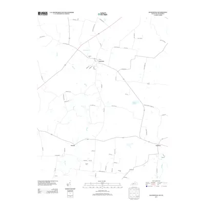 2013 Allensville2013 Print · USGSThis rural portion of the Kentucky-Tennessee border comes into focus in the early 2010s, centered on the historic crossroads of Allensville. Genealogists and local historians can trace family locations through numerous rural burial sites like Belmont Cem and Cross Cem.
 - 2013 Map of Honey Grove, 2013 Print
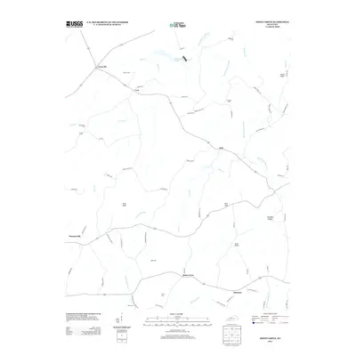 2013 Honey Grove2013 Print · USGSThe rural landscape of Christian County is captured here in the early twenty-first century. Genealogists and historians can trace family burial sites like Steel Cem and old crossroads communities such as Britmart and Ovil.
 - 2013 Map of Allegre, 2013 Print
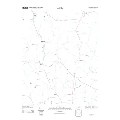 2013 Allegre2013 Print · USGSTodd County's rural landscape is captured here in the early twenty-first century, showcasing a network of small settlements and family burial grounds. Genealogists can trace local heritage through Slaughter Cem, Simons Cem, and the communities of Allegre and Liberty.
 - 2013 Map of Pembroke, 2013 Print
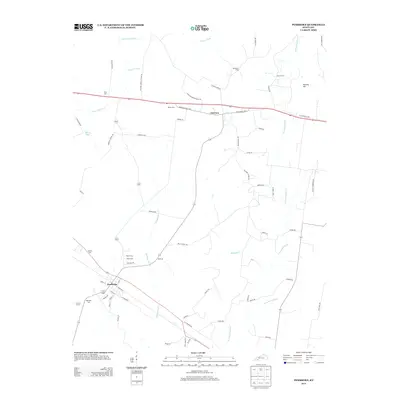 2013 Pembroke2013 Print · USGSThe Christian County countryside around Pembroke and Fairview is captured here in the early twenty-first century. Researchers can trace numerous local burial sites like Shanklins Cem and Rosedale Cem or follow the waters of the W Fork Red River.
 - 2013 Map of Guthrie, 2013 Print
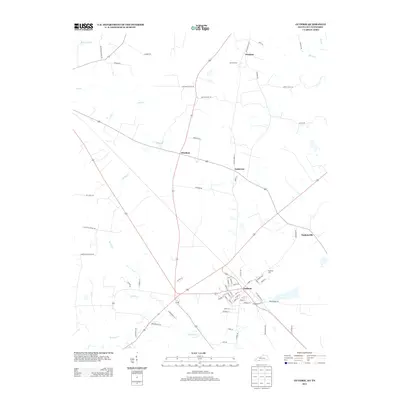 2013 Guthrie2013 Print · USGSThe Kentucky-Tennessee borderlands appear here in the early twenty-first century, centered on the historic crossroads of Guthrie. Genealogists and local historians can trace family land ties near Hermon Cem or locate old community sites like Pinchem and Anderson.
 - 2013 Map of Trenton, 2013 Print
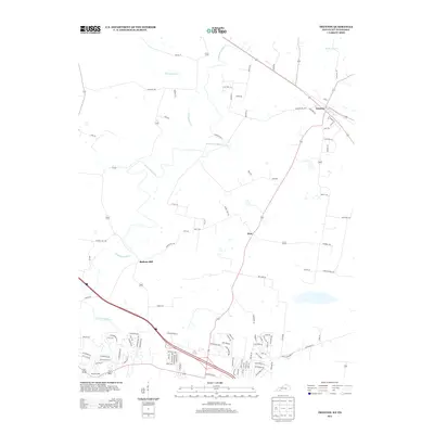 2013 Trenton2013 Print · USGSThe Tennessee-Kentucky borderlands come into focus in 2013, showing a landscape shaped by river-driven industry and rural crossroads. Researchers can trace the legacy of local water power at Barkers Mill and Peachers Mill or explore the street layout of Trenton.
 - 2013 Map of Sharon Grove, 2013 Print
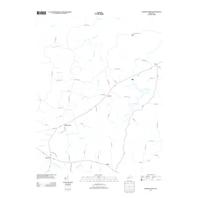 2013 Sharon Grove2013 Print · USGSSharon Grove and the surrounding rural communities of Todd County are captured here during the early twenty-first century. Researchers can trace family-named routes like Lawson Hester Rd and locate settlements such as Everett, Claymour, and the shores of Spa Lake.
 - 2013 Map of Kirkmansville, 2013 Print
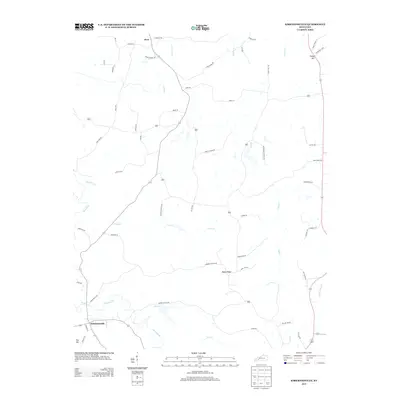 2013 Kirkmansville2013 Print · USGSMuhlenberg County's southern rural landscape is documented here in the early twenty-first century, centered on the settlement of Kirkmansville. Genealogists and local historians can trace family-named routes and landmarks such as Elkins Cemetery Ln, Rapid Ridge, and Weir.
 - 2013 Map of Haleys Mill, 2013 Print
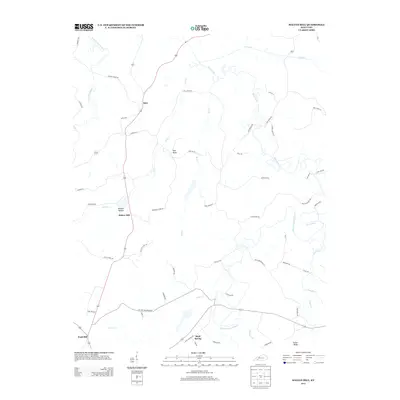 2013 Haleys Mill2013 Print · USGSChristian County's rural northern reaches are documented here in the early twenty-first century, showing the persistence of traditional settlements and creek-side communities. Genealogists and local historians can trace family land ties near Haleys Mill, Fruit Hill, and the ridges surrounding Ball Knob.
 - 2013 Map of Rosewood, 2013 Print
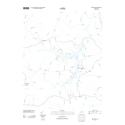 2013 Rosewood2013 Print · USGSTodd County's rural landscape is captured here in the early twenty-first century, showing a network of small hamlets and family farm lanes. Researchers can trace the roots of local settlements like Tyewhoppety, Mays Store, and Rosewood or locate the Diamond Springs cemetery.
 - 2016 Map of Guthrie, 2016 Print
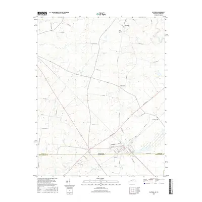 2016 Guthrie2016 Print · USGSGuthrie sits directly on the Kentucky-Tennessee border in this mid-2010s survey of the Todd County countryside. Researchers can trace the heritage of local settlements like Hadensville and Hermon, and locate historic burials at Highland Cem and Hermon Cem.
Showing maps 1-25 of 48
Top cities of Todd County
Frequently asked questions
- What are the different types of historical maps available for Todd County?
- What is the oldest map of Todd County?
- Where can I purchase historical maps of Todd County for my home or office?
- Where can I download high-res historical maps of Todd County?
- Are there historical topographic maps available for Todd County?
- Is there historical aerial imagery available for Todd County?
- Where are historical maps of Todd County sourced from?