Old Maps of Plum Springs, Kentucky for Metal Detecting
Plan your next treasure hunt with 15 historic maps of Plum Springs. Find old homesites, ghost towns, trails, and gathering spots that may be lost to time — perfect for identifying promising metal detecting locations.
- Locate forgotten sites: Uncover places like long-lost settlements, abandoned rail lines, or gathering spots.
- Plan better hunts: Use map overlays combined with LiDAR or satellite views to narrow in on historically rich areas.
- Made for detectorists: Thousands of hobbyists use these maps to discover relics, coins, and hidden history.
Use these historic maps to boost your research and find new opportunities beneath the surface of Plum Springs.
Plum Springs, KY maps
(15)- 1922 Map of Brownsville
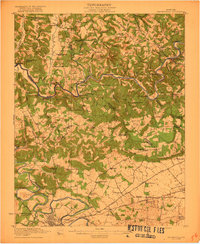 1922 Brownsville1922 Print · USGSEdmonson and Warren Counties are mapped here in the early 1920s, showing a river-centered economy still reliant on ferries and landings. Genealogists can trace family footprints across dozens of country school sites like Poplar Spring School and historic crossings like Sadler Ford.
 - 1923 Map of Brownsville
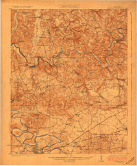 1923 Brownsville1923 Print · USGSThe river-driven economies of Edmonson and Warren counties are preserved here in the early twentieth century. Researchers can trace ancestral locations through dozens of named sites like Bethlehem Church, Dalton Ferry, and rural schoolhouses including Poplar Spring School.3 unique versions available
 - 1954 Map of Evansville
 1954 Evansville1954 Print · USGSThe Ohio River borderlands between Indiana and Kentucky appear here during a period of robust industrial and military growth. Genealogists and researchers can trace the rail corridors of the Illinois Central and find landmarks like US Lock and Dam No 48 or Camp Breckinridge.
 - 1954 Map of Bowling Green North, 1955 Print
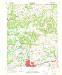
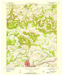 1954 Bowling Green North1955 Print · USGSBowling Green and northern Warren County are shown in the mid-fifties as the Barren River shaped both industry and recreation. Local researchers can trace family landmarks like Mt Zion Ch, explore the early layout of Beech Bend Park, and locate the old Anna P O.
 - 1957 Map of Evansville, 1969 Print
 1957 Evansville1969 Print · USGSIndiana and Kentucky meet along the Ohio River in this mid-century survey of a vital industrial and transport corridor. Genealogists and historians can trace the development of river towns like Owensboro and Newburgh or locate old rail lines like the Southern Ry.3 unique versions available
 - 1959 Map of Bowling Green North, 1960 Print
 1959 Bowling Green North1960 Print · USGSWarren County in the late fifties shows the northward growth of Bowling Green along the river and rail lines. Genealogists and researchers can trace family landmarks and rural centers like Anna P O, Flora Cem, and the Green River Union Ch.
 - 1961 Map of Evansville
 1961 Evansville1961 Print · USGSThe Ohio River valley and its surrounding coalfields are captured here during the late fifties and early sixties. Trace the industrial rail networks of the Illinois Central RR and explore regional landmarks like Mammoth Cave National Park and Angel Mounds State Memorial.2 unique versions available
 - 1968 Map of Bowling Green North, 1969 Print
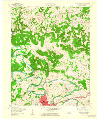
 1968 Bowling Green North1969 Print · USGSThe Barren River meanders north of Bowling Green in the late sixties, where rail lines and river bends shaped local industry. Genealogists can trace family roots at Flora Cem and Sand Hill Ch Cem or locate the historic Delafield Sch.
 - 1981 Map of Beaver Dam, 1984 Print
 1981 Beaver Dam1984 Print · USGSThe Western Kentucky coal and river country comes into focus in the early 1980s as industry and recreation reshape the land. Researchers can trace family roots and old routes through Morgantown, Beaver Dam, and the early footprints of Mammoth Cave National Park.
 - 1993 Map of Bowling Green North, 1996 Print
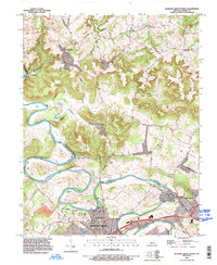 1993 Bowling Green North1996 Print · USGSWarren County in the early nineties shows the suburban growth of Bowling Green meeting the rural traditions of the Barren River hills. Researchers can trace family sites at Taylor Cem or locate historic community hubs like Richardsville Sch and Anna Ch.
 - 2010 Map of Bowling Green North, 2010 Print
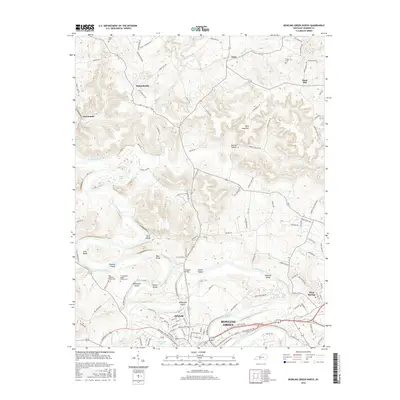
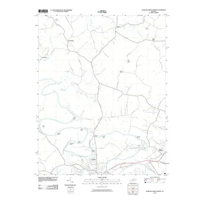 2010 Bowling Green North2010 Print · USGSCovers Plum Springs, including Bowling Green, Sand Hill, and other nearby areas
 - 2013 Map of Bowling Green North, 2013 Print
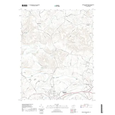
 2013 Bowling Green North2013 Print · USGSCovers Plum Springs, including Bowling Green, Sand Hill, and other nearby areas
 - 2016 Map of Bowling Green North, 2016 Print
 2016 Bowling Green North2016 Print · USGSCovers Plum Springs, including Bowling Green, Sand Hill, and other nearby areas
 - 2019 Map of Bowling Green North, 2019 Print
 2019 Bowling Green North2019 Print · USGSCovers Plum Springs, including Bowling Green, Sand Hill, and other nearby areas
 - 2022 Map of Bowling Green North, 2022 Print
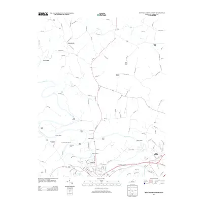
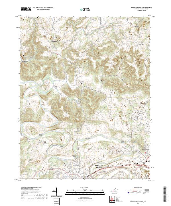 2022 Bowling Green North2022 Print · USGSNorth of the city in the early twenty-first century, the river landscape is defined by the winding Barren River and its many islands. Genealogists can locate several family burial grounds, including the Sterrett Family Cem and Isaac Stephens Family Cem.
End of results
Showing maps 1-15 of 15
Top cities near Plum Springs
- Bowling Green historical maps
- Franklin historical maps
- Scottsville historical maps
- Brownsville historical maps
- Smiths Grove historical maps
- Woodburn historical maps
See more
Frequently asked questions
- What are the different types of historical maps available for Plum Springs?
- What is the oldest map of Plum Springs?
- Where can I purchase historical maps of Plum Springs for my home or office?
- Where can I download high-res historical maps of Plum Springs?
- Are there historical topographic maps available for Plum Springs?
- Is there historical aerial imagery available for Plum Springs?
- Where are historical maps of Plum Springs sourced from?