Old Maps of Hardwick, Kentucky for Hiking & Exploration
Hike through history with 11 historic maps of Hardwick. Explore old trails, ghost towns, and forgotten backroads — perfect for outdoor adventurers and local explorers.
- Rediscover forgotten places: Map out old mining camps, roads, and footpaths that no longer exist on modern maps.
- Layer with modern tools: Combine with LiDAR or satellite views to plan hikes through historical terrain.
- Made for exploration: Popular among hikers, overlanders, and local history lovers.
Use these maps to find adventure and explore the hidden past of Hardwick.
Hardwick, KY maps
(11)- 1932 Map of Burnside
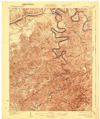 1932 Burnside1932 Print · USGSThe Cumberland River and its South Fork are captured here in the early 1930s, showing the intricate river-and-rail topography of southern Kentucky. Researchers can locate dozens of country landmarks like Roberts Mill, Lovells Chapel, and Pole Bridge Sch.2 unique versions available
 - 1953 Map of Frazer, 1955 Print
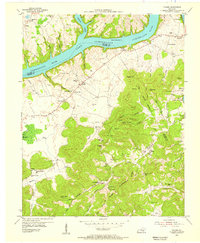 1953 Frazer1955 Print · USGSWayne and Pulaski Counties appear here in the early fifties as the landscape was being reshaped by the waters of the newly created Lake Cumberland. Researchers can trace rural lineages through numerous country schools and churches like New Salem Ch, Turpin Sch, and Meadow Creek Sch.2 unique versions available
 - 1956 Map of Corbin, 1966 Print
 1956 Corbin1966 Print · USGSThe Kentucky and Tennessee borderlands are captured here in the mid-fifties, showing the region's shift toward modern interstate travel and reservoir development. Genealogists and historians can trace old community lines near Albany and Monticello or locate early rail junctions along the Southern and Tennessee Central lines.3 unique versions available
 - 1958 Map of Corbin
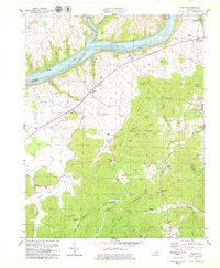
 1958 Corbin1958 Print · USGSThe Upper Cumberland borderlands appear in the late 1950s as massive reservoirs and early atomic-era growth reshape the region. Trace family roots and vanished landmarks near Lake Cumberland, Oak Ridge, and the Cumberland National Forest.
 - 1978 Map of Frazer, 1979 Print
 1978 Frazer1979 Print · USGSThe border of Wayne and Pulaski Counties appears here in the late seventies as the river valley adjusts to the waters of Lake Cumberland. Genealogists can trace family names at Stigall Cem and Taylor Cem or locate the rural New Salem Ch.2 unique versions available
 - 1981 Map of Corbin, 1984 Print
 1981 Corbin1984 Print · USGSThe Kentucky and Tennessee borderlands in the early eighties were characterized by coal towns and deep mountain ridges. Trace family history or rail routes through Stearns, Williamsburg, and the mining settlements near Jellico Mountain along the L & N RR.
 - 2010 Map of Frazer, 2010 Print
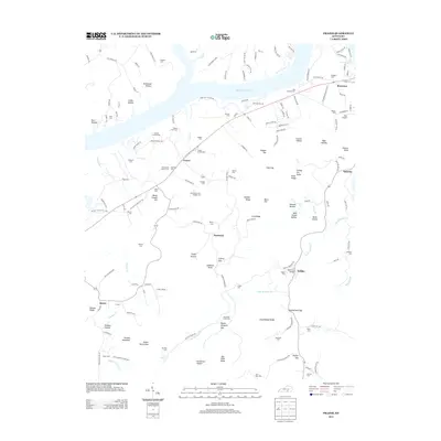
 2010 Frazer2010 Print · USGSCovers Hardwick, including Frazer, Betsey, and other nearby areas
 - 2013 Map of Frazer, 2013 Print
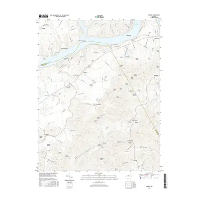
 2013 Frazer2013 Print · USGSCovers Hardwick, including Frazer, Betsey, and other nearby areas
 - 2016 Map of Frazer, 2016 Print
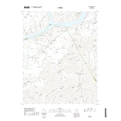
 2016 Frazer2016 Print · USGSCovers Hardwick, including Frazer, Betsey, and other nearby areas
 - 2019 Map of Frazer, 2019 Print
 2019 Frazer2019 Print · USGSCovers Hardwick, including Frazer, Betsey, and other nearby areas
 - 2022 Map of Frazer, 2022 Print
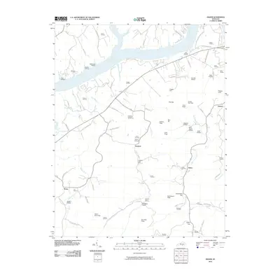
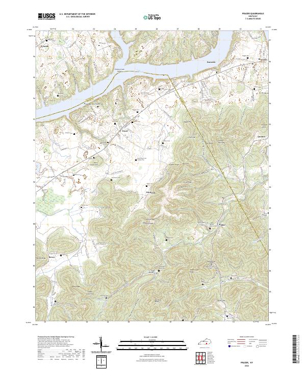 2022 Frazer2022 Print · USGSSouth-central Kentucky hill country meets the waters of Lake Cumberland in this recent survey of the Wayne and Pulaski county line. Genealogists can trace family heritage through dozens of documented sites like the Barker Family Cem, Indian Grave Gap, and Hardwick.
End of results
Showing maps 1-11 of 11
Top cities near Hardwick
Frequently asked questions
- What are the different types of historical maps available for Hardwick?
- What is the oldest map of Hardwick?
- Where can I purchase historical maps of Hardwick for my home or office?
- Where can I download high-res historical maps of Hardwick?
- Are there historical topographic maps available for Hardwick?
- Is there historical aerial imagery available for Hardwick?
- Where are historical maps of Hardwick sourced from?