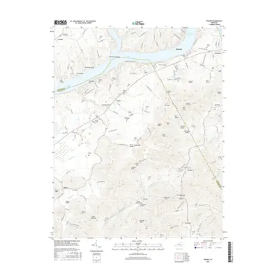
2016 Map of Frazer
USGS Topo · Published 2016About this map
Lake Cumberland dominates the northern reaches of this Wayne and Pulaski County borderlands, where the waters of the Fishing Creek Shoals meet the main body of the lake near Burnside. The landscape is a dense network of ridges and hollows, including Sally Turpin Hollow and Stillhouse Hollow, revealing a region defined by its complex topography and rural settlement patterns. Genealogy is central to this map, which documents an extraordinary number of small family and community burial grounds such as Barker Family Cem, Weaver Farm Cem, and Hutchinson Cem Number Two.
Find a feature on this map
86 named features on this map. Tap any name to fly to it.
Don’t see what you’re looking for? This feature index may not catch every label — zoom into the map to look around manually.
Map Details
Editions of this 2016 Frazer Map
This is the sole edition of this map. No revisions or reprints were ever made.
Other maps of this area

1911 · Monticello
USGS Topo · 1:62,500

1914 · Monticello
USGS Topo · 1:62,500

1932 · Burnside
USGS Topo · 1:62,500

1935 · Somerset
USGS Topo · 1:62,500

1953 · Frazer
USGS Topo · 1:24,000

1953 · Monticello
USGS Topo · 1:24,000

1953 · Mill Springs
USGS Topo · 1:24,000

1954 · Coopersville
USGS Topo · 1:24,000

1954 · Burnside
USGS Topo · 1:24,000

1954 · Delmer
USGS Topo · 1:24,000