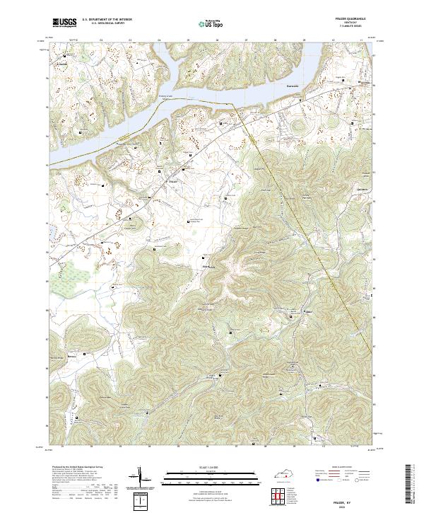
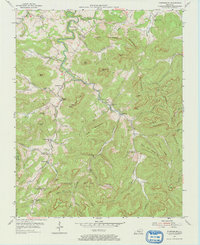
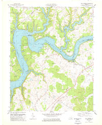
2022 Map of Frazer
USGS Topo · Published 2022This historical map portrays the area of Frazer in 2022, primarily covering Wayne County as well as portions of Pulaski County. Featuring a scale of 1:24000, this map provides a highly detailed snapshot of the terrain, roads, buildings, counties, and historical landmarks in the Frazer region at the time. Published in 2022, it is the sole known edition of this map.
Map Details
Editions of this 2022 Frazer Map
This is the sole edition of this map. No revisions or reprints were ever made.
Historical Maps of Hardwick Through Time
19 maps found

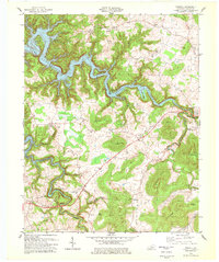
1934 Pall Mall
Wayne County, KY
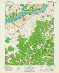
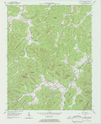
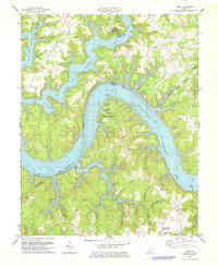
1953 Frazer
Wayne County, KY
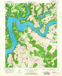
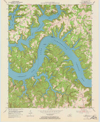
1953 Mill Springs
Wayne County, KY
1953 Parnell
Wayne County, KY
1954 Coopersville
Wayne County, KY
1954 Jabez
Wayne County, KY
1954 Parmleysville
Wayne County, KY
1954 Powersburg
Wayne County, KY
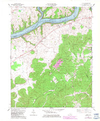
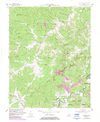
1978 Frazer
Wayne County, KY
1978 Jabez
Wayne County, KY
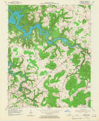
1978 Mill Springs
Wayne County, KY
1978 Parnell
Wayne County, KY
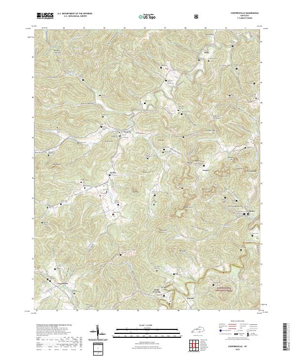
2022 Coopersville
Wayne County, KY
2022 Frazer
Wayne County, KY
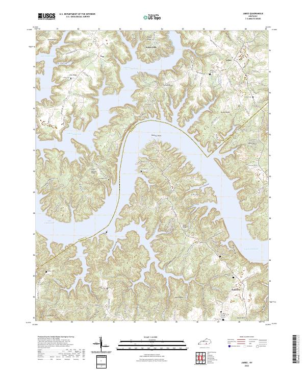
2022 Jabez
Wayne County, KY
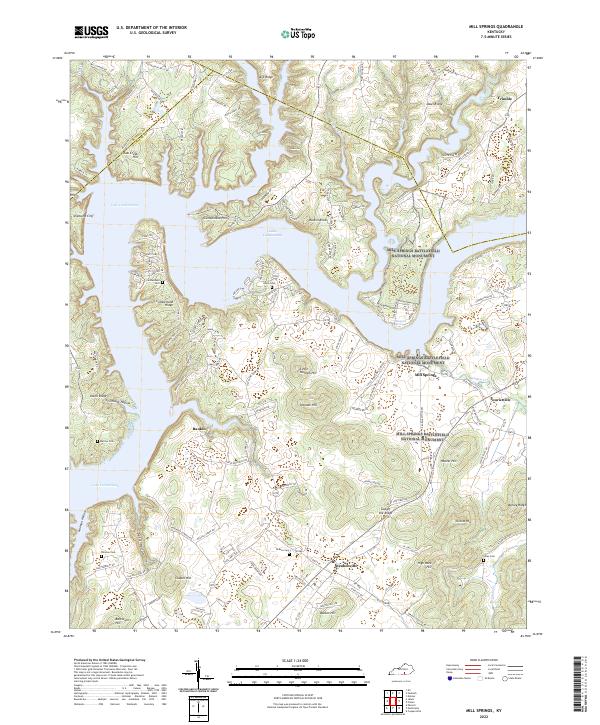
2022 Mill Springs
Wayne County, KY
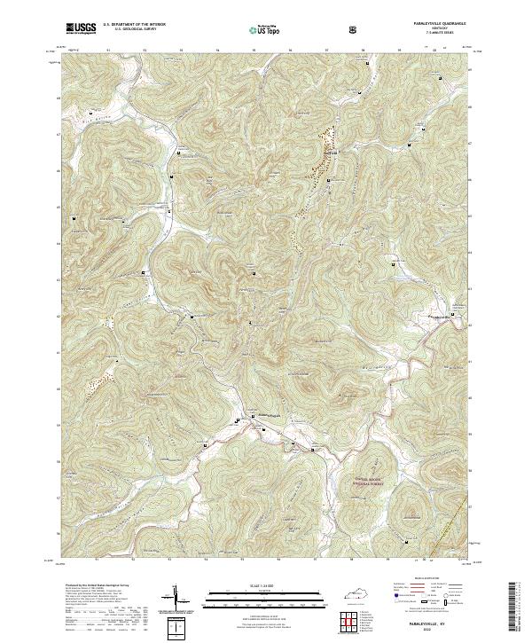
2022 Parmleysville
Wayne County, KY
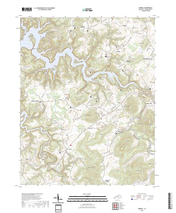
2022 Parnell
Wayne County, KY
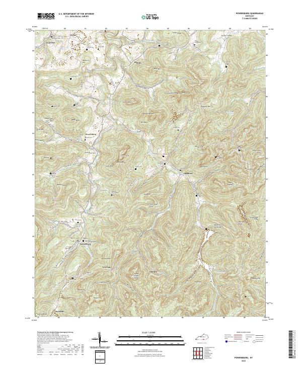
2022 Powersburg
Wayne County, KY