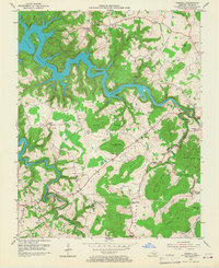
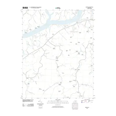
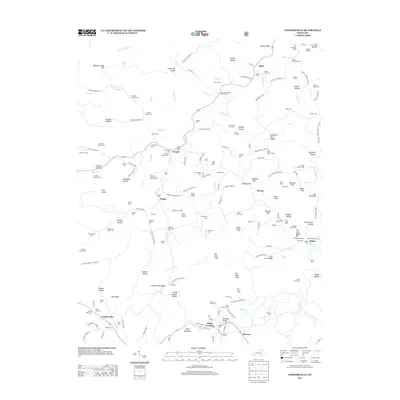
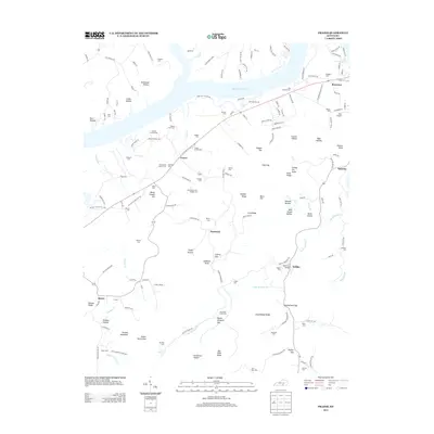
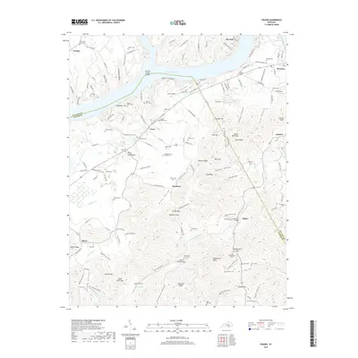
1978 Map of Frazer
USGS Topo · Published 1983About this map
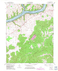
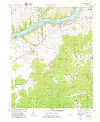
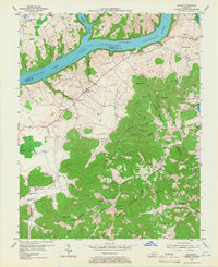
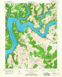
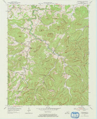
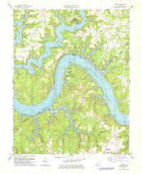
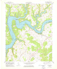
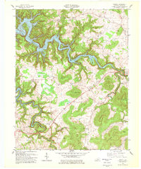
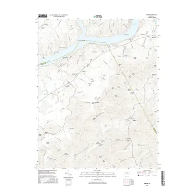
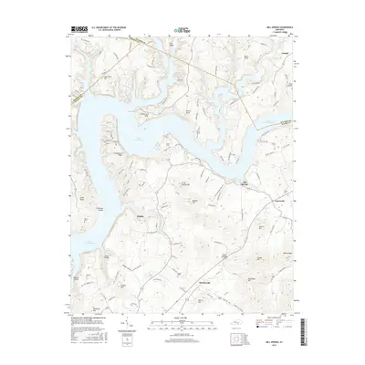
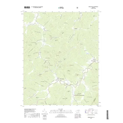
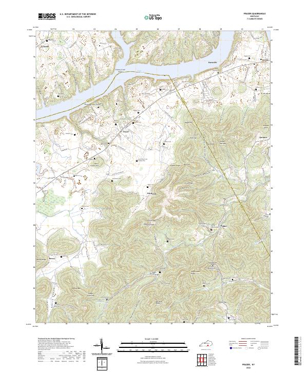
Lake Cumberland dominates the northern landscape of this region, formed by the winding Cumberland River and its major tributary, Fishing Creek. The map documents a rural river valley transition, where the rising waters have reshaped the topography around settlements like Frazer and Bronston. The terrain is characterized by a series of prominent ridges and gaps, including Long Ridge and Doublehead Gap, which dictate the local road patterns of KY 90 and KY 1619.
Find a feature on this map
54 named features on this map. Tap any name to fly to it.
Don’t see what you’re looking for? This feature index may not catch every label — zoom into the map to look around manually.
Map Details
Editions of this 1978 Frazer Map
2 editions found
Historical Maps of Frazer Through Time
47 maps found

1934 Pall Mall
Wayne County, KY
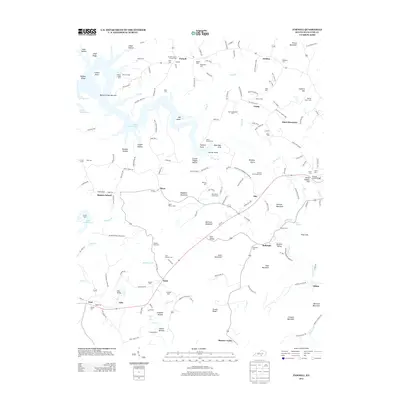
1953 Frazer
Wayne County, KY
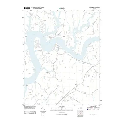
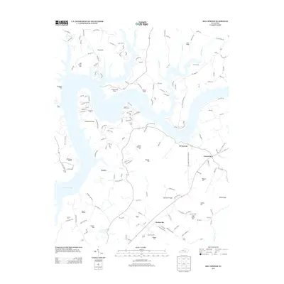
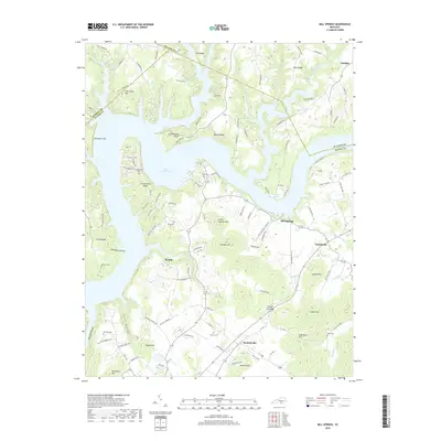
1953 Mill Springs
Wayne County, KY
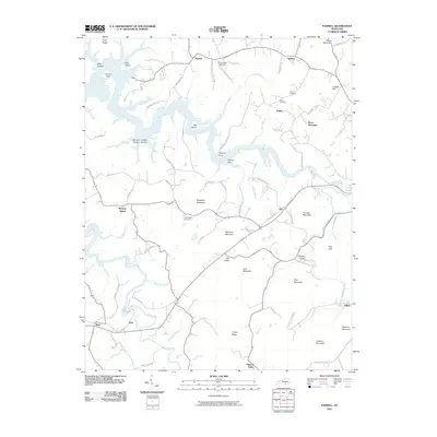
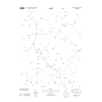
1953 Parnell
Wayne County, KY
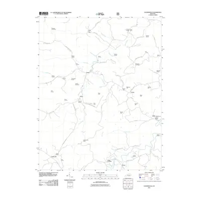
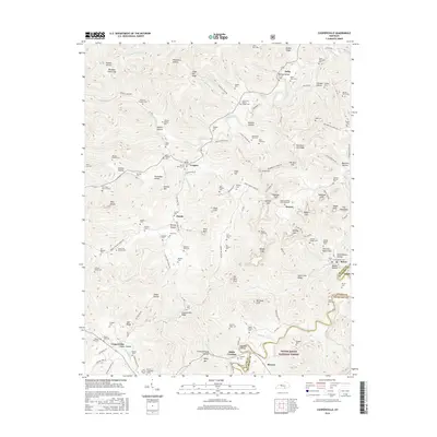
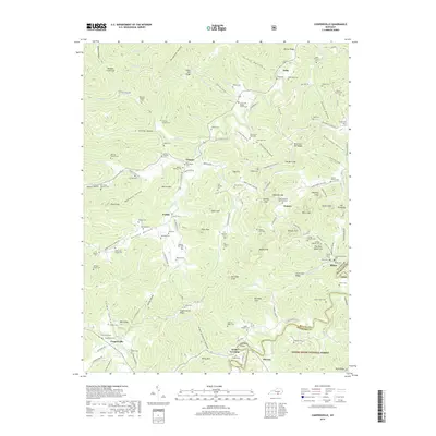
1954 Coopersville
Wayne County, KY
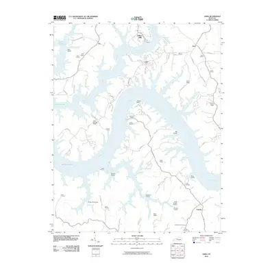
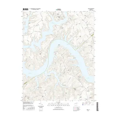
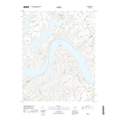
1954 Jabez
Wayne County, KY
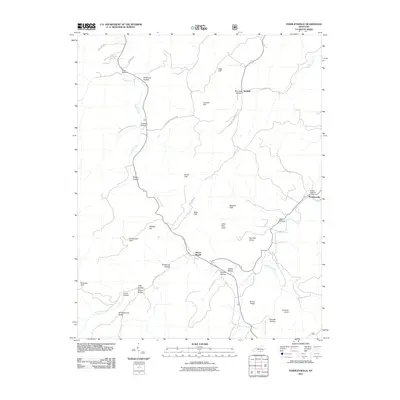
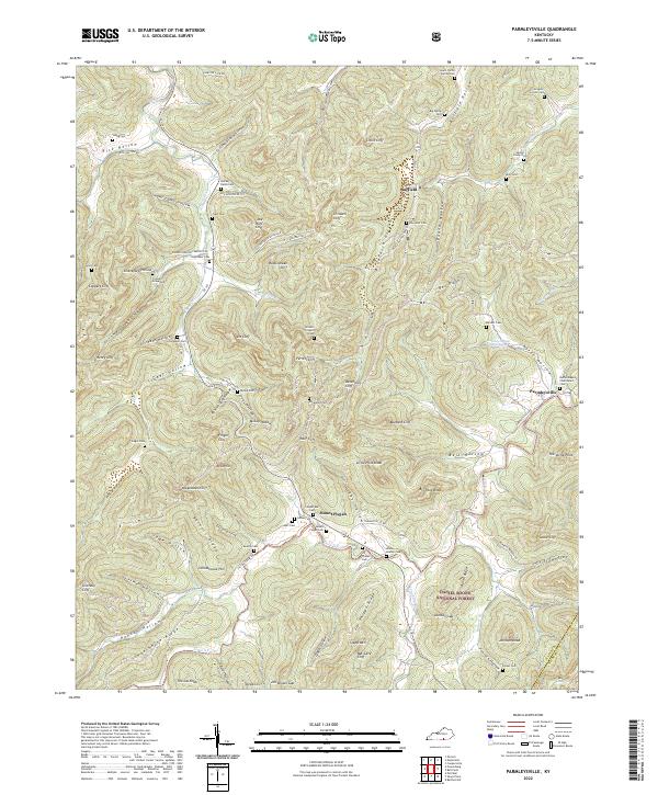
1954 Parmleysville
Wayne County, KY
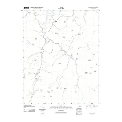
1954 Powersburg
Wayne County, KY
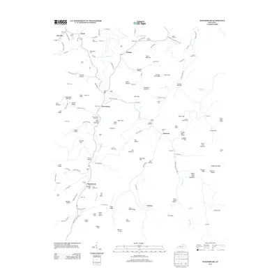
1978 Frazer
Wayne County, KY
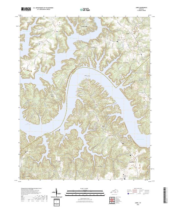
1978 Jabez
Wayne County, KY
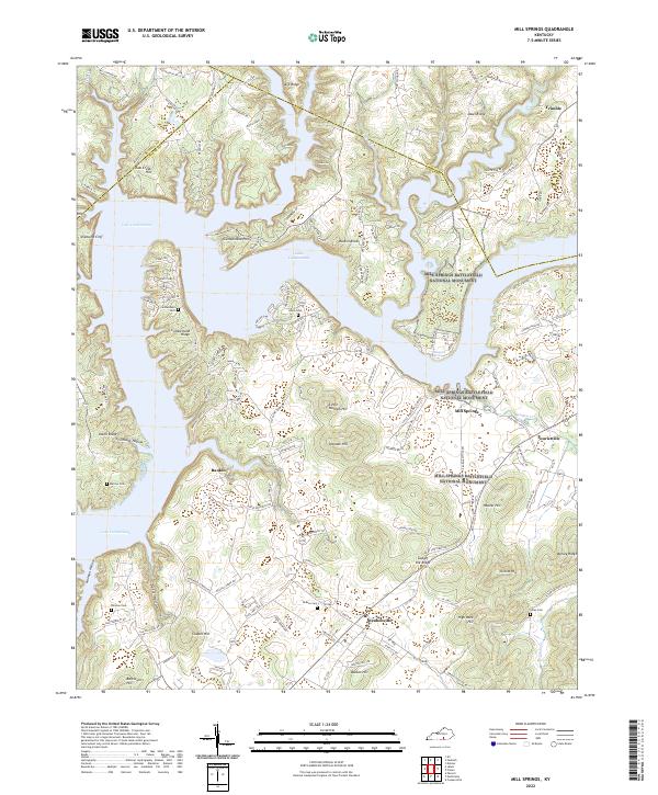
1978 Mill Springs
Wayne County, KY
1978 Parnell
Wayne County, KY
2010 Frazer
Wayne County, KY
2010 Jabez
Wayne County, KY
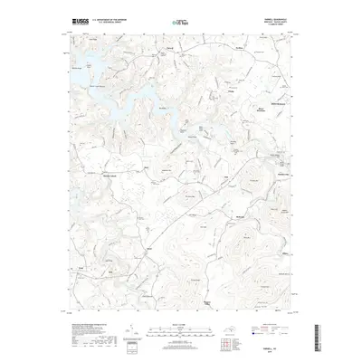
2010 Mill Springs
Wayne County, KY
2010 Parnell
Wayne County, KY
2010 Powersburg
Wayne County, KY
2011 Coopersville
Wayne County, KY
2011 Parmleysville
Wayne County, KY
2013 Coopersville
Wayne County, KY
2013 Frazer
Wayne County, KY

2013 Jabez
Wayne County, KY
2013 Mill Springs
Wayne County, KY
2013 Parmleysville
Wayne County, KY
2013 Parnell
Wayne County, KY
2013 Powersburg
Wayne County, KY
2016 Coopersville
Wayne County, KY
2016 Frazer
Wayne County, KY
2016 Jabez
Wayne County, KY
2016 Mill Springs
Wayne County, KY
2016 Parmleysville
Wayne County, KY
2016 Parnell
Wayne County, KY
2016 Powersburg
Wayne County, KY
2019 Coopersville
Wayne County, KY
2019 Frazer
Wayne County, KY
2019 Jabez
Wayne County, KY
2019 Mill Springs
Wayne County, KY
2019 Parmleysville
Wayne County, KY
2019 Parnell
Wayne County, KY
2019 Powersburg
Wayne County, KY
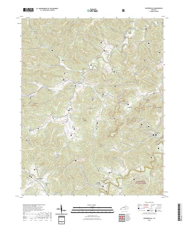
2022 Coopersville
Wayne County, KY
2022 Frazer
Wayne County, KY
2022 Jabez
Wayne County, KY
2022 Mill Springs
Wayne County, KY
2022 Parmleysville
Wayne County, KY
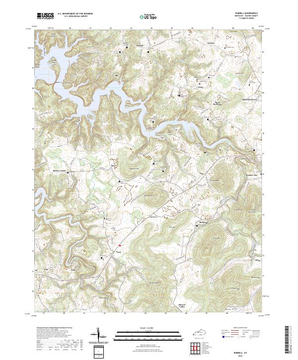
2022 Parnell
Wayne County, KY
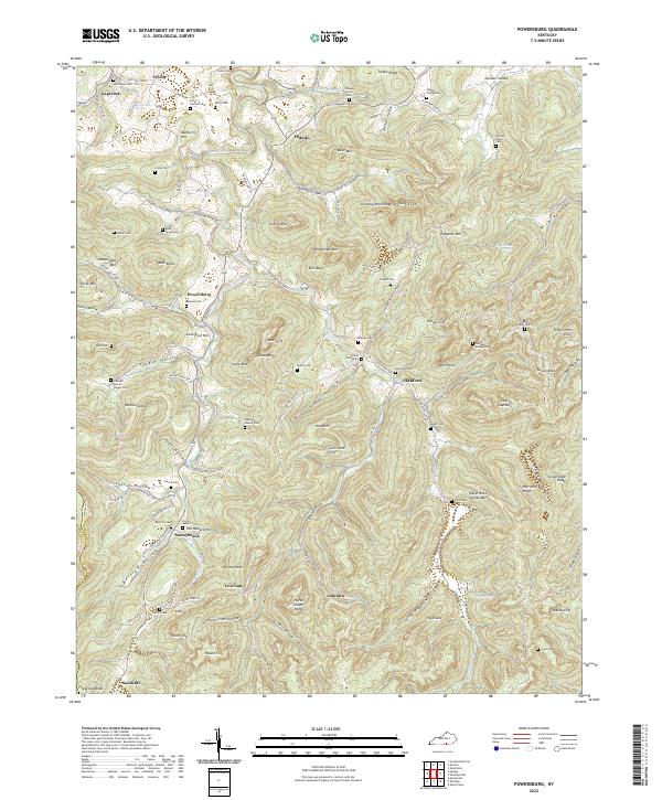
2022 Powersburg
Wayne County, KY