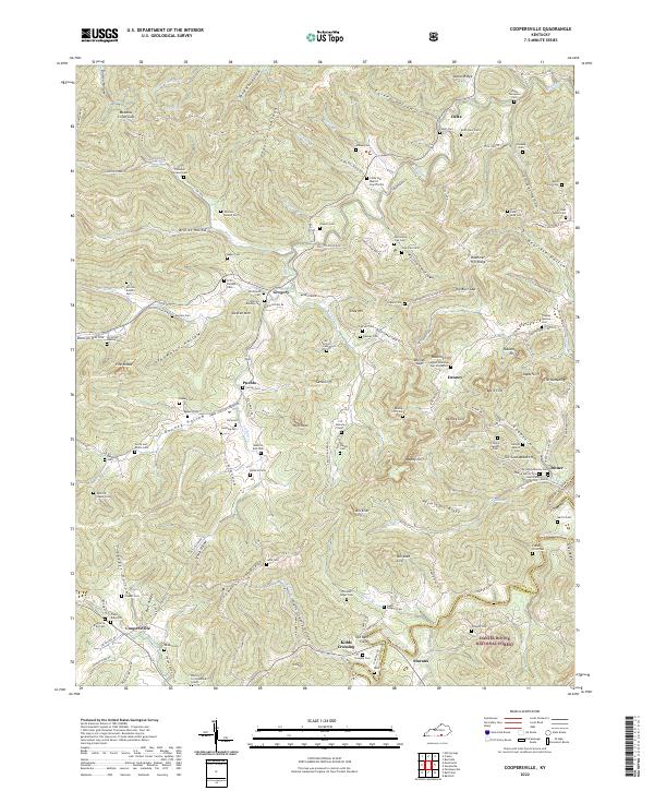
2022 Map of Coopersville
USGS Topo · Published 2022About this map
The Daniel Boone National Forest defines the southern and eastern reaches of this Wayne County landscape, where the topography transitions into the dramatic cliffs of the Cumberland Plateau. A dense network of family cemeteries, such as the Shade Thompson Cem and Upper Denneys Gap Graveyard, illustrates the deep-rooted settlement patterns of the region. The map reveals a land shaped by water and stone, featuring prominent landmarks like Pilot Rock, Keeton Mtn, and the distinctive The Dumpling.
Find a feature on this map
149 named features on this map. Tap any name to fly to it.
Don’t see what you’re looking for? This feature index may not catch every label — zoom into the map to look around manually.
Map Details
Editions of this 2022 Coopersville Map
This is the sole edition of this map. No revisions or reprints were ever made.
Other maps of this area

1911 · Monticello
USGS Topo · 1:62,500

1914 · Monticello
USGS Topo · 1:62,500

1932 · Burnside
USGS Topo · 1:62,500

1934 · Barthell
USGS Topo · 1:62,500

1934 · Pall Mall
USGS Topo · 1:62,500

1953 · Frazer
USGS Topo · 1:24,000

1953 · Monticello
USGS Topo · 1:24,000

1953 · Mill Springs
USGS Topo · 1:24,000

1954 · Parmleysville
USGS Topo · 1:24,000

1954 · Coopersville
USGS Topo · 1:24,000