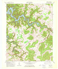
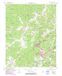
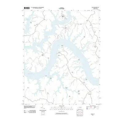
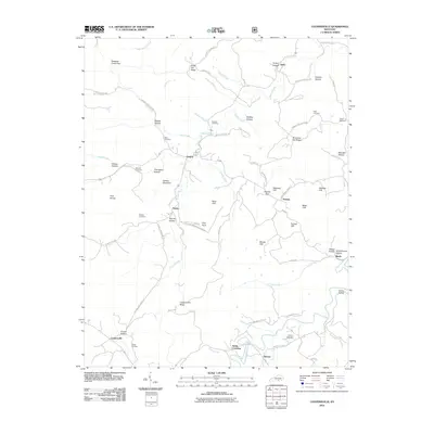
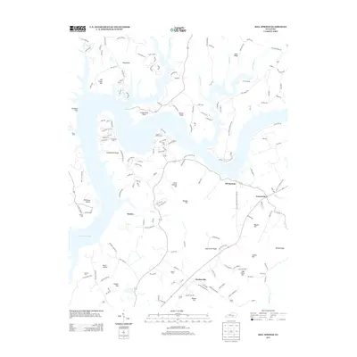
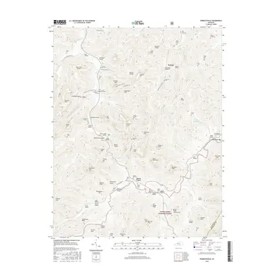
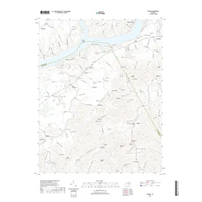
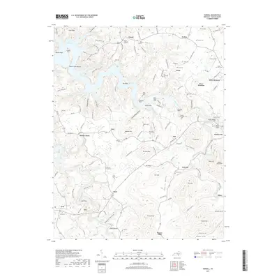
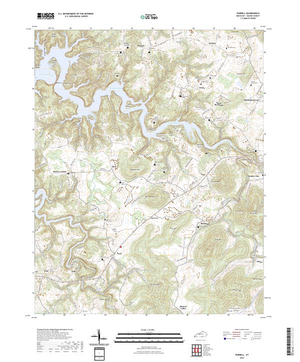
1978 Map of Parnell
USGS Topo · Published 1979About this map
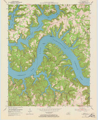
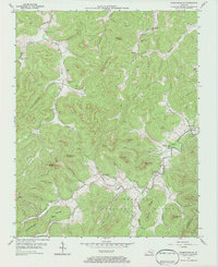
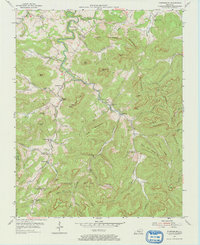
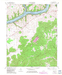
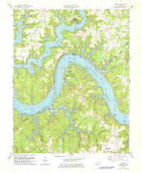
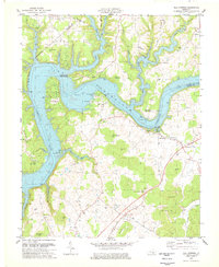
Lake Cumberland dominates the northern reaches of this Wayne County landscape, where the inundated valleys of Beaver Creek and Otter Creek create a complex shoreline around Big Island and Ramsey Island. The terrain is characterized by a series of prominent ridges and valleys, including Magallen Mtn and McClown Mtn, which separate small agricultural and timber-producing communities. Early industrial activity is evidenced by Oil Wells scattered across the central uplands near Parnell.
Find a feature on this map
55 named features on this map. Tap any name to fly to it.
Don’t see what you’re looking for? This feature index may not catch every label — zoom into the map to look around manually.
Map Details
Editions of this 1978 Parnell Map
This is the sole edition of this map. No revisions or reprints were ever made.
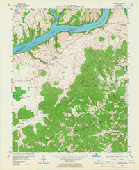
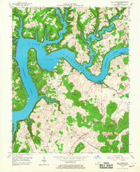
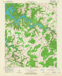
Historical Maps of Monticello Through Time
47 maps found

1934 Pall Mall
Wayne County, KY
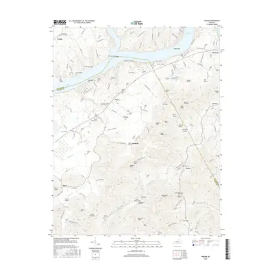
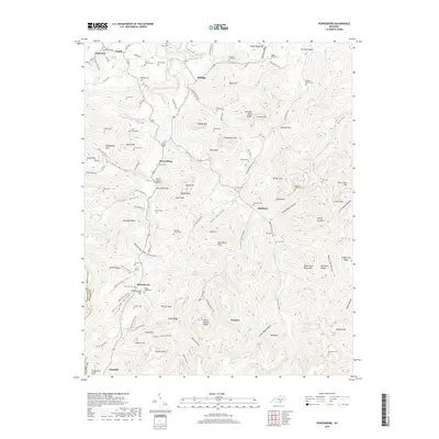
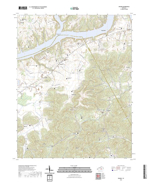
1953 Frazer
Wayne County, KY
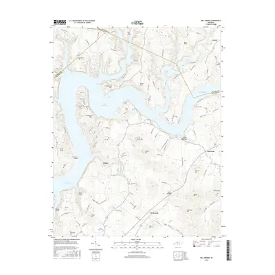
1953 Mill Springs
Wayne County, KY
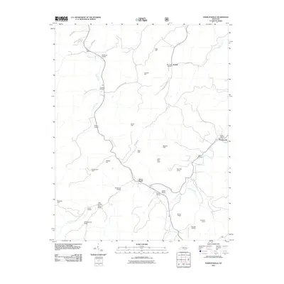
1953 Parnell
Wayne County, KY
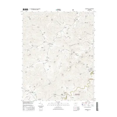
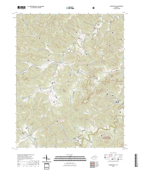
1954 Coopersville
Wayne County, KY
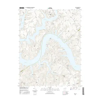
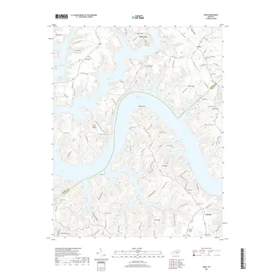
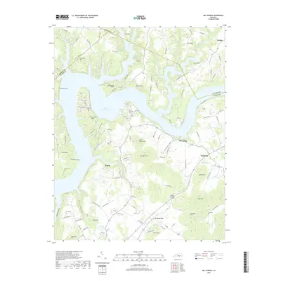
1954 Jabez
Wayne County, KY
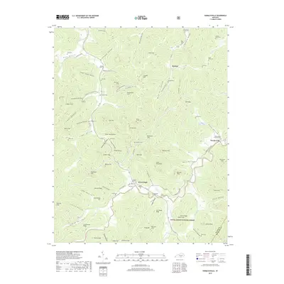
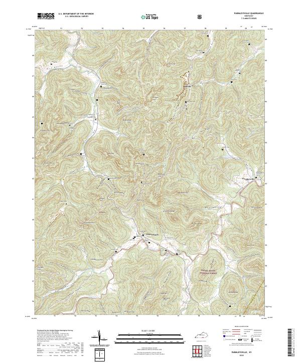
1954 Parmleysville
Wayne County, KY
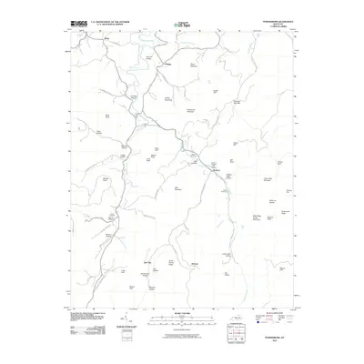
1954 Powersburg
Wayne County, KY
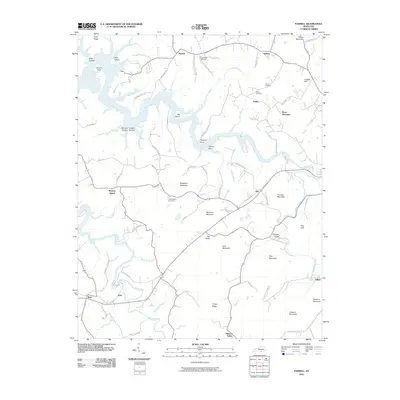
1978 Frazer
Wayne County, KY
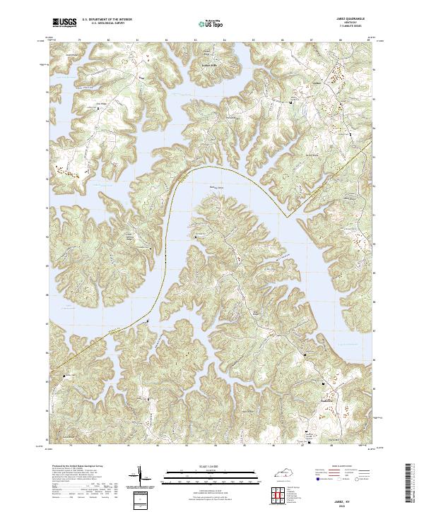
1978 Jabez
Wayne County, KY
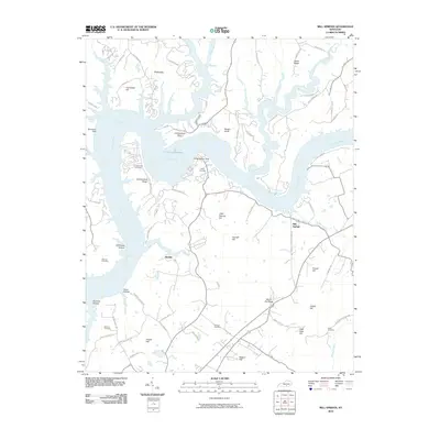
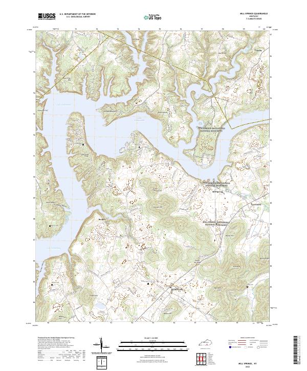
1978 Mill Springs
Wayne County, KY
1978 Parnell
Wayne County, KY
2010 Frazer
Wayne County, KY
2010 Jabez
Wayne County, KY
2010 Mill Springs
Wayne County, KY
2010 Parnell
Wayne County, KY
2010 Powersburg
Wayne County, KY
2011 Coopersville
Wayne County, KY
2011 Parmleysville
Wayne County, KY
2013 Coopersville
Wayne County, KY
2013 Frazer
Wayne County, KY

2013 Jabez
Wayne County, KY
2013 Mill Springs
Wayne County, KY
2013 Parmleysville
Wayne County, KY
2013 Parnell
Wayne County, KY
2013 Powersburg
Wayne County, KY
2016 Coopersville
Wayne County, KY
2016 Frazer
Wayne County, KY
2016 Jabez
Wayne County, KY
2016 Mill Springs
Wayne County, KY
2016 Parmleysville
Wayne County, KY
2016 Parnell
Wayne County, KY
2016 Powersburg
Wayne County, KY
2019 Coopersville
Wayne County, KY
2019 Frazer
Wayne County, KY
2019 Jabez
Wayne County, KY
2019 Mill Springs
Wayne County, KY
2019 Parmleysville
Wayne County, KY
2019 Parnell
Wayne County, KY
2019 Powersburg
Wayne County, KY
2022 Coopersville
Wayne County, KY
2022 Frazer
Wayne County, KY
2022 Jabez
Wayne County, KY
2022 Mill Springs
Wayne County, KY
2022 Parmleysville
Wayne County, KY
2022 Parnell
Wayne County, KY
2022 Powersburg
Wayne County, KY