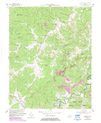
1954 Map of Coopersville
USGS Topo · Published 1983About this map
The Little South Fork river cuts through the southeast corner of this terrain, marking a boundary near the Daniel Boone National Forest. The landscape is defined by its series of ridges and hollows, including Lovell Ridge and Brammer Hill, which historically dictated the placement of small community centers like Coopersville and Gregory. A network of rural institutions, such as Mt Hermon Ch and Raleigh Creek Sch, is scattered across the uplands, reflecting a time of dispersed hill-country settlement.
Find a feature on this map
82 named features on this map. Tap any name to fly to it.
Don’t see what you’re looking for? This feature index may not catch every label — zoom into the map to look around manually.
Map Details
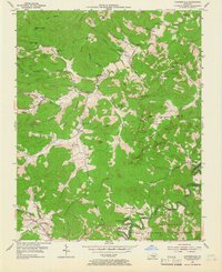
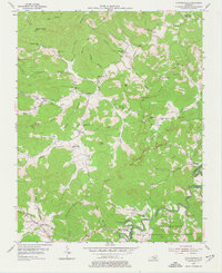
Editions of this 1954 Coopersville Map
4 editions found
Other maps of this area

1911 · Monticello
USGS Topo · 1:62,500

1914 · Monticello
USGS Topo · 1:62,500

1932 · Burnside
USGS Topo · 1:62,500

1934 · Barthell
USGS Topo · 1:62,500

1934 · Pall Mall
USGS Topo · 1:62,500

1953 · Frazer
USGS Topo · 1:24,000

1953 · Monticello
USGS Topo · 1:24,000

1953 · Mill Springs
USGS Topo · 1:24,000

1954 · Parmleysville
USGS Topo · 1:24,000

1954 · Coopersville
USGS Topo · 1:24,000