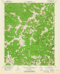
1954 Map of Coopersville
USGS Topo · Published 1966About this map
The South Fork Cumberland River carves through the southeast corner of this Kentucky landscape, defining the border between Wayne and McCreary counties. Much of the region is protected within the Cumberland National Forest, where the topography is marked by significant cliffs such as Tabletop Cliff, Betts Cliff, and Denney Cliff. Scattered settlements like Coopersville and Pueblo serve as local hubs, connected by winding routes like KY 92.
Find a feature on this map
80 named features on this map. Tap any name to fly to it.
Don’t see what you’re looking for? This feature index may not catch every label — zoom into the map to look around manually.
Map Details
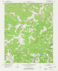
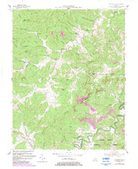
Editions of this 1954 Coopersville Map
4 editions found
Other maps of this area

1911 · Monticello
USGS Topo · 1:62,500

1914 · Monticello
USGS Topo · 1:62,500

1932 · Burnside
USGS Topo · 1:62,500

1934 · Barthell
USGS Topo · 1:62,500

1934 · Pall Mall
USGS Topo · 1:62,500

1953 · Frazer
USGS Topo · 1:24,000

1953 · Monticello
USGS Topo · 1:24,000

1953 · Mill Springs
USGS Topo · 1:24,000

1954 · Parmleysville
USGS Topo · 1:24,000

1954 · Coopersville
USGS Topo · 1:24,000