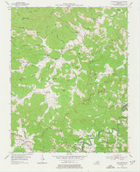
1954 Map of Coopersville
USGS Topo · Published 1977About this map
Coopersville and its surrounding ridge-and-hollow terrain are documented here during a period of active land use within the Cumberland National Forest. The landscape is defined by the winding course of the Little South Fork Cumberland River and its numerous tributaries, including Sinking Creek and Keeton Creek. This 1954 field-checked survey highlights a deeply ingrained rural network of family-named landmarks and essential community institutions. Evidence of the regional economy is visible through the scattered Oil Wells and smaller Oil Well operations located in Broiles Hollow and near Pine Knobs. Numerous small schools like Upper Turkey Creek Sch and Dry Fork Sch are paired with country churches such as Mt Hermon Ch and Big Sinking Ch, providing a detailed look at the social geography of Wayne and McCreary counties before the modernization of rural road networks.
Find a feature on this map
83 named features on this map. Tap any name to fly to it.
Don’t see what you’re looking for? This feature index may not catch every label — zoom into the map to look around manually.
Map Details
Editions of this 1954 Coopersville Map
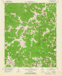
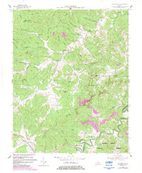
4 editions found
Other maps of this area

1911 · Monticello
USGS Topo · 1:62,500

1914 · Monticello
USGS Topo · 1:62,500

1932 · Burnside
USGS Topo · 1:62,500

1934 · Barthell
USGS Topo · 1:62,500

1934 · Pall Mall
USGS Topo · 1:62,500

1953 · Frazer
USGS Topo · 1:24,000

1953 · Monticello
USGS Topo · 1:24,000

1953 · Mill Springs
USGS Topo · 1:24,000

1954 · Parmleysville
USGS Topo · 1:24,000

1954 · Coopersville
USGS Topo · 1:24,000