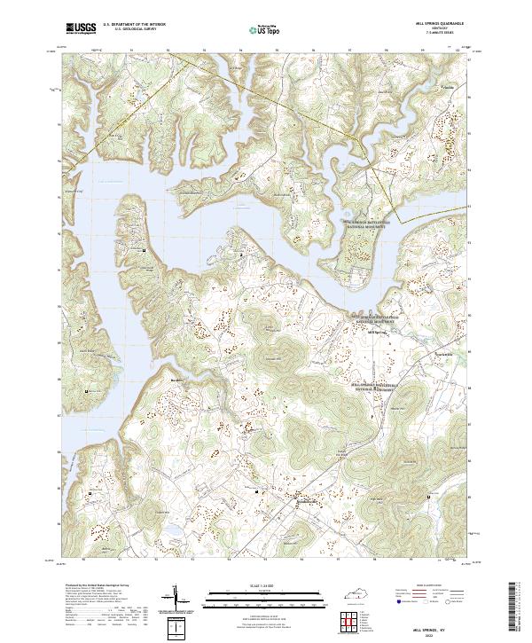
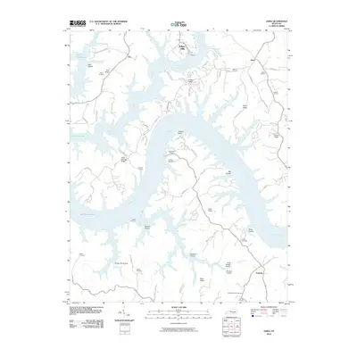
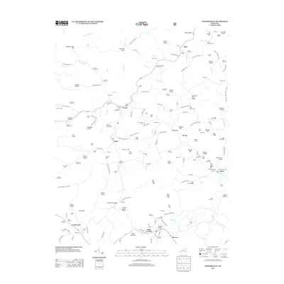
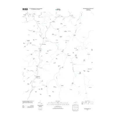
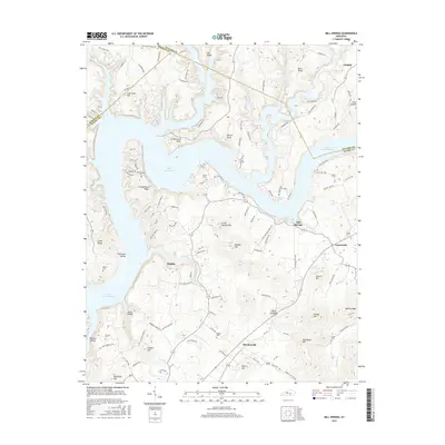
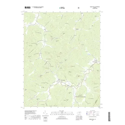
2022 Map of Mill Springs
USGS Topo · Published 2022About this map
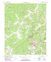
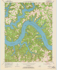
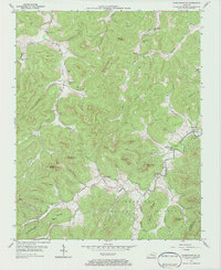
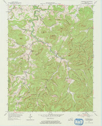
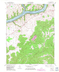
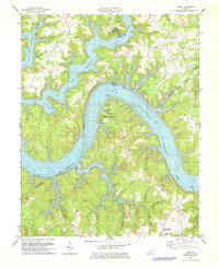
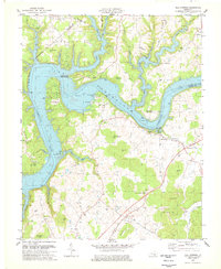
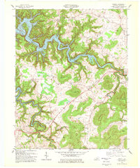
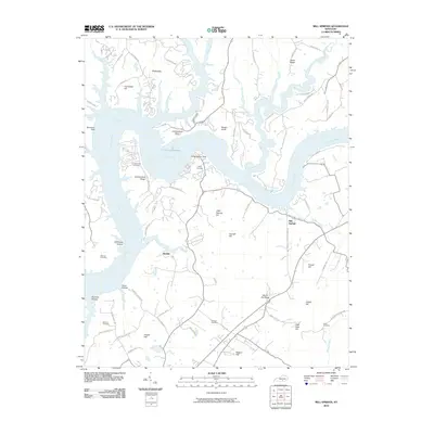
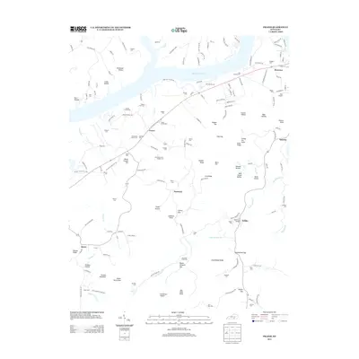
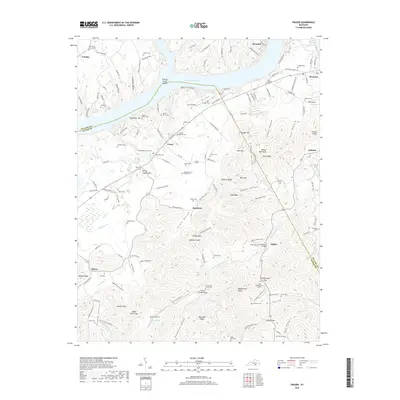
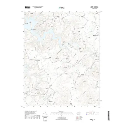
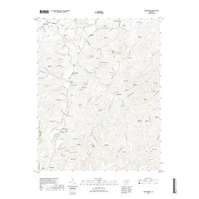
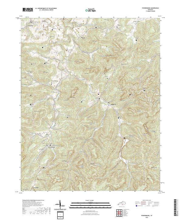
The Mill Springs Battlefield National Monument preserves a critical Civil War landscape along the banks of Lake Cumberland, where historic ridges and hollows meet the modern shoreline. The settlement of Mill Springs sits at the heart of this geography, surrounded by high points like Hoozer Hill and Hannah Hill. Further south, the community of Steubenville anchors a network of rural roads that connect local family landmarks and burial sites, including the Sloan Cem and Smith Cem. This modern survey illustrates the proximity of these significant preservation areas to established hamlets like Touristville and Rankin, showing how the rugged terrain of the Gap of the Ridge and numerous hollows such as Stillhouse Hollow continue to shape the development and movement of people through Wayne County.
Find a feature on this map
126 named features on this map. Tap any name to fly to it.
Don’t see what you’re looking for? This feature index may not catch every label — zoom into the map to look around manually.
Map Details
Editions of this 2022 Mill Springs Map
This is the sole edition of this map. No revisions or reprints were ever made.
Historical Maps of Mill Springs Through Time
47 maps found

1934 Pall Mall
Wayne County, KY
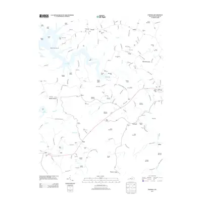
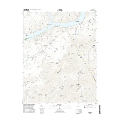
1953 Frazer
Wayne County, KY
1953 Mill Springs
Wayne County, KY
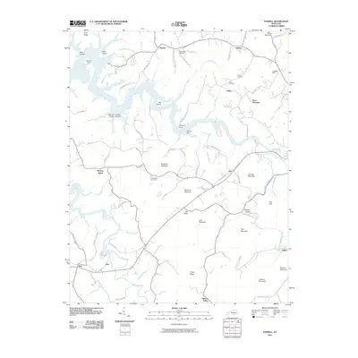
1953 Parnell
Wayne County, KY
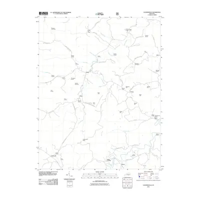
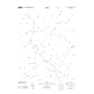
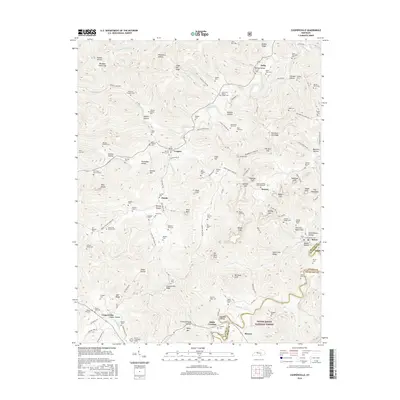
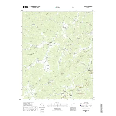
1954 Coopersville
Wayne County, KY
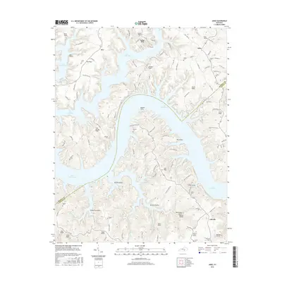
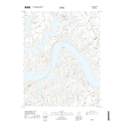
1954 Jabez
Wayne County, KY
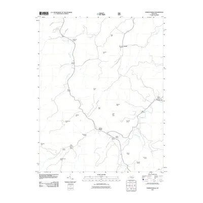
1954 Parmleysville
Wayne County, KY
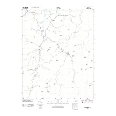
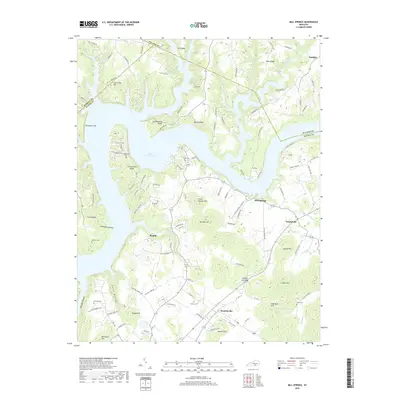
1954 Powersburg
Wayne County, KY
1978 Frazer
Wayne County, KY
1978 Jabez
Wayne County, KY
1978 Mill Springs
Wayne County, KY
1978 Parnell
Wayne County, KY
2010 Frazer
Wayne County, KY
2010 Jabez
Wayne County, KY
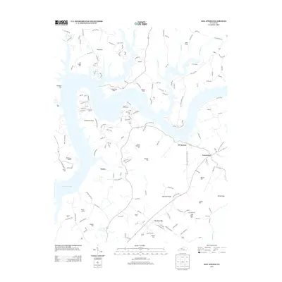
2010 Mill Springs
Wayne County, KY
2010 Parnell
Wayne County, KY
2010 Powersburg
Wayne County, KY
2011 Coopersville
Wayne County, KY
2011 Parmleysville
Wayne County, KY
2013 Coopersville
Wayne County, KY
2013 Frazer
Wayne County, KY

2013 Jabez
Wayne County, KY
2013 Mill Springs
Wayne County, KY
2013 Parmleysville
Wayne County, KY
2013 Parnell
Wayne County, KY
2013 Powersburg
Wayne County, KY
2016 Coopersville
Wayne County, KY
2016 Frazer
Wayne County, KY
2016 Jabez
Wayne County, KY
2016 Mill Springs
Wayne County, KY
2016 Parmleysville
Wayne County, KY
2016 Parnell
Wayne County, KY
2016 Powersburg
Wayne County, KY
2019 Coopersville
Wayne County, KY
2019 Frazer
Wayne County, KY
2019 Jabez
Wayne County, KY
2019 Mill Springs
Wayne County, KY
2019 Parmleysville
Wayne County, KY
2019 Parnell
Wayne County, KY
2019 Powersburg
Wayne County, KY
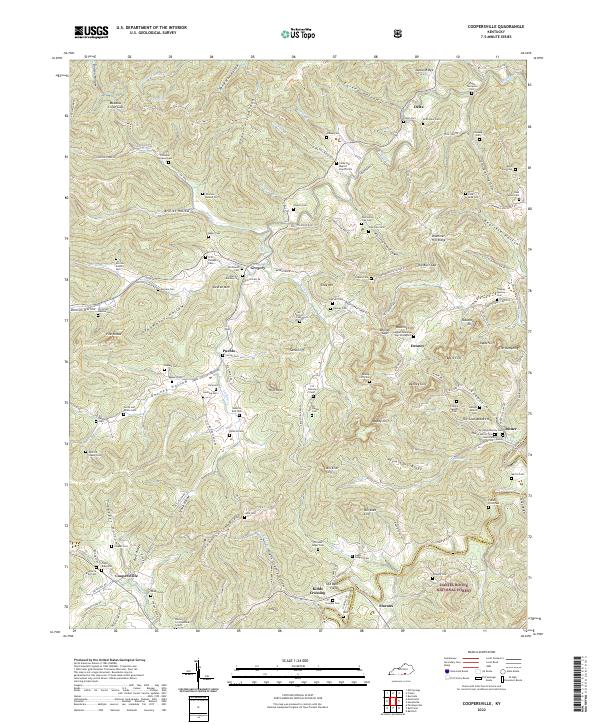
2022 Coopersville
Wayne County, KY
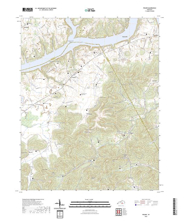
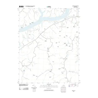
2022 Frazer
Wayne County, KY
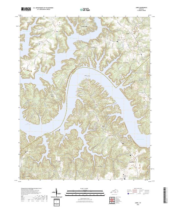
2022 Jabez
Wayne County, KY
2022 Mill Springs
Wayne County, KY
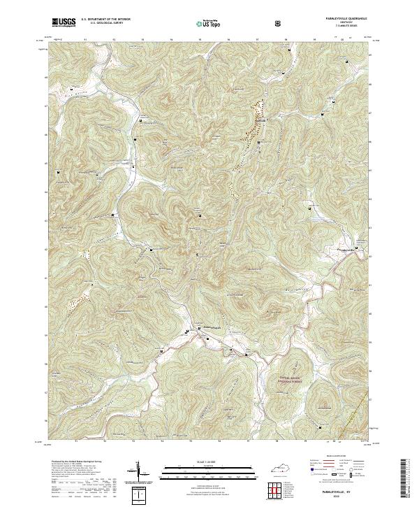
2022 Parmleysville
Wayne County, KY
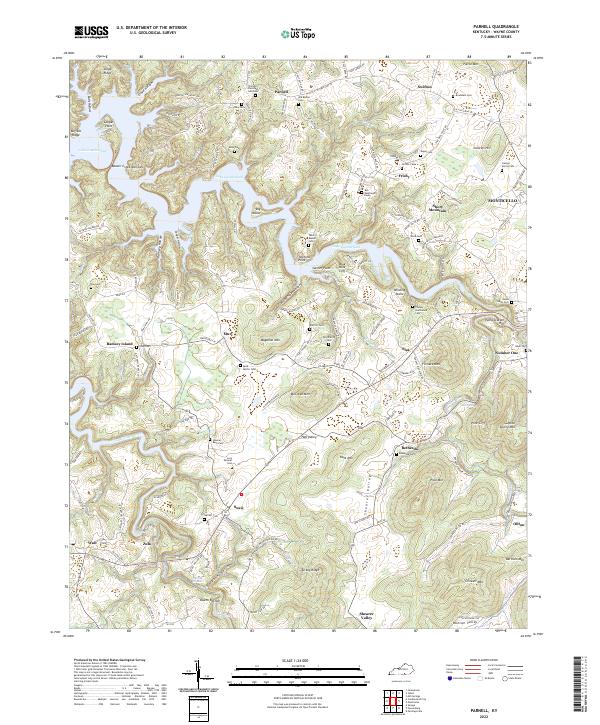
2022 Parnell
Wayne County, KY
2022 Powersburg
Wayne County, KY