2020s Maps of Oberlin, Louisiana
Explore 8 historic maps of Oberlin from the 2020s. These maps offer a rare glimpse into what life looked like during the 2020s — showing old roads, neighborhoods, homes, and landmarks that have changed or disappeared over time.
Whether you're researching your family's past, planning a metal detecting trip, or studying how Oberlin's landscape evolved across the 2020s, these high-resolution maps are a powerful tool for exploring the history of this region.
- Focus on a specific era: All maps on this page are from the 2020s, giving you a focused view of this time period.
- See what’s changed: Compare century-old streets, trails, and buildings to today's modern landscape using overlays and satellite layers.
- Research with precision: Use these maps for genealogy, historical research, land use analysis, or educational projects.
- View, download, or print: Maps are fully viewable online in high resolution, and can be downloaded or printed for your own records.
Start exploring Oberlin's history through authentic maps from the 2020s. This is your window into the past.
Oberlin, LA maps
(8)- 2020 Map of Oberlin, 2020 Print
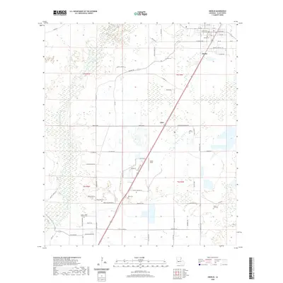 2020 Oberlin2020 Print · USGSCovers Oberlin, including Emad, Lyles, and other nearby areas
 - 2020 Map of Pine Chapel, 2020 Print
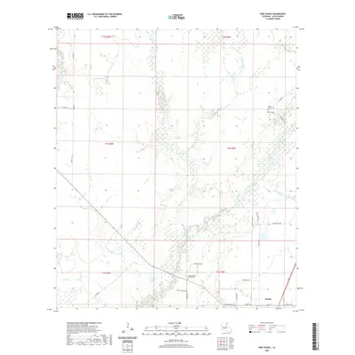 2020 Pine Chapel2020 Print · USGSCovers Oberlin, including Allen Parish, United States, and other nearby areas
 - 2020 Map of Guy, 2020 Print
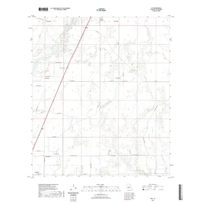 2020 Guy2020 Print · USGSCovers Oberlin, including Ward, Foley, and other nearby areas
 - 2020 Map of Soileau, 2020 Print
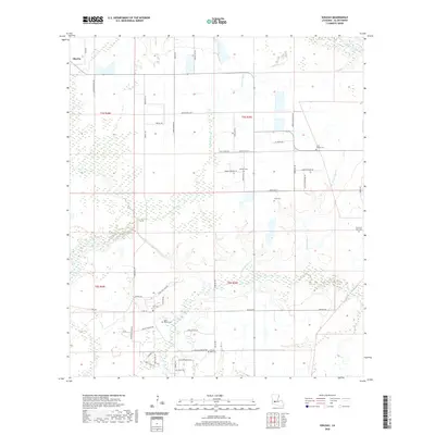 2020 Soileau2020 Print · USGSCovers Oberlin, including Soileau, Allen Parish, and other nearby areas
 - 2024 Map of Soileau, 2024 Print
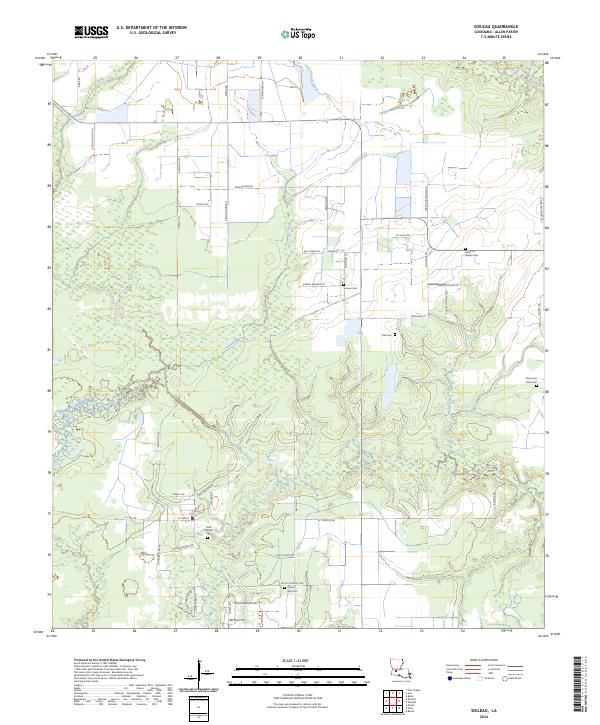 2024 Soileau2024 Print · USGSThe rural landscape of Allen Parish is documented here during the early twenty-first century, showing a region shaped by bayous and family holdings. Researchers can trace ancestral sites at Sonnier Cem, Chaumont Cove Cem, and Saint Peters Cem.
 - 2024 Map of Oberlin, 2024 Print
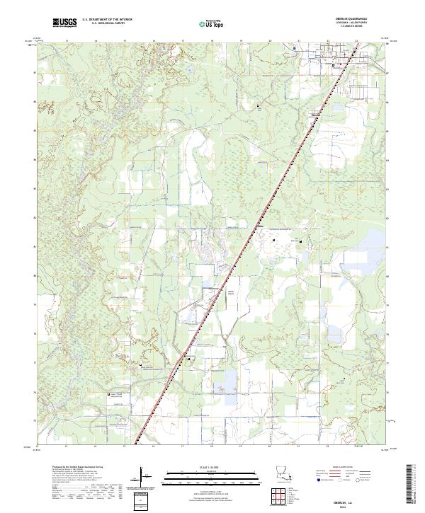 2024 Oberlin2024 Print · USGSThe Allen Parish seat at Oberlin and the surrounding river bottomlands are captured here in the 2020s. Genealogists can trace family roots at Oberlin Cem, Botley Cem, and Saint John Cem near the Calcasieu River.
 - 2024 Map of Guy, 2024 Print
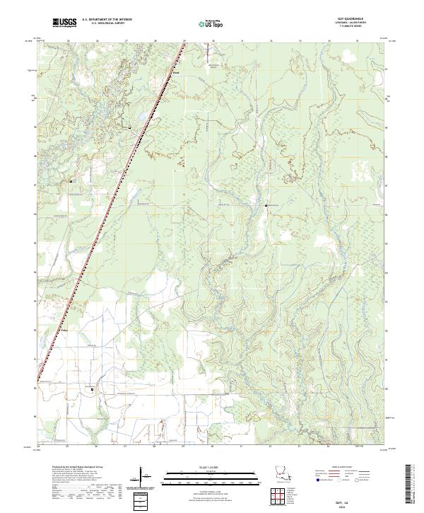 2024 Guy2024 Print · USGSAllen Parish in the modern era maintains its quiet rural character where the Calcasieu River meets a network of family-named gullies and creeks. Genealogists can trace local roots through several family burial grounds, including McGee Cem, Deshotel Cem, and the small settlement of Ward.
 - 2024 Map of Pine Chapel, 2024 Print
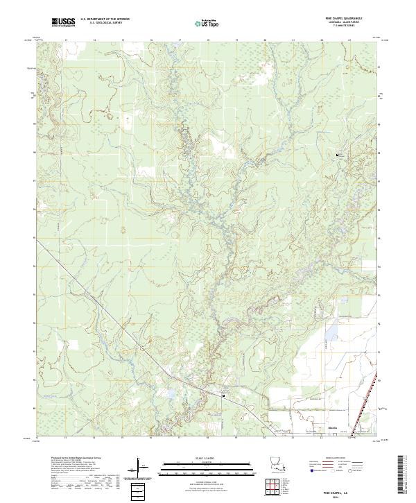 2024 Pine Chapel2024 Print · USGSAllen Parish is shown here in the contemporary era, centered on the wetlands surrounding the Calcasieu River. Researchers can trace local lineage and land use through named landmarks like the Pine Chapel Cem and family roads such as Garcille Rd.
End of results
Showing maps 1-8 of 8
Top cities near Oberlin
- Oakdale historical maps
- Kinder historical maps
- Basile historical maps
- Elton historical maps
- Fenton historical maps
Top neighborhoods of Oberlin
Frequently asked questions
- What are the different types of historical maps available for Oberlin?
- What is the oldest map of Oberlin?
- Where can I purchase historical maps of Oberlin for my home or office?
- Where can I download high-res historical maps of Oberlin?
- Are there historical topographic maps available for Oberlin?
- Is there historical aerial imagery available for Oberlin?
- Where are historical maps of Oberlin sourced from?