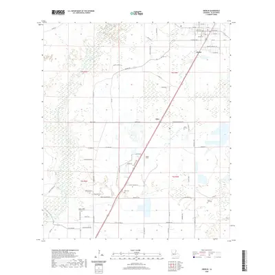
2020 Map of Oberlin
USGS Topo · Published 2020About this map
The Allen Parish Courthouse serves as the focal point for Oberlin, situated in a landscape where the Calcasieu River and its associated wetlands define the western boundary. This survey illustrates the transition from the town's grid of streets, such as Martin Luther King Dr and Acadian Ave, to the expansive rural reaches of the parish. The area is marked by a significant concentration of family and community burial grounds, including Lyles Cem, Botley Cem, and Green Oak Cem, which are scattered among the timberlands and fields. To the south, the small settlement of Elder and the Wilder Airport sit along the primary north-south corridor, while numerous parish roads like Douglas Sonnier Rd and Hickory Flat Rd provide access to the outlying rural tracts.
Find a feature on this map
66 named features on this map. Tap any name to fly to it.
Don’t see what you’re looking for? This feature index may not catch every label — zoom into the map to look around manually.
Map Details
Editions of this 2020 Oberlin Map
This is the sole edition of this map. No revisions or reprints were ever made.
Other maps of this area

1935 · Mittie
USGS Topo · 1:31,680

1947 · Kinder
USGS Topo · 1:31,680

1947 · Foley
USGS Topo · 1:31,680

1947 · Oberlin
USGS Topo · 1:31,680

1947 · Pine Chapel
USGS Topo · 1:31,680

1947 · Le Blanc
USGS Topo · 1:31,680

1947 · Elton
USGS Topo · 1:31,680

1947 · Edna
USGS Topo · 1:31,680
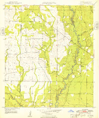
1948 · Mittie
USGS Topo · 1:24,000
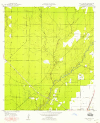
1948 · Pine Chapel
USGS Topo · 1:24,000