Old Maps of Gonzales, Louisiana
Explore 33 old maps of Gonzales, spanning from 1892 to today. These high-resolution historic maps reveal how streets, neighborhoods, landmarks, and natural features evolved over time — perfect for genealogy, metal detecting, research, and local history exploration.
What you can do with these maps:
- See how Gonzales changed over time: Compare historical maps to modern-day views to trace roads, homesites, rail lines & more.
- View detailed metadata: Each map includes creators, publishers, year, scale, and archive source.
- Overlay maps with satellite & LiDAR: Visualize the past alongside modern tools to explore terrain & human change.
- Trusted historical sources: Maps sourced from the USGS, Library of Congress, and other archives.
- Access maps your way: View online, download high-res files, or order prints for personal or research use.
Start exploring old maps of Gonzales to uncover forgotten places, hidden landmarks, and the deep history beneath your feet.
Gonzales, LA maps
(33)- 1892 Map of Donaldsonville
 1892 Donaldsonville1892 Print · USGSLouisiana river life in the early 1890s centered on the great meanders and landings of the river parishes. Genealogists and historians can trace the early footprints of Donaldsonville, locate the Indian Mounds, and see the impact of the Nita Crevasse on the shoreline.12 unique versions available
 - 1934 Map of Denham Springs
 1934 Denham Springs1934 Print · USGSLouisiana's river parishes come to life in the early 1930s as settlement spreads from the railroads into the bayous. Genealogists can trace family names at Broussard Grove Ch, locate the Rosenwald Sch, or find the old French Settlement Ferry crossing.2 unique versions available
 - 1935 Map of Gonzales
 1935 Gonzales1935 Print · USGSThe river parishes of Louisiana come alive in the mid-1930s, showing the vital connection between the winding Mississippi River and the growing interior. Genealogists can locate family landmarks like Conway Plantation or the industrial Belle Helene Refinery and St Paul Church.
 - 1939 Map of Denham Springs, 1942 Print
 1939 Denham Springs1942 Print · USGSLouisiana's river country comes alive in this pre-war survey of the Amite River basin during its transition to the modern highway era. Researchers can locate family roots at St Josephs Ch & Cem, track the old French Settlement Ferry, or find the Hoo Shoo Too Club.2 unique versions available
 - 1939 Map of Donaldsonville, 1953 Print
 1939 Donaldsonville1953 Print · USGSLouisiana's river parishes are captured here in the late 1930s, showing a landscape defined by the winding Mississippi River and its rich agricultural traditions. Genealogists and historians can trace family roots through numerous combined school and church sites like Little Zion Sch Ch & Cem or the sprawling riverside Monroe Plantation.5 unique versions available
 - 1953 Map of Prairieville, 1954 Print
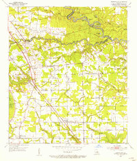 1953 Prairieville1954 Print · USGSAscension Parish during the early fifties shows a landscape of riverine bayous and burgeoning settlements along the newly modernized Airline Highway. Researchers can trace family roots through numerous landmarks like Oak Grove, Galvez, and local congregations at St Paul Ch and Zion Ch.
 - 1953 Map of Gonzales, 1955 Print
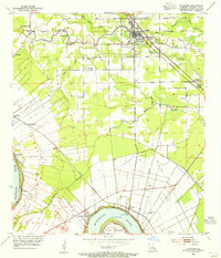 1953 Gonzales1955 Print · USGSAscension Parish at mid-century reveals a landscape defined by the winding Mississippi River and a dense network of bayous. Researchers can trace historic river landings like Point Houmas Landing and rural community hubs such as Burnside and Belle Helene.
 - 1954 Map of Gonzales
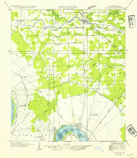 1954 Gonzales1954 Print · USGSAscension Parish during the mid-fifties shows a landscape shaped by the Mississippi meanders and the arrival of modern highways. Local historians can trace the riverfront rail networks and family landmarks like Conway Plantation, Marchland, and the Belle Helene Refinery.
 - 1954 Map of Baton Rouge, 1974 Print
 1954 Baton Rouge1974 Print · USGSSoutheast Louisiana in the mid-fifties is captured here during a period of transition for its river and rail economies. Researchers can trace the path of the Mississippi River and find landmarks like the Bonnet Carre Spillway and Bayou Plaquemine.2 unique versions available
 - 1956 Map of Baton Rouge
 1956 Baton Rouge1956 Print · USGSSouth Louisiana at the height of the mid-century oil boom shows a landscape of river oxbows and rising industry. Researchers can trace family roots through river towns like Scotlandville or locate early industrial sites and Oil wells near Lake Maurepas.
 - 1961 Map of Gonzales, 1963 Print
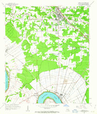 1961 Gonzales1963 Print · USGSThe Ascension Parish landscape in the early sixties shows the shift from river-based plantation culture to a modern rail and industrial corridor. Genealogists and local historians can trace family landmarks like Belle Helene Plantation, St Landry Ch, and Lusk Cem.3 unique versions available
 - 1961 Map of Baton Rouge, 1966 Print
 1961 Baton Rouge1966 Print · USGSSoutheastern Louisiana in the early sixties remains a landscape of deep river bends and sprawling coastal lakes. Genealogists and historians can trace the rail-and-river economy through landmarks like Free-Nigger Point, Donaldsonville, and the Illinois Central Railroad.
 - 1962 Map of Baton Rouge
 1962 Baton Rouge1962 Print · USGSSouth Louisiana in the early sixties reveals a landscape of river-bend parishes and emerging interstate corridors. Genealogists and historians can trace family roots through historic river towns like Donaldsonville and Plaquemine, or follow the path of the Illinois Central Railroad through the swamp basins.
 - 1962 Map of Donaldsonville, 1963 Print
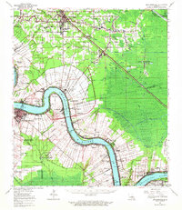 1962 Donaldsonville1963 Print · USGSThe Mississippi River parishes of Ascension and St. James are shown here in the early sixties as industrial oil fields began to emerge alongside historic riverfront settlements. Researchers can trace family roots through numerous sites like St Michael Cem, Burnside Cem, and the small community of Brulie Maurin.
 - 1963 Map of Prairieville, 1964 Print
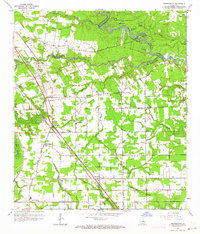 1963 Prairieville1964 Print · USGSAscension Parish is captured in the early sixties as a patchwork of bayous and growing rail-side settlements. Genealogists and local historians can trace the foundations of Prairieville, Dutch Town, and Galvez, or locate family sites near Prairieville School and Mt Zion Cemetery.4 unique versions available
 - 1963 Map of Denham Springs, 1967 Print
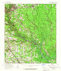 1963 Denham Springs1967 Print · USGSLouisiana's river-and-bayou country comes alive in the mid-1960s, showing the settlement patterns of Livingston and Ascension Parishes. Researchers can trace family roots at Palmetto Cem, locate the Walker Lookout Tower, or find old school sites like Frost Sch.2 unique versions available
 - 1965 Map of Denham Springs
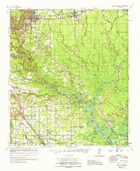 1965 Denham Springs1965 Print · USGSLivingston and Ascension Parishes are captured here in the mid-1960s, showing a landscape defined by the winding Amite River and its many bayous. Researchers can locate family landmarks like Petes Rest Cem, Port Vincent, and rural schoolhouses including 7th Ward Sch.
 - 1965 Map of Donaldsonville
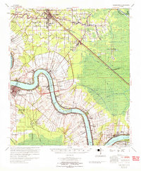 1965 Donaldsonville1965 Print · USGSThe Mississippi River corridor south of Baton Rouge comes into focus in the 1960s, showing a transition between plantation heritage and the petroleum age. Genealogists can trace family names and local landmarks through sites like Belle Helene Plantation, Brulie Maurin, and St Landry Ch Cem.
 - 1983 Map of Ponchatoula, 1984 Print
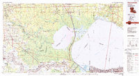 1983 Ponchatoula1984 Print · USGSThe Lake Pontchartrain Basin and the River Parishes come into focus during the early 1980s, showcasing the region's complex water-dependent geography. Researchers can trace the rail routes of the Illinois Central Gulf Railroad and explore landmarks from Pass Manchac to Donaldsonville.2 unique versions available
 - 1991 Map of Gonzales
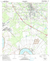 1991 Gonzales1991 Print · USGSAscension Parish is captured here in the early nineties as residential growth expanded outward from the river. Genealogists and local historians can trace family sites near Hope Haven Cem, the community at Hillaryville, and landmarks like Sacred Heart of Mary Ch.2 unique versions available
 - 1991 Map of Prairieville
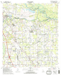 1991 Prairieville1991 Print · USGSThe Ascension and East Baton Rouge Parish borderlands come alive in this early 1990s survey of the Bayou Manchac region. Trace family history through local landmarks like Prairieville Cem, St Amant, and Galvez Middle Sch.2 unique versions available
 - 1995 Map of Prairieville, 1998 Print
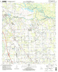 1995 Prairieville1998 Print · USGSPrairieville and its neighboring settlements are captured in the mid-1990s during a period of steady residential growth between Baton Rouge and New Orleans. Genealogists and local historians can trace family landmarks like Richards Gardens of Memory Cem, the St John Ch, and the old crossroads at Hope Villa.
 - 1998 Map of Gonzales, 2001 Print
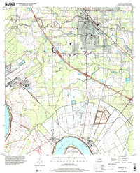 1998 Gonzales2001 Print · USGSAscension Parish at the close of the twentieth century shows a unique blend of riverfront industry and suburban growth near the Mississippi. Genealogists can locate family landmarks like Sacred Heart of Mary Ch, Burnside Cem, and the river-bend settlement of Hillaryville.
 - 2012 Map of Gonzales, 2012 Print
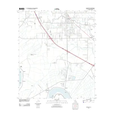 2012 Gonzales2012 Print · USGSThe riverfront and wetlands of Ascension Parish come to life in this 2012 record of GONZALES and its neighboring bayou communities. Genealogists and historians can trace family locations through numerous sites like Lusk Cem, Saint Landry Cem, and the river landings at Burnside Landing.
 - 2012 Map of Prairieville, 2012 Print
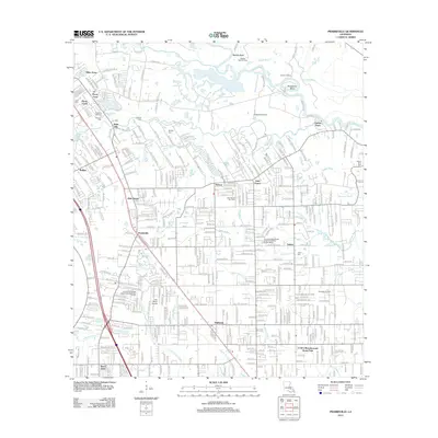 2012 Prairieville2012 Print · USGSThe Prairieville area of Louisiana is shown here during a period of residential growth amidst the historic bayous. Genealogists can locate family burial sites at Ficklin Cem and Hillman Cem while tracing the waters of Bayou Manchac and Cotton Bayou.
Showing maps 1-25 of 33
Top cities near Gonzales
- Baton Rouge historical maps
- St. George historical maps
- Saint George historical maps
- Prairieville historical maps
- Donaldsonville historical maps
- Lutcher historical maps
See more
Frequently asked questions
- What are the different types of historical maps available for Gonzales?
- What is the oldest map of Gonzales?
- Where can I purchase historical maps of Gonzales for my home or office?
- Where can I download high-res historical maps of Gonzales?
- Are there historical topographic maps available for Gonzales?
- Is there historical aerial imagery available for Gonzales?
- Where are historical maps of Gonzales sourced from?