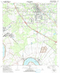
1991 Map of Gonzales
USGS Topo · Published 1991About this map
The Mississippi River defines the southwestern edge of this landscape, bending sharply around Point Houmas near the settlements of Hillaryville and Burnside. In the early 1990s, the area reflects a transition from riverfront operations to the expanding suburban footprint of Gonzales. This growth is anchored by institutions like Ascension College and East Ascension High Sch, while older community foundations remain visible through numerous neighborhood churches such as Sacred Heart of Mary Ch and St Landry Ch. To the south and east, the industrial character of Ascension Parish becomes more pronounced, evidenced by the Panama Canal waterway and significant Tailings Ponds that interrupt the drainage of Bayou Conway. The map provides a detailed look at the local infrastructure of the era, from the residential streets of Weber City to the more rural outliers like Brittany.
Find a feature on this map
49 named features on this map. Tap any name to fly to it.
Don’t see what you’re looking for? This feature index may not catch every label — zoom into the map to look around manually.
Map Details
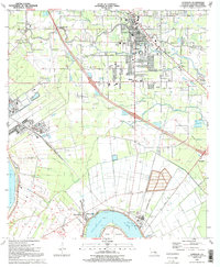
Editions of this 1991 Gonzales Map
2 editions found
Other maps of this area

1892 · Donaldsonville
USGS Topo · 1:62,500

1908 · Baton Rouge
USGS Topo · 1:62,500

1934 · Denham Springs
USGS Topo · 1:62,500

1935 · Gonzales
USGS Topo · 1:31,680

1936 · White Castle
USGS Topo · 1:62,500

1939 · Denham Springs
USGS Topo · 1:62,500

1939 · Baton Rouge
USGS Topo · 1:62,500

1939 · Donaldsonville
USGS Topo · 1:62,500

1946 · Convent
USGS Topo · 1:31,680

1947 · Donaldsonville
USGS Topo · 1:31,680