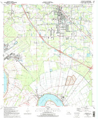
1991 Map of Gonzales
USGS Topo · Published 1991About this map
The Mississippi River creates a sharp southern boundary for this Ascension Parish landscape, curving around Point Houmas and the industrial activity of the Darrow Oil Field. Settlement is concentrated in the northern city of Gonzales, which serves as a regional hub with Ascension College and the East Ascension High School. The surrounding areas maintain a mixture of agricultural drainage and expanding suburban pockets, evidenced by communities like Cornerview, Weber City, and Brittany.
Find a feature on this map
57 named features on this map. Tap any name to fly to it.
Don’t see what you’re looking for? This feature index may not catch every label — zoom into the map to look around manually.
Map Details
Editions of this 1991 Gonzales Map
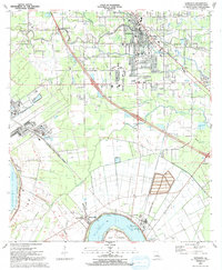
2 editions found
Other maps of this area

1892 · Donaldsonville
USGS Topo · 1:62,500

1908 · Baton Rouge
USGS Topo · 1:62,500

1934 · Denham Springs
USGS Topo · 1:62,500

1935 · Gonzales
USGS Topo · 1:31,680

1936 · White Castle
USGS Topo · 1:62,500

1939 · Denham Springs
USGS Topo · 1:62,500

1939 · Baton Rouge
USGS Topo · 1:62,500

1939 · Donaldsonville
USGS Topo · 1:62,500

1946 · Convent
USGS Topo · 1:31,680

1947 · Donaldsonville
USGS Topo · 1:31,680