Old Maps of Saint Thomas, Louisiana for Hiking & Exploration
Hike through history with 12 historic maps of Saint Thomas. Explore old trails, ghost towns, and forgotten backroads — perfect for outdoor adventurers and local explorers.
- Rediscover forgotten places: Map out old mining camps, roads, and footpaths that no longer exist on modern maps.
- Layer with modern tools: Combine with LiDAR or satellite views to plan hikes through historical terrain.
- Made for exploration: Popular among hikers, overlanders, and local history lovers.
Use these maps to find adventure and explore the hidden past of Saint Thomas.
Saint Thomas, LA maps
(12)- 1945 Map of New Orleans
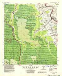
 1945 New Orleans1945 Print · USGSCoastal Louisiana and the Mississippi delta are captured here just after the war, showing the region's transition into a modern industrial and transit hub. Genealogists can trace family settlements along Bayou Teche or identify rail stops for the Illinois Central and Texas & Pacific lines.
 - 1953 Map of Napoleonville
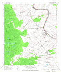
 1953 Napoleonville1953 Print · USGSAssumption Parish sugar plantations and the emerging oil industry define this mid-century landscape. Researchers can trace historic family landholdings like Little Texas Plantation or follow the rail lines through Napoleonville and Paincourtville.2 unique versions available
 - 1963 Map of New Orleans
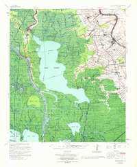
 1963 New Orleans1963 Print · USGSCoastal Louisiana in the mid-twentieth century reveals a complex world of bayou settlements, expanding oil fields, and vital rail networks. Genealogists and historians can trace family roots through river towns like Thibodaux or follow the Southern Pacific line through Franklin and Patterson.4 unique versions available
 - 1965 Map of Napoleonville, 1967 Print
 1965 Napoleonville1967 Print · USGSAssumption Parish at the height of its mid-century industrial growth shows a landscape defined by the winding Bayou Lafourche. Researchers can trace the path of the Texas and Pacific railroad through historic centers like Napoleonville and Paincourtville.3 unique versions available
 - 1966 Map of New Orleans
 1966 New Orleans1966 Print · USGSCoastal Louisiana in the mid-1960s reveals a transition from traditional bayou life to an intensive offshore oil and gas economy. Researchers can trace the rail lines of the Southern Pacific RR through Morgan City or locate the Eugene Island Lighthouse among the delta's shifting marshes.
 - 1967 Map of Napoleonville, 1969 Print
 1967 Napoleonville1969 Print · USGSThe Louisiana bayous and wetlands of Assumption and St. Martin Parishes are captured here in the late sixties during a period of transition for the oil and gas industries. Genealogists and historians can trace family-named settlements like Stephenville and Pierre Part or locate St. Benedict School and the Sacred Heart Church.
 - 1983 Map of Morgan City
 1983 Morgan City1983 Print · USGSThe Louisiana coast in the early eighties reveals a landscape shaped by water and industry, from the salt domes to the sugar parishes. Trace the historic corridor of the Bayou Teche, the rail lines through Morgan City, and the wetlands of Weeks Island.2 unique versions available
 - 2012 Map of Napoleonville, 2012 Print
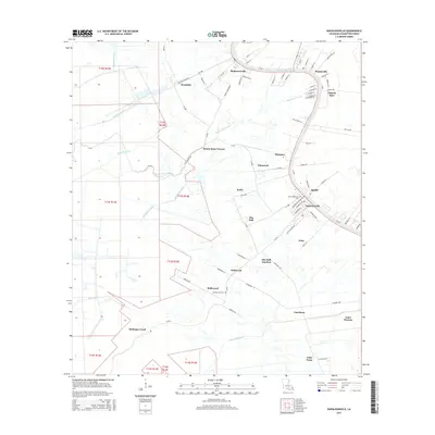
 2012 Napoleonville2012 Print · USGSCovers Saint Thomas, including Napoleonville, Glenwood, and other nearby areas
 - 2015 Map of Napoleonville, 2015 Print
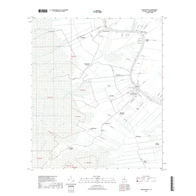
 2015 Napoleonville2015 Print · USGSCovers Saint Thomas, including Napoleonville, Glenwood, and other nearby areas
 - 2018 Map of Napoleonville, 2018 Print
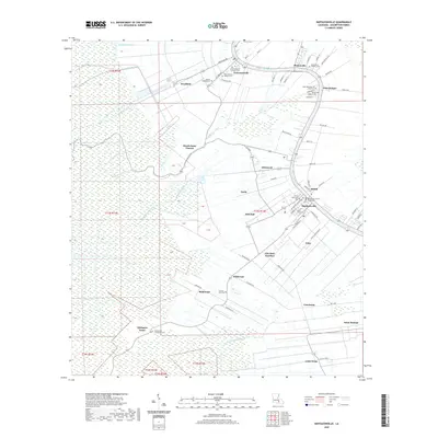
 2018 Napoleonville2018 Print · USGSCovers Saint Thomas, including Napoleonville, Glenwood, and other nearby areas
 - 2020 Map of Napoleonville, 2020 Print
 2020 Napoleonville2020 Print · USGSCovers Saint Thomas, including Napoleonville, Glenwood, and other nearby areas
 - 2024 Map of Napoleonville, 2024 Print
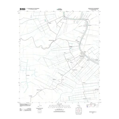
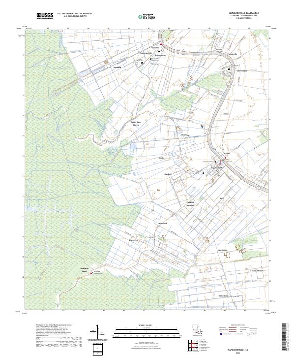 2024 Napoleonville2024 Print · USGSBayou Lafourche defines this Assumption Parish landscape in the twenty-first century, where historic riverfront settlements remain densely clustered. Genealogists and historians can trace local family roots through numerous burial grounds like Saint Anne Cem and Saint Benedict the Moor Cem.
End of results
Showing maps 1-12 of 12
Top cities near Saint Thomas
- Thibodaux historical maps
- Morgan City historical maps
- Donaldsonville historical maps
- Berwick historical maps
- Convent historical maps
- Napoleonville historical maps
Frequently asked questions
- What are the different types of historical maps available for Saint Thomas?
- What is the oldest map of Saint Thomas?
- Where can I purchase historical maps of Saint Thomas for my home or office?
- Where can I download high-res historical maps of Saint Thomas?
- Are there historical topographic maps available for Saint Thomas?
- Is there historical aerial imagery available for Saint Thomas?
- Where are historical maps of Saint Thomas sourced from?