Old Maps of Broussard, Louisiana for Hiking & Exploration
Hike through history with 13 historic maps of Broussard. Explore old trails, ghost towns, and forgotten backroads — perfect for outdoor adventurers and local explorers.
- Rediscover forgotten places: Map out old mining camps, roads, and footpaths that no longer exist on modern maps.
- Layer with modern tools: Combine with LiDAR or satellite views to plan hikes through historical terrain.
- Made for exploration: Popular among hikers, overlanders, and local history lovers.
Use these maps to find adventure and explore the hidden past of Broussard.
Broussard, LA maps
(13)- 1954 Map of Baton Rouge, 1974 Print
 1954 Baton Rouge1974 Print · USGSSoutheast Louisiana in the mid-fifties is captured here during a period of transition for its river and rail economies. Researchers can trace the path of the Mississippi River and find landmarks like the Bonnet Carre Spillway and Bayou Plaquemine.2 unique versions available
 - 1955 Map of Odenburg
 1955 Odenburg1955 Print · USGSLouisiana's river country comes alive in the mid-1950s as it transitions from a landing-based economy to modern rail and flood control. Researchers can trace family sites at Jacoby Chapel & Cem or locate historic river landings like Hicks Ldg and Speer Ldg.
 - 1956 Map of Baton Rouge
 1956 Baton Rouge1956 Print · USGSSouth Louisiana at the height of the mid-century oil boom shows a landscape of river oxbows and rising industry. Researchers can trace family roots through river towns like Scotlandville or locate early industrial sites and Oil wells near Lake Maurepas.
 - 1961 Map of Baton Rouge, 1966 Print
 1961 Baton Rouge1966 Print · USGSSoutheastern Louisiana in the early sixties remains a landscape of deep river bends and sprawling coastal lakes. Genealogists and historians can trace the rail-and-river economy through landmarks like Free-Nigger Point, Donaldsonville, and the Illinois Central Railroad.
 - 1962 Map of Baton Rouge
 1962 Baton Rouge1962 Print · USGSSouth Louisiana in the early sixties reveals a landscape of river-bend parishes and emerging interstate corridors. Genealogists and historians can trace family roots through historic river towns like Donaldsonville and Plaquemine, or follow the path of the Illinois Central Railroad through the swamp basins.
 - 1968 Map of Plaucheville, 1971 Print
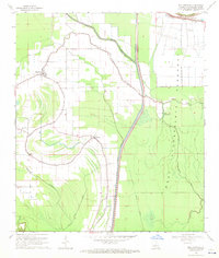 1968 Plaucheville1971 Print · USGSIn the late 1960s, the Avoyelles Parish landscape near Plaucheville was a study in flood control and rural settlement. Genealogists and local historians can trace family locations near Dupont, Bodoc, and the Bayou Jacque Ch while surveying the massive West Atchafalaya Floodway.3 unique versions available
 - 1970 Map of Odenburg, 1972 Print
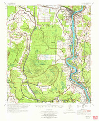 1970 Odenburg1972 Print · USGSThe Atchafalaya Basin in the early seventies shows a landscape defined by massive flood control projects and traditional bayou settlements. Genealogists can locate family-named landmarks and rural congregations like Dunbar High Sch, St Matthew Ch, and Taterville.
 - 1983 Map of New Roads
 1983 New Roads1983 Print · USGSThe river parishes of central Louisiana are documented in the early 1980s, showcasing the winding courses of the Atchafalaya and Mississippi. Genealogists and historians can trace rail-served river towns like Melville and Simmesport, or locate the Port Hudson National Cem and the State Penitentiary.2 unique versions available
 - 2012 Map of Plaucheville, 2012 Print
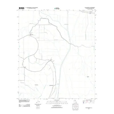 2012 Plaucheville2012 Print · USGSThe rural stretches of Avoyelles Parish are captured here during the early 2010s, showcasing a landscape shaped by water and agriculture. Genealogists and local historians can trace family locations near Plaucheville, Dupont, and the Plaucheville Cem.
 - 2015 Map of Plaucheville, 2015 Print
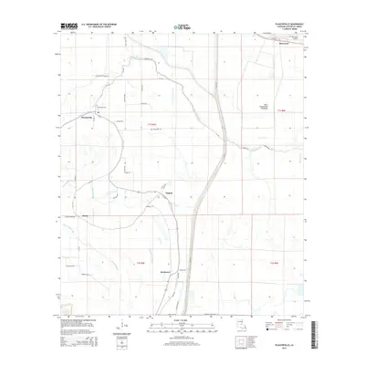 2015 Plaucheville2015 Print · USGSThe bayous and floodplains of Avoyelles Parish are captured here during the mid-2010s, showing a landscape shaped by water and agriculture. Genealogists and local historians can trace family-named routes and old settlements like Plaucheville, Dupont, and the Plaucheville Cem.
 - 2018 Map of Plaucheville, 2018 Print
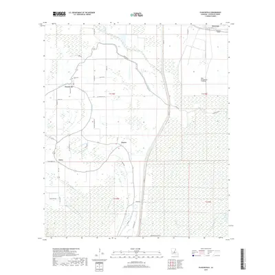 2018 Plaucheville2018 Print · USGSPlaucheville and the surrounding Avoyelles Parish countryside are shown here in the late twenty-teens, dominated by the West Atchafalaya Floodway. Researchers can trace local lineage through Plaucheville Cem and family-named roads like Levi Gremillion Rd or Guillory Rd.
 - 2020 Map of Plaucheville, 2020 Print
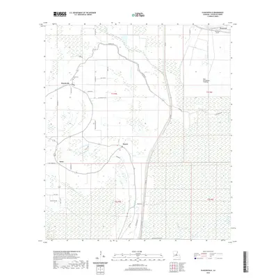 2020 Plaucheville2020 Print · USGSAvoyelles Parish is shown here in the early twenty-first century as a landscape defined by its intricate bayou networks and flood control systems. Genealogists can locate family-named routes and landmarks like Plaucheville Cem, Levi Gremillion Rd, and the settlement of Dupont.
 - 2024 Map of Plaucheville, 2024 Print
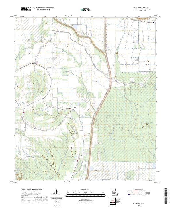 2024 Plaucheville2024 Print · USGSAvoyelles Parish appears here in its modern rural character, defined by the bayous and floodways of the Atchafalaya basin. Genealogists and local historians can trace family land and landmarks along Levi Gremillion Rd, the Plaucheville Cem, and the settlement of Dupont.
End of results
Showing maps 1-13 of 13
Top cities near Broussard
- Marksville historical maps
- Bunkie historical maps
- Cottonport historical maps
- Simmesport historical maps
- Mansura historical maps
- Melville historical maps
See more
Frequently asked questions
- What are the different types of historical maps available for Broussard?
- What is the oldest map of Broussard?
- Where can I purchase historical maps of Broussard for my home or office?
- Where can I download high-res historical maps of Broussard?
- Are there historical topographic maps available for Broussard?
- Is there historical aerial imagery available for Broussard?
- Where are historical maps of Broussard sourced from?