Old Maps of Fields, Louisiana for Academic Research
Study the evolution of Fields with 12 high-resolution historic maps. Whether you're teaching, researching, or modeling changes in land use, these maps provide essential visual documentation of urban, environmental, and geographic change.
- Analyze long-term change: Track patterns in development, transportation, and natural features.
- Ideal for environmental or urban studies: Support academic projects with primary historical map data.
- Use in the classroom or lab: Educators and researchers rely on these maps to bring historical context to life.
These maps are a powerful tool for teaching, research, and visualizing how Fields has changed over the decades.
Fields, LA maps
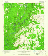
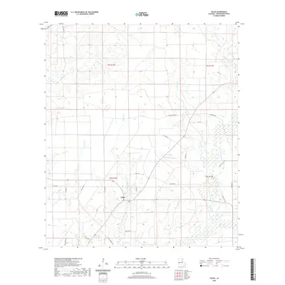
(12)- 1947 Map of Hyatt
 1947 Hyatt1947 Print · USGSBeauregard Parish in the late 1930s and 1940s reveals a landscape still defined by its timber roots. Genealogists and historians can trace the paths of the Old Logging Railroad near early settlements like Hyatt and Fields P.O.
 - 1952 Map of Lake Charles
 1952 Lake Charles1952 Print · USGSSouthwest Louisiana is captured here in the mid-fifties, showing a landscape defined by the rise of the petrochemical industry and deep-water navigation. Researchers can trace family roots through numerous small-town settlements and oil developments like Nibletts Bluff, the Lockport Oil Field, and Starks.
 - 1954 Map of Lake Charles, 1964 Print
 1954 Lake Charles1964 Print · USGSSouthwest Louisiana in the mid-fifties is defined by its massive petroleum industry and its complex network of bayous and rail lines. Researchers can trace the development of the Sulphur Mines Oil Field or locate historic settlements like Longville and De Quincy.3 unique versions available
 - 1955 Map of Hyatt
 1955 Hyatt1955 Print · USGSBeauregard Parish was a landscape of timber and rural outposts in the 1930s, caught between the era of rail logging and modern highways. You can trace the Old Logging Railroad Grade near Hyatt and locate the old Fields P. O..
 - 1959 Map of Bon Wier, 1960 Print
 1959 Bon Wier1960 Print · USGSThe Sabine River bottomlands at the end of the fifties reveal a landscape of timber, oil, and river-bend settlements. Genealogists can trace family names at Belgrade Cem and Hamm Cem, or locate the Biloxi Sch and Fredonia Ch.2 unique versions available
 - 1982 Map of Fields, 1983 Print
 1982 Fields1983 Print · USGSBeauregard Parish in the early eighties was a landscape of intricate waterways and quiet rural outposts. Local researchers can pinpoint the location of Hyatt High Sch in Fields or trace the winding course of Bear Head Creek and Paul Burns Gully.
 - 1986 Map of DeRidder
 1986 DeRidder1986 Print · USGSThe Louisiana-Texas borderlands come to life in the mid-eighties, showcasing the timber country and rail corridors of the Sabine River valley. Researchers can trace the legacy of small communities and transit lines through Merryville, Holly Springs, and the Missouri Pacific railroad.2 unique versions available
 - 2012 Map of Fields, 2012 Print
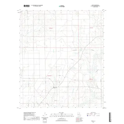
 2012 Fields2012 Print · USGSCovers Fields, including Mystic, Beauregard Parish, and other nearby areas
 - 2015 Map of Fields, 2015 Print
 2015 Fields2015 Print · USGSCovers Fields, including Mystic, Beauregard Parish, and other nearby areas
 - 2018 Map of Fields, 2018 Print
 2018 Fields2018 Print · USGSCovers Fields, including Mystic, Beauregard Parish, and other nearby areas
 - 2020 Map of Fields, 2020 Print
 2020 Fields2020 Print · USGSCovers Fields, including Mystic, Beauregard Parish, and other nearby areas
 - 2024 Map of Fields, 2024 Print
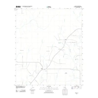
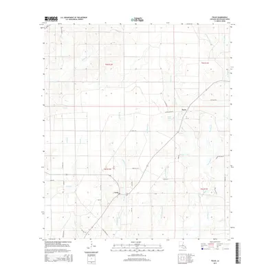
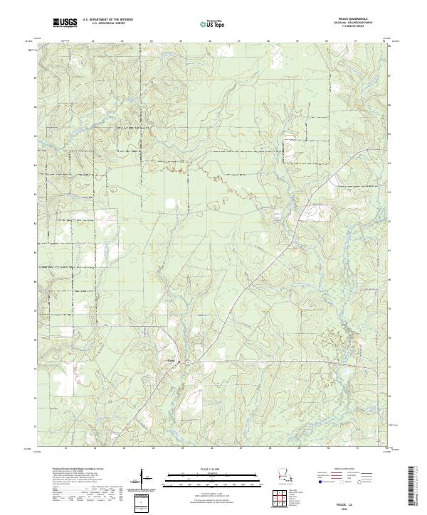 2024 Fields2024 Print · USGSThe rural crossroads of Fields and the surrounding piney woods are captured here in the early 2020s. Genealogists and local historians can trace family-named routes like Hyatt Cemetery Rd or follow the drainage of Bear Head Creek and Spikes Lake.
End of results
Showing maps 1-12 of 12
Top cities near Fields
Frequently asked questions
- What are the different types of historical maps available for Fields?
- What is the oldest map of Fields?
- Where can I purchase historical maps of Fields for my home or office?
- Where can I download high-res historical maps of Fields?
- Are there historical topographic maps available for Fields?
- Is there historical aerial imagery available for Fields?
- Where are historical maps of Fields sourced from?