Old Maps of DeQuincy, Louisiana for Metal Detecting
Plan your next treasure hunt with 12 historic maps of DeQuincy. Find old homesites, ghost towns, trails, and gathering spots that may be lost to time — perfect for identifying promising metal detecting locations.
- Locate forgotten sites: Uncover places like long-lost settlements, abandoned rail lines, or gathering spots.
- Plan better hunts: Use map overlays combined with LiDAR or satellite views to narrow in on historically rich areas.
- Made for detectorists: Thousands of hobbyists use these maps to discover relics, coins, and hidden history.
Use these historic maps to boost your research and find new opportunities beneath the surface of DeQuincy.
DeQuincy, LA maps
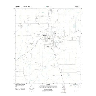
(12)- 1947 Map of DeQuincy
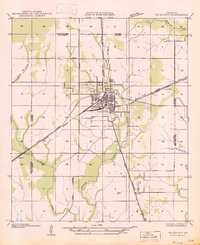 1947 DeQuincy1947 Print · USGSDe Quincy functioned as a vital rail crossroads in the late 1930s, situated at the meeting point of the Calcasieu and Beauregard parishes. Genealogists and historians can trace old homesteads near Rigmaiden Cem and the rail-side settlements at Sompayrac and Perkins.
 - 1952 Map of Lake Charles
 1952 Lake Charles1952 Print · USGSSouthwest Louisiana is captured here in the mid-fifties, showing a landscape defined by the rise of the petrochemical industry and deep-water navigation. Researchers can trace family roots through numerous small-town settlements and oil developments like Nibletts Bluff, the Lockport Oil Field, and Starks.
 - 1954 Map of Lake Charles, 1964 Print
 1954 Lake Charles1964 Print · USGSSouthwest Louisiana in the mid-fifties is defined by its massive petroleum industry and its complex network of bayous and rail lines. Researchers can trace the development of the Sulphur Mines Oil Field or locate historic settlements like Longville and De Quincy.3 unique versions available
 - 1956 Map of De Quincy, 1957 Print
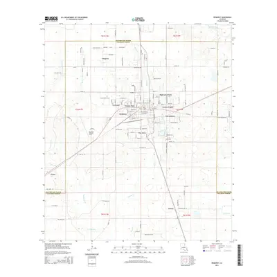
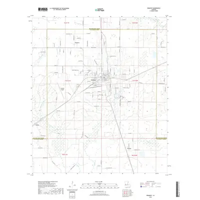
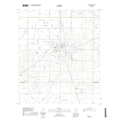
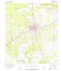 1956 De Quincy1957 Print · USGSMid-century Calcasieu Parish is captured here at the intersection of heavy rail and the emerging oil industry. Genealogists and historians can trace the growth of De Quincy through its Ward Sch and High Sch or locate family sites near Humphries Cem and Perkins.3 unique versions available
 - 1956 Map of De Quincy, 1957 Print
 1956 De Quincy1957 Print · USGSCalcasieu Parish comes alive in the mid-1950s as a bustling crossroads of rail, river commerce, and oil extraction. Researchers can trace the heritage of local families at Rigmaiden Cemetery, explore the rail junction at De Quincy, and locate rural landmarks like New Hope Church.3 unique versions available
 - 1986 Map of Lake Charles
 1986 Lake Charles1986 Print · USGSThe Louisiana-Texas borderlands are captured here in the mid-1980s, showcasing the industrial growth of the Lake Charles region and its rail-linked satellite towns. Trace the evolution of coastal settlements and family landmarks from Sulphur to the Highland Cem.2 unique versions available
 - 1994 Map of De Quincy, 1996 Print
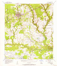
 1994 De Quincy1996 Print · USGSCalcasieu Parish in the mid-1990s was a landscape defined by the intersection of rail, timber, and the energy industry. Researchers can trace the layout of De Quincy and locate outlying communities like Hargrove or the resource-rich North De Quincy Oil Field.
 - 2012 Map of DeQuincy, 2012 Print
 2012 DeQuincy2012 Print · USGSCovers DeQuincy, including Helme, Eastern Heights, and other nearby areas
 - 2015 Map of DeQuincy, 2015 Print
 2015 DeQuincy2015 Print · USGSCovers DeQuincy, including Helme, Eastern Heights, and other nearby areas
 - 2018 Map of DeQuincy, 2018 Print
 2018 DeQuincy2018 Print · USGSCovers DeQuincy, including Helme, Eastern Heights, and other nearby areas
 - 2020 Map of DeQuincy, 2020 Print
 2020 DeQuincy2020 Print · USGSCovers DeQuincy, including Helme, Eastern Heights, and other nearby areas
 - 2024 Map of DeQuincy, 2024 Print
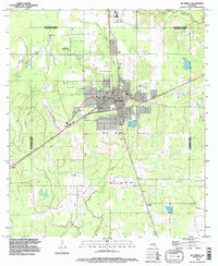
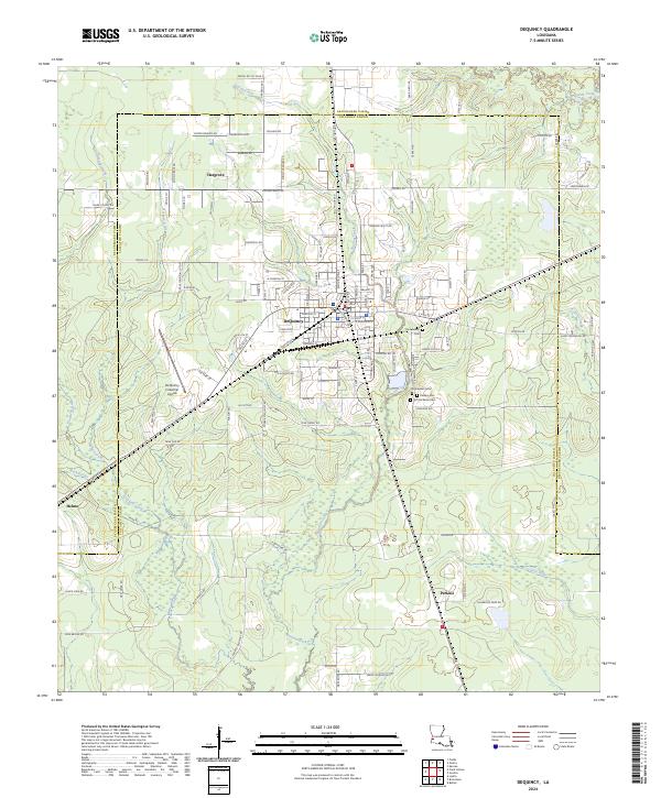 2024 DeQuincy2024 Print · USGSDeQuincy and its surrounding timberlands are documented here in recent detail, showing the intersection of Calcasieu Parish and Beauregard Parish. Family history researchers can trace local roots at Rigmaiden Cem, Perkins Cem, and the settlement of Hargrove.
End of results
Showing maps 1-12 of 12
Top cities near DeQuincy
Top neighborhoods of DeQuincy
Frequently asked questions
- What are the different types of historical maps available for DeQuincy?
- What is the oldest map of DeQuincy?
- Where can I purchase historical maps of DeQuincy for my home or office?
- Where can I download high-res historical maps of DeQuincy?
- Are there historical topographic maps available for DeQuincy?
- Is there historical aerial imagery available for DeQuincy?
- Where are historical maps of DeQuincy sourced from?