Old Maps of Pine Acres, Louisiana for Academic Research
Study the evolution of Pine Acres with 12 high-resolution historic maps. Whether you're teaching, researching, or modeling changes in land use, these maps provide essential visual documentation of urban, environmental, and geographic change.
- Analyze long-term change: Track patterns in development, transportation, and natural features.
- Ideal for environmental or urban studies: Support academic projects with primary historical map data.
- Use in the classroom or lab: Educators and researchers rely on these maps to bring historical context to life.
These maps are a powerful tool for teaching, research, and visualizing how Pine Acres has changed over the decades.
Pine Acres, LA maps
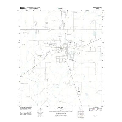
(12)- 1947 Map of DeQuincy
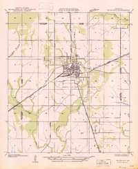 1947 DeQuincy1947 Print · USGSDe Quincy functioned as a vital rail crossroads in the late 1930s, situated at the meeting point of the Calcasieu and Beauregard parishes. Genealogists and historians can trace old homesteads near Rigmaiden Cem and the rail-side settlements at Sompayrac and Perkins.
 - 1952 Map of Lake Charles
 1952 Lake Charles1952 Print · USGSSouthwest Louisiana is captured here in the mid-fifties, showing a landscape defined by the rise of the petrochemical industry and deep-water navigation. Researchers can trace family roots through numerous small-town settlements and oil developments like Nibletts Bluff, the Lockport Oil Field, and Starks.
 - 1954 Map of Lake Charles, 1964 Print
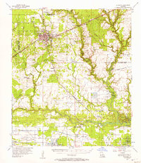
 1954 Lake Charles1964 Print · USGSSouthwest Louisiana in the mid-fifties is defined by its massive petroleum industry and its complex network of bayous and rail lines. Researchers can trace the development of the Sulphur Mines Oil Field or locate historic settlements like Longville and De Quincy.3 unique versions available
 - 1956 Map of De Quincy, 1957 Print
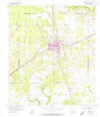 1956 De Quincy1957 Print · USGSMid-century Calcasieu Parish is captured here at the intersection of heavy rail and the emerging oil industry. Genealogists and historians can trace the growth of De Quincy through its Ward Sch and High Sch or locate family sites near Humphries Cem and Perkins.3 unique versions available
 - 1956 Map of De Quincy, 1957 Print
 1956 De Quincy1957 Print · USGSCalcasieu Parish comes alive in the mid-1950s as a bustling crossroads of rail, river commerce, and oil extraction. Researchers can trace the heritage of local families at Rigmaiden Cemetery, explore the rail junction at De Quincy, and locate rural landmarks like New Hope Church.3 unique versions available
 - 1986 Map of Lake Charles
 1986 Lake Charles1986 Print · USGSThe Louisiana-Texas borderlands are captured here in the mid-1980s, showcasing the industrial growth of the Lake Charles region and its rail-linked satellite towns. Trace the evolution of coastal settlements and family landmarks from Sulphur to the Highland Cem.2 unique versions available
 - 1994 Map of De Quincy, 1996 Print
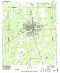 1994 De Quincy1996 Print · USGSCalcasieu Parish in the mid-1990s was a landscape defined by the intersection of rail, timber, and the energy industry. Researchers can trace the layout of De Quincy and locate outlying communities like Hargrove or the resource-rich North De Quincy Oil Field.
 - 2012 Map of DeQuincy, 2012 Print
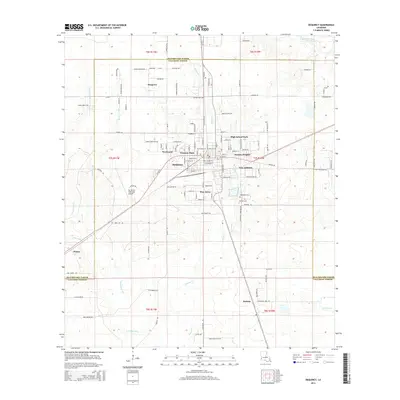
 2012 DeQuincy2012 Print · USGSCovers Pine Acres, including DeQuincy, Helme, and other nearby areas
 - 2015 Map of DeQuincy, 2015 Print
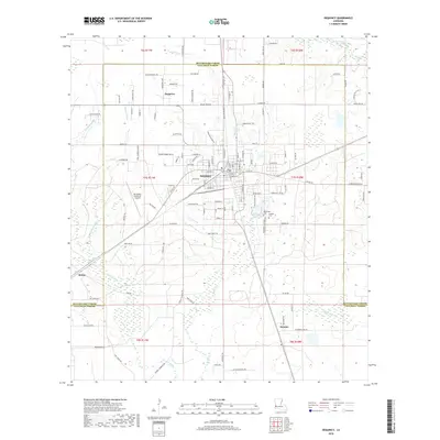
 2015 DeQuincy2015 Print · USGSCovers Pine Acres, including DeQuincy, Helme, and other nearby areas
 - 2018 Map of DeQuincy, 2018 Print
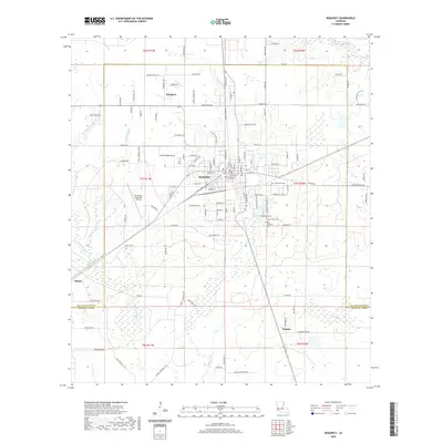
 2018 DeQuincy2018 Print · USGSCovers Pine Acres, including DeQuincy, Helme, and other nearby areas
 - 2020 Map of DeQuincy, 2020 Print
 2020 DeQuincy2020 Print · USGSCovers Pine Acres, including DeQuincy, Helme, and other nearby areas
 - 2024 Map of DeQuincy, 2024 Print
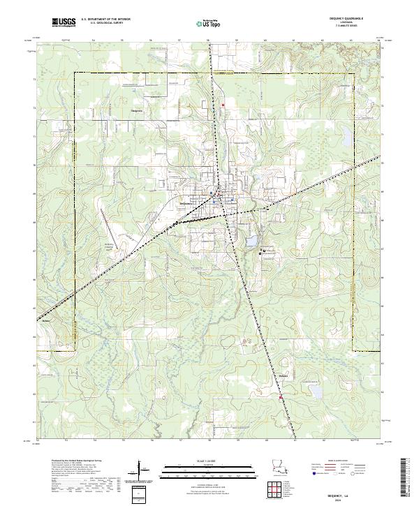 2024 DeQuincy2024 Print · USGSDeQuincy and its surrounding timberlands are documented here in recent detail, showing the intersection of Calcasieu Parish and Beauregard Parish. Family history researchers can trace local roots at Rigmaiden Cem, Perkins Cem, and the settlement of Hargrove.
End of results
Showing maps 1-12 of 12
Top cities near Pine Acres
- Lake Charles historical maps
- Sulphur historical maps
- Westlake historical maps
- Vinton historical maps
- DeQuincy historical maps
Frequently asked questions
- What are the different types of historical maps available for Pine Acres?
- What is the oldest map of Pine Acres?
- Where can I purchase historical maps of Pine Acres for my home or office?
- Where can I download high-res historical maps of Pine Acres?
- Are there historical topographic maps available for Pine Acres?
- Is there historical aerial imagery available for Pine Acres?
- Where are historical maps of Pine Acres sourced from?