Old Maps of Prairieland, Louisiana
Explore 13 old maps of Prairieland, spanning from 1932 to today. These high-resolution historic maps reveal how streets, neighborhoods, landmarks, and natural features evolved over time — perfect for genealogy, metal detecting, research, and local history exploration.
What you can do with these maps:
- See how Prairieland changed over time: Compare historical maps to modern-day views to trace roads, homesites, rail lines & more.
- View detailed metadata: Each map includes creators, publishers, year, scale, and archive source.
- Overlay maps with satellite & LiDAR: Visualize the past alongside modern tools to explore terrain & human change.
- Trusted historical sources: Maps sourced from the USGS, Library of Congress, and other archives.
- Access maps your way: View online, download high-res files, or order prints for personal or research use.
Start exploring old maps of Prairieland to uncover forgotten places, hidden landmarks, and the deep history beneath your feet.
Prairieland, LA maps
(13)- 1932 Map of Lake Charles SW
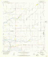
 1932 Lake Charles SW1932 Print · USGSIn the early 1930s, this portion of southern Louisiana was a landscape defined by the meeting of coastal wetlands and rural prairie. Genealogists and local historians can locate early educational and religious centers like Grand Lake Sch and Prairieland Community Ch near the banks of Black Bayou.
 - 1942 Map of Lake Charles
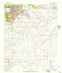
 1942 Lake Charles1942 Print · USGSLake Charles and the surrounding coastal prairies are captured here in the early 1940s, just as modern aviation and industrial shipping were reshaping the parish. Genealogists can locate family landmarks like Higgins School, Sweet Lake Church, and the neighborhood of Goosport.
 - 1952 Map of Lake Charles
 1952 Lake Charles1952 Print · USGSSouthwest Louisiana is captured here in the mid-fifties, showing a landscape defined by the rise of the petrochemical industry and deep-water navigation. Researchers can trace family roots through numerous small-town settlements and oil developments like Nibletts Bluff, the Lockport Oil Field, and Starks.
 - 1954 Map of Lake Charles, 1964 Print
 1954 Lake Charles1964 Print · USGSSouthwest Louisiana in the mid-fifties is defined by its massive petroleum industry and its complex network of bayous and rail lines. Researchers can trace the development of the Sulphur Mines Oil Field or locate historic settlements like Longville and De Quincy.3 unique versions available
 - 1955 Map of Lake Charles SW, 1956 Print
 1955 Lake Charles SW1956 Print · USGSCoastal prairies and marshlands meet in Calcasieu and Cameron Parishes during the mid-fifties, showing a landscape defined by water and early energy extraction. Researchers can locate family landmarks like Hebert Cem or trace the old routes of Sweet Lake Ferry and Coulée Hippolyte.3 unique versions available
 - 1955 Map of Lake Charles, 1956 Print
 1955 Lake Charles1956 Print · USGSMid-century Lake Charles is shown as a thriving railroad and educational hub before its late-twentieth-century industrial shifts. Researchers can trace family roots through neighborhood schools like Henry Heights Sch or locate ancestors at LeBleu Cem and Highland Cem.3 unique versions available
 - 1986 Map of Lake Charles
 1986 Lake Charles1986 Print · USGSThe Louisiana-Texas borderlands are captured here in the mid-1980s, showcasing the industrial growth of the Lake Charles region and its rail-linked satellite towns. Trace the evolution of coastal settlements and family landmarks from Sulphur to the Highland Cem.2 unique versions available
 - 1998 Map of Lake Charles SW, 2001 Print
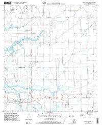 1998 Lake Charles SW2001 Print · USGSCoastal Louisiana at the close of the twentieth century shows a landscape defined by industry and water management across the Calcasieu-Cameron parish line. Trace local history at the Hebert Cem, Grand Lake Sch, and the Oil Field near the Intracoastal Waterway.
 - 2012 Map of Lake Charles SW, 2012 Print
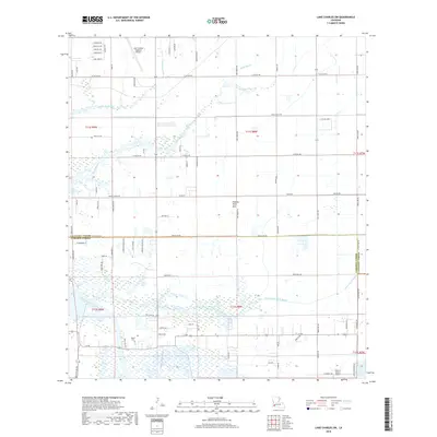
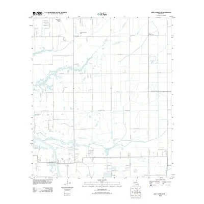 2012 Lake Charles SW2012 Print · USGSCovers Prairieland, including Calcasieu Parish, Cameron Parish, and other nearby areas
 - 2015 Map of Lake Charles SW, 2015 Print
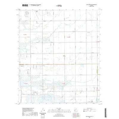
 2015 Lake Charles SW2015 Print · USGSCovers Prairieland, including Calcasieu Parish, Cameron Parish, and other nearby areas
 - 2018 Map of Lake Charles SW, 2018 Print
 2018 Lake Charles SW2018 Print · USGSCovers Prairieland, including Calcasieu Parish, Cameron Parish, and other nearby areas
 - 2020 Map of Lake Charles SW, 2020 Print
 2020 Lake Charles SW2020 Print · USGSCovers Prairieland, including Calcasieu Parish, Cameron Parish, and other nearby areas
 - 2024 Map of Lake Charles SW, 2024 Print
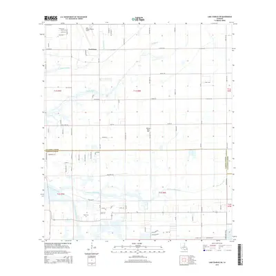
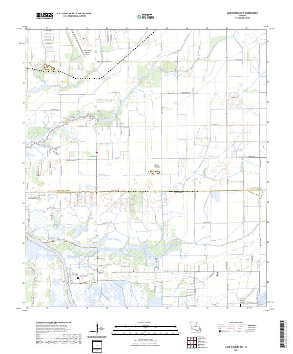 2024 Lake Charles SW2024 Print · USGSThe wetlands of Calcasieu and Cameron Parish are mapped here in the early twenty-first century, showing the industrial Intracoastal Waterway and the Lake Charles Regional Airport. Researchers can trace local landmarks like Friendship Baptist Cem and Plateau Petit Bois.
End of results
Showing maps 1-13 of 13
Top cities near Prairieland
Frequently asked questions
- What are the different types of historical maps available for Prairieland?
- What is the oldest map of Prairieland?
- Where can I purchase historical maps of Prairieland for my home or office?
- Where can I download high-res historical maps of Prairieland?
- Are there historical topographic maps available for Prairieland?
- Is there historical aerial imagery available for Prairieland?
- Where are historical maps of Prairieland sourced from?