2020s Maps of Caldwell Parish, Louisiana
Explore 36 historic maps of Caldwell Parish from the 2020s. These maps offer a rare glimpse into what life looked like during the 2020s — showing old roads, neighborhoods, homes, and landmarks that have changed or disappeared over time.
Whether you're researching your family's past, planning a metal detecting trip, or studying how Caldwell Parish's landscape evolved across the 2020s, these high-resolution maps are a powerful tool for exploring the history of this region.
- Focus on a specific era: All maps on this page are from the 2020s, giving you a focused view of this time period.
- See what’s changed: Compare century-old streets, trails, and buildings to today's modern landscape using overlays and satellite layers.
- Research with precision: Use these maps for genealogy, historical research, land use analysis, or educational projects.
- View, download, or print: Maps are fully viewable online in high resolution, and can be downloaded or printed for your own records.
Start exploring Caldwell Parish's history through authentic maps from the 2020s. This is your window into the past.
Caldwell Parish, LA maps
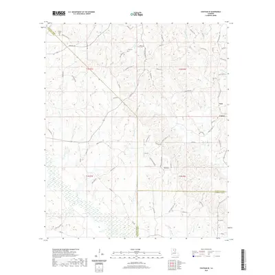
(36)- 2020 Map of Enterprise, 2020 Print
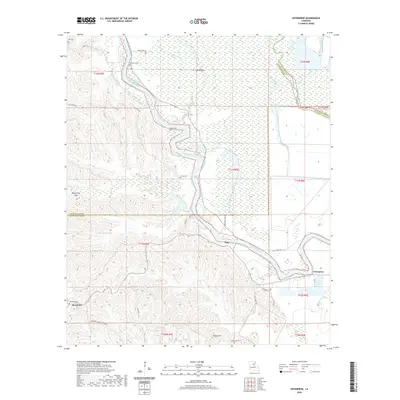 2020 Enterprise2020 Print · USGSCovers Caldwell Parish, including Enterprise, Duty, and other nearby areas
 - 2020 Map of Holum, 2020 Print
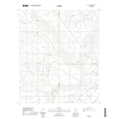
 2020 Holum2020 Print · USGSCovers Caldwell Parish, including Holum, LaSalle Parish, and other nearby areas
 - 2020 Map of Gilleyville, 2020 Print
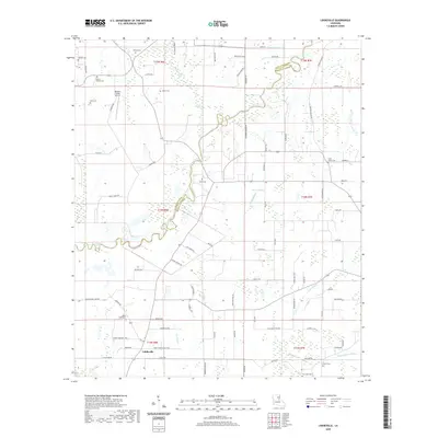
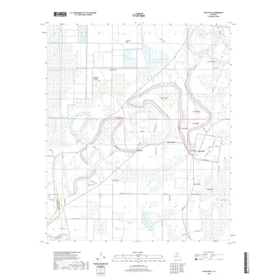 2020 Gilleyville2020 Print · USGSCovers Caldwell Parish, including Buckner, Charlieville, and other nearby areas
 - 2020 Map of Olla East, 2020 Print
 2020 Olla East2020 Print · USGSCovers Caldwell Parish, including Olla, Spaulding, and other nearby areas
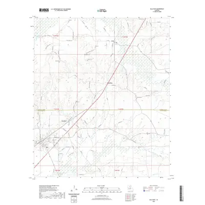
 - 2020 Map of Blankston, 2020 Print
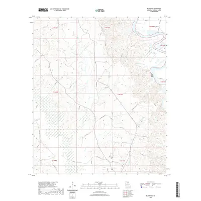 2020 Blankston2020 Print · USGSCovers Caldwell Parish, including Mount Pleasant, Blankston, and other nearby areas
 - 2020 Map of Hebert, 2020 Print
 2020 Hebert2020 Print · USGSCovers Caldwell Parish, including Hebert, Richland Parish, and other nearby areas
 - 2020 Map of Fort Necessity, 2020 Print
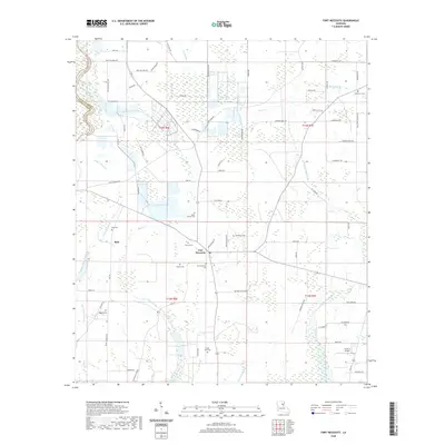 2020 Fort Necessity2020 Print · USGSCovers Caldwell Parish, including Buie, Fort Necessity, and other nearby areas
 - 2020 Map of Liddieville, 2020 Print
 2020 Liddieville2020 Print · USGSCovers Caldwell Parish, including Liddieville, Richland Parish, and other nearby areas
 - 2020 Map of Chatham SE, 2020 Print
 2020 Chatham SE2020 Print · USGSCovers Caldwell Parish, including Anabel, Tama, and other nearby areas
 - 2020 Map of Olla West, 2020 Print
 2020 Olla West2020 Print · USGSCovers Caldwell Parish, including Olla, Urania, and other nearby areas
 - 2020 Map of Vixen, 2020 Print
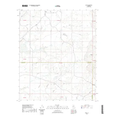
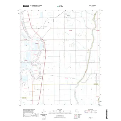
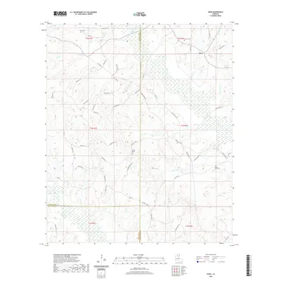 2020 Vixen2020 Print · USGSCovers Caldwell Parish, including Vixen, Jackson Parish, and other nearby areas
 - 2020 Map of Luna, 2020 Print
 2020 Luna2020 Print · USGSCovers Caldwell Parish, including Cypress, Luna, and other nearby areas
 - 2020 Map of Bosco, 2020 Print
 2020 Bosco2020 Print · USGSCovers Caldwell Parish, including Fondale, Cuba, and other nearby areas
 - 2020 Map of Riverton, 2020 Print
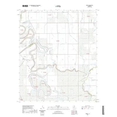
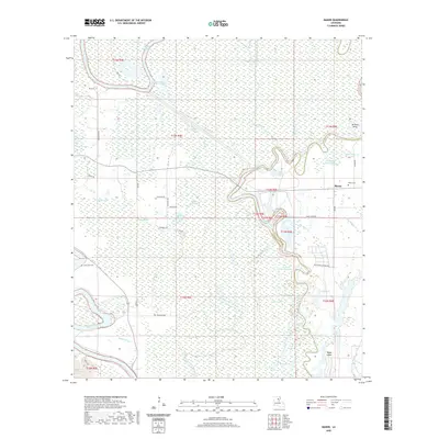
 2020 Riverton2020 Print · USGSCovers Caldwell Parish, including Riverton, Corey, and other nearby areas
 - 2020 Map of Clark, 2020 Print
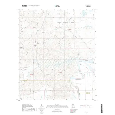
 2020 Clark2020 Print · USGSCovers Caldwell Parish, including Clarks, United States, and other nearby areas
 - 2020 Map of Mason, 2020 Print
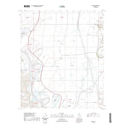
 2020 Mason2020 Print · USGSCovers Caldwell Parish, including Mason, Franklin Parish, and other nearby areas
 - 2020 Map of Cotton Plant, 2020 Print
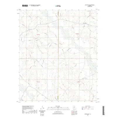 2020 Cotton Plant2020 Print · USGSCovers Caldwell Parish, including Chester, Newport, and other nearby areas
 - 2020 Map of Columbia, 2020 Print
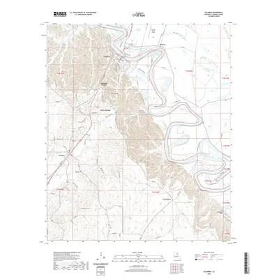 2020 Columbia2020 Print · USGSCovers Caldwell Parish, including Grayson, Columbia, and other nearby areas
 - 2024 Map of Olla East, 2024 Print
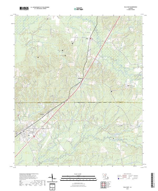 2024 Olla East2024 Print · USGSCaldwell and LaSalle Parishes come together in this contemporary survey of the Olla and Kelly corridors. Genealogists can trace family heritage across a network of rural burial grounds including Saint Joseph Cem, Good Hope Cem, and Blake Cem.
 - 2024 Map of Olla West, 2024 Print
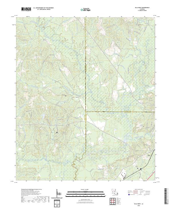 2024 Olla West2024 Print · USGSThe borderlands of Winn, Caldwell, and LaSalle parishes are shown in detail as they appeared in 2024. Genealogists can trace family heritage at Nelson and Adams cemeteries, while following old routes like Jim Tom Mays Rd through the Castor Creek basin.
 - 2024 Map of Enterprise, 2024 Print
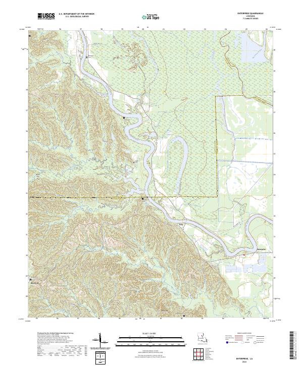 2024 Enterprise2024 Print · USGSCatahoula Parish near the Ouachita River is shown in the 2020s, revealing a landscape defined by river bends and upland ridges. Genealogists can locate family-named sites like Rosefield Cem, McSween Cem, and the small settlements of Duty and Enterprise.
 - 2024 Map of Clark, 2024 Print
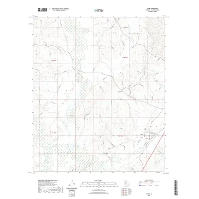
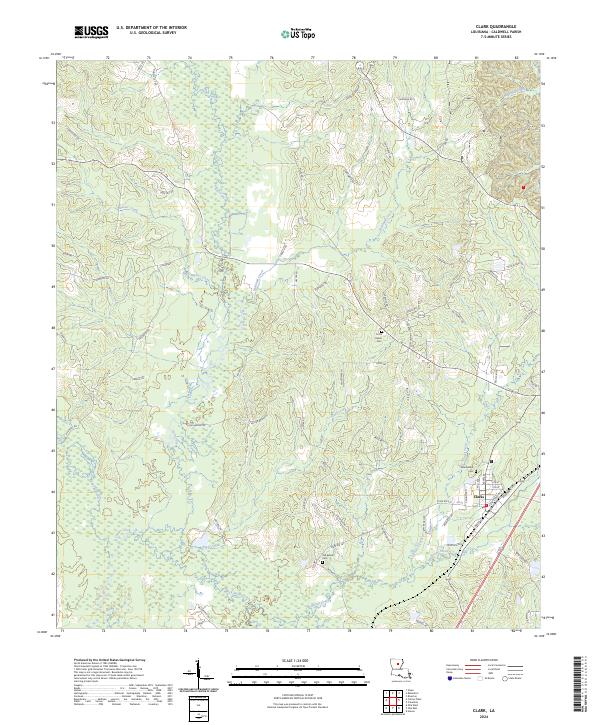 2024 Clark2024 Print · USGSThe piney woods of Caldwell Parish come into focus in this contemporary survey of the Louisiana interior. Genealogists and local historians can locate rural landmarks like Old Bethel Cem and New Bethel Cem or trace the winding path of Castor Creek.
 - 2024 Map of Cotton Plant, 2024 Print
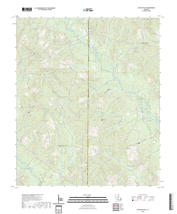 2024 Cotton Plant2024 Print · USGSWinn and Caldwell Parishes are captured here in a detailed modern study of their rural creek bottoms and timberlands. Genealogists can locate several remote burial sites like Old Union Cem, Newsom Cem, and McCarty Cem near the Cotton Plant settlement.
 - 2024 Map of Blankston, 2024 Print
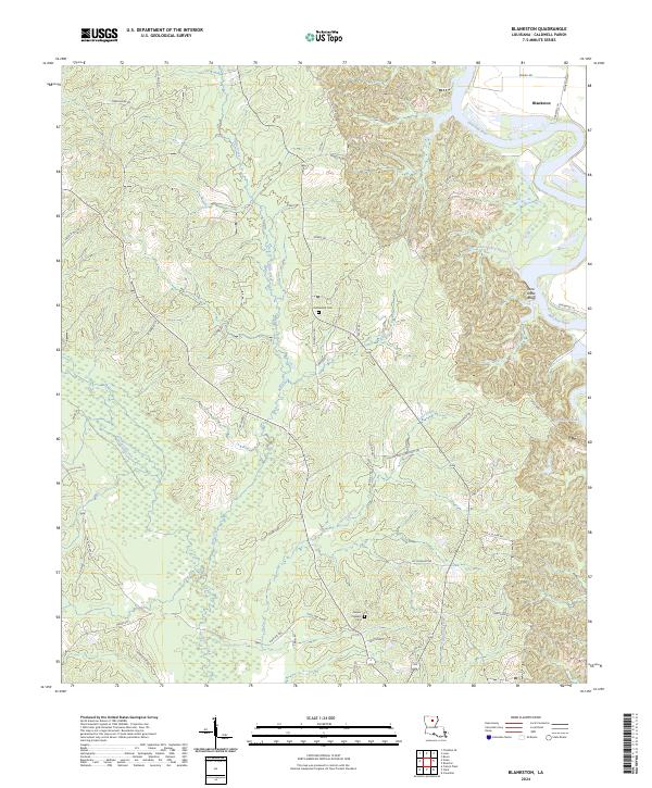 2024 Blankston2024 Print · USGSCaldwell Parish as it appears today remains a landscape of deep river bends and rural crossroads. Researchers can trace land tracts near Blankston or locate family sites at Fellowship Cem and Mount Pleasant Cem along the Ouachita River valley.
 - 2024 Map of Fort Necessity, 2024 Print
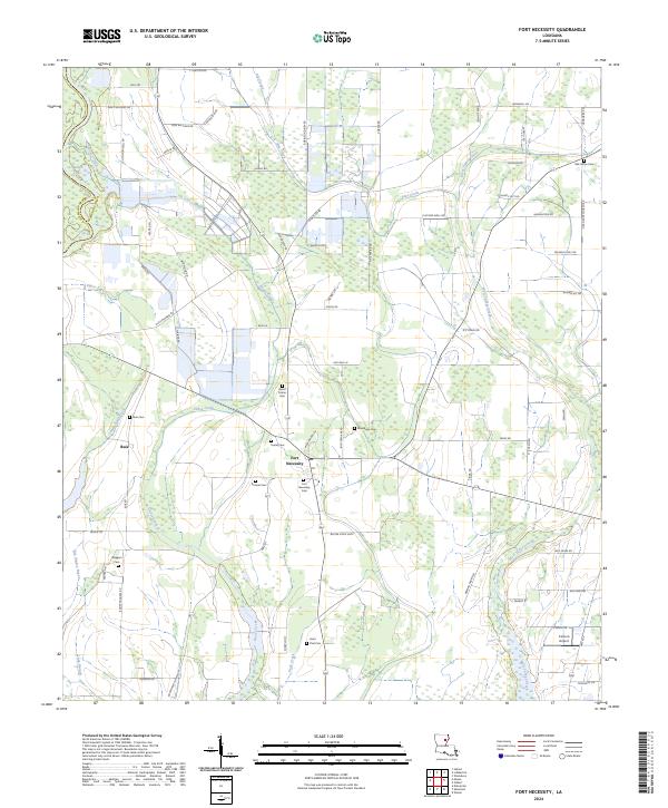 2024 Fort Necessity2024 Print · USGSFranklin Parish agricultural life is captured here in the mid-2020s, showing a landscape of family-named roads and rural settlements. Genealogists can trace local heritage through numerous sites like Boeuf Prairie Cem, Fort Necessity, and the Wiggers Cem.
Showing maps 1-25 of 36
Top cities of Caldwell Parish
Frequently asked questions
- What are the different types of historical maps available for Caldwell Parish?
- What is the oldest map of Caldwell Parish?
- Where can I purchase historical maps of Caldwell Parish for my home or office?
- Where can I download high-res historical maps of Caldwell Parish?
- Are there historical topographic maps available for Caldwell Parish?
- Is there historical aerial imagery available for Caldwell Parish?
- Where are historical maps of Caldwell Parish sourced from?