2010s Maps of Caldwell Parish, Louisiana
Explore 54 historic maps of Caldwell Parish from the 2010s. These maps offer a rare glimpse into what life looked like during the 2010s — showing old roads, neighborhoods, homes, and landmarks that have changed or disappeared over time.
Whether you're researching your family's past, planning a metal detecting trip, or studying how Caldwell Parish's landscape evolved across the 2010s, these high-resolution maps are a powerful tool for exploring the history of this region.
- Focus on a specific era: All maps on this page are from the 2010s, giving you a focused view of this time period.
- See what’s changed: Compare century-old streets, trails, and buildings to today's modern landscape using overlays and satellite layers.
- Research with precision: Use these maps for genealogy, historical research, land use analysis, or educational projects.
- View, download, or print: Maps are fully viewable online in high resolution, and can be downloaded or printed for your own records.
Start exploring Caldwell Parish's history through authentic maps from the 2010s. This is your window into the past.
Caldwell Parish, LA maps
(54)- 2012 Map of Enterprise, 2012 Print
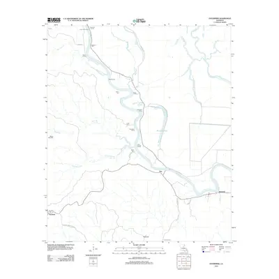 2012 Enterprise2012 Print · USGSCatahoula Parish river life is on full display in the early twenty-first century as the winding Ouachita River dictates the local geography. Genealogists and historians can trace numerous family-named sites and river access points like McSween Cem, Cottonwood Landing, and the settlement of Enterprise.
 - 2012 Map of Clark, 2012 Print
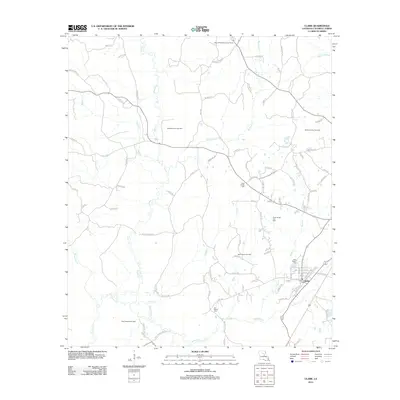 2012 Clark2012 Print · USGSCaldwell Parish at the start of the 2010s reveals a landscape defined by its gas fields and rural crossroads. Genealogists can locate family landmarks like New Bethel Cem and Old Bethel Cem or trace the drainage of Hurricane Cr and Castor Cr.
 - 2012 Map of Vixen, 2012 Print
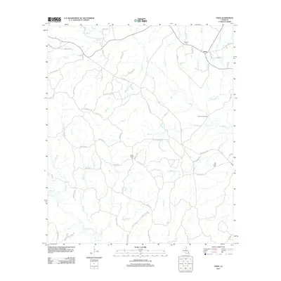 2012 Vixen2012 Print · USGSCaldwell Parish in the early twenty-first century reveals a landscape defined by its complex creek networks and quiet settlements. Researchers can trace family history through local landmarks like Palestine Cem, the Seven Runs Crossing, and the small community of Vixen.
 - 2012 Map of Blankston, 2012 Print
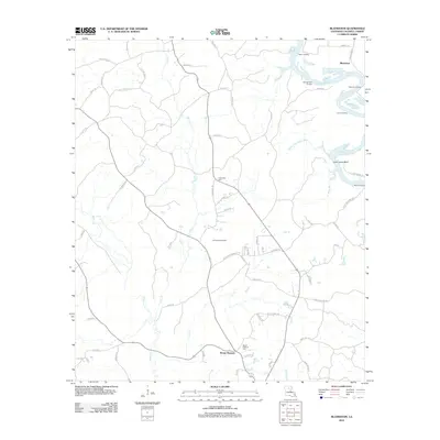 2012 Blankston2012 Print · USGSCaldwell Parish as it appeared in the early 2010s shows a landscape deeply tied to its river landings and rural communities. Researchers can trace family sites at Mount Pleasant Cem or explore the river history of Castor Landing and Waverly Landing.
 - 2012 Map of Chatham SE, 2012 Print
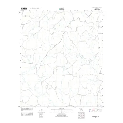 2012 Chatham SE2012 Print · USGSIn the decade before 2012, this pocket of rural Louisiana maintained a dense network of family-named roads and winding bayous. Genealogists can locate family landmarks like Head Cem or trace the industrial footprint of the North Vixen Gas Field near Anabel.
 - 2012 Map of Luna, 2012 Print
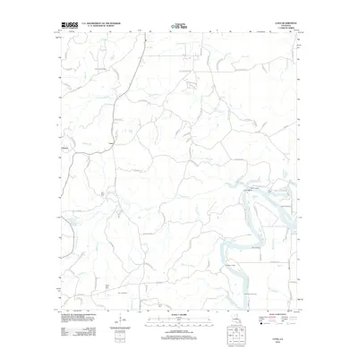 2012 Luna2012 Print · USGSThis part of Ouachita Parish along the river is shown in detail during the early 2010s. Researchers can trace local genealogy and the river economy through numerous riverfront sites like Waco Landing and family cemeteries such as Furlow Cem and Faust Cem.
 - 2012 Map of Cotton Plant, 2012 Print
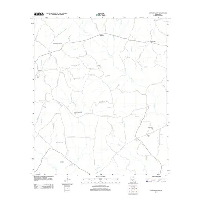 2012 Cotton Plant2012 Print · USGSWinn Parish remains a landscape of energy production and rural community during the early twenty-first century. Researchers can trace family sites and local history through numerous burial grounds like Hebron Cem and landmarks such as the Sardis Church of Gas Field.
 - 2012 Map of Bosco, 2012 Print
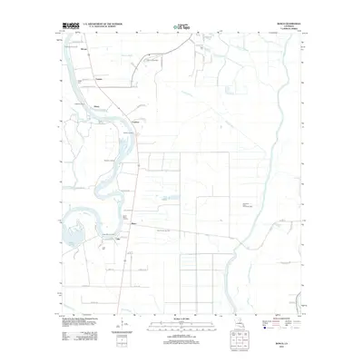 2012 Bosco2012 Print · USGSOuachita Parish as it appeared in 2012 shows a landscape of river landings and energy production. Genealogists and historians can trace the riverside settlements of Bosco, Cuba, and Logtown while locating family landmarks like Faulks Cem and Riser Cem.
 - 2012 Map of Hebert, 2012 Print
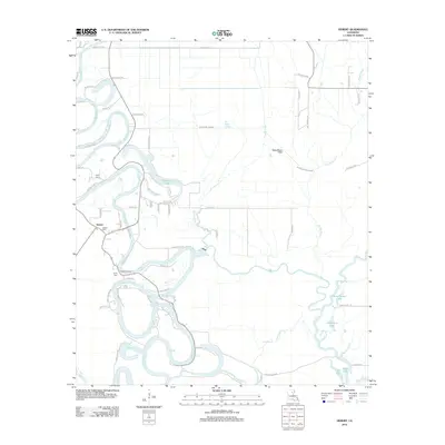 2012 Hebert2012 Print · USGSCaldwell Parish river life is captured here in the early twenty-first century as the Boeuf River winds through the landscape. Researchers can trace family sites at Hebert Cem or explore the river-driven geography of Hebert Landing and Woolen Lake.
 - 2012 Map of Mason, 2012 Print
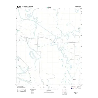 2012 Mason2012 Print · USGSFranklin Parish's riverine landscape is documented here in the early 2010s, showing a territory shaped by the Boeuf River and Ouachita River. Researchers can locate riverside points like Doctor Cole Landing and Fig Tree Landing, or trace family roots at Block Cem.
 - 2012 Map of Fort Necessity, 2012 Print
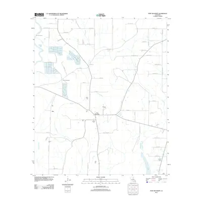 2012 Fort Necessity2012 Print · USGSFranklin Parish at the start of the twenty-first century reveals a deeply rooted landscape of small agricultural settlements and family cemeteries. Genealogists can trace local heritage through sites like Boeuf Prairie Cem, Buie, and the community of Fort Necessity.
 - 2012 Map of Gilleyville, 2012 Print
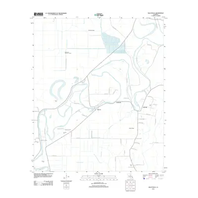 2012 Gilleyville2012 Print · USGSThe Boeuf River country comes into focus in this early twenty-first-century survey of Richland Parish. Genealogists and historians can trace the locations of family landmarks like Landerneau Landing, Buckner Gas Field, and the Pritchard Cem burial grounds.
 - 2012 Map of Liddieville, 2012 Print
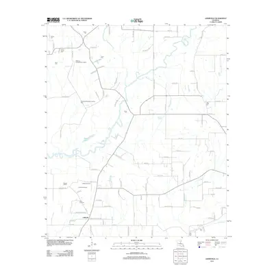 2012 Liddieville2012 Print · USGSFranklin Parish in the early 2010s reveals a rural landscape defined by family-named cemeteries and agricultural aviation. Genealogists and local historians can trace legacy sites like Simms Chapel Cem, Smith Cem, and the Goldmine Plantation Landing Strip.
 - 2012 Map of Olla East, 2012 Print
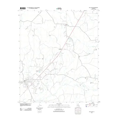 2012 Olla East2012 Print · USGSLaSalle Parish settlement and energy production are front and center in this early 21st-century survey. Researchers can locate numerous local burial grounds like Olla Cem and Good Hope Cem alongside industrial sites such as the Spaulding Gas Field.
 - 2012 Map of Olla West, 2012 Print
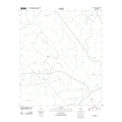 2012 Olla West2012 Print · USGSLaSalle Parish in the early 2010s reveals a landscape shaped by resource extraction and timber management. Genealogists and local historians can trace family ties through rural landmarks like Adams Cem, Whitehead Cem, and the Richland Creek Gas Field.
 - 2012 Map of Holum, 2012 Print
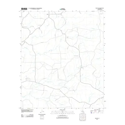 2012 Holum2012 Print · USGSCaldwell Parish at the start of the new millennium reveals a landscape of working timberlands and energy extraction. Genealogists and local historians can locate several family cemeteries, such as Lowe Cem and Little Star Cem, or trace the winding course of Bayou Funny Louis.
 - 2012 Map of Riverton, 2012 Print
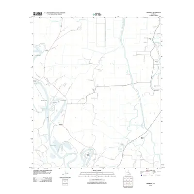 2012 Riverton2012 Print · USGSCaldwell Parish at the start of the 2010s reveals a river-driven landscape where the Ouachita River and Bayou Lafourche converge. Researchers can trace old river access points like Sinope Landing and family burials at Bethany Cem or Duchene Cem.
 - 2012 Map of Columbia, 2012 Print
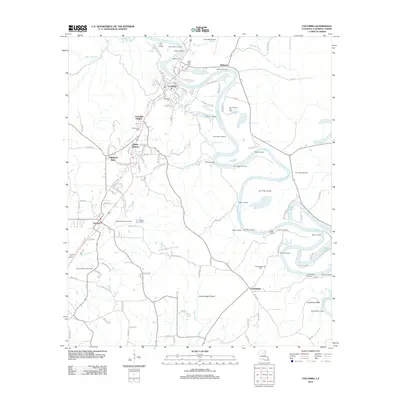 2012 Columbia2012 Print · USGSCaldwell Parish life revolves around the winding Ouachita River and the local gas industry in the early twenty-first century. Researchers can trace family history at Saint Peter Cem or explore numerous historical river access points like Old Ferry Landing and Mindenhall Landing.
 - 2015 Map of Cotton Plant, 2015 Print
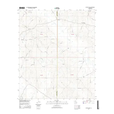 2015 Cotton Plant2015 Print · USGSThe borderlands of Winn and Caldwell Parish are documented here in the mid-2010s, showing a rural landscape of creek-side settlements. Researchers can locate numerous family and community burial sites, including Hebron Cem, Newsom Cem, and Roberts Cem.
 - 2015 Map of Vixen, 2015 Print
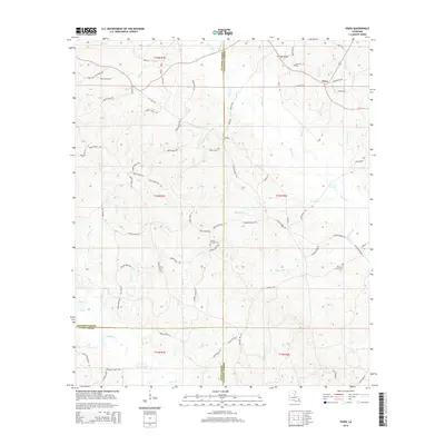 2015 Vixen2015 Print · USGSCaldwell Parish and its neighboring timberlands come into focus in this mid-2010s study of the Louisiana interior. Researchers can trace the heritage of the Vixen area through rural landmarks like Palestine Cem, Hickory Springs Cem, and Hood Mill (Firetower Rd).
 - 2015 Map of Luna, 2015 Print
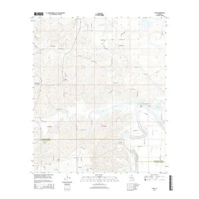 2015 Luna2015 Print · USGSIn the mid-2010s, the Ouachita Parish lowlands remained a world of winding bayous and rural family homesteads. Researchers can locate several local landmarks including Pine Grove Cem, Lake Lafitta, and the river bend at Coco Bend.
 - 2015 Map of Chatham SE, 2015 Print
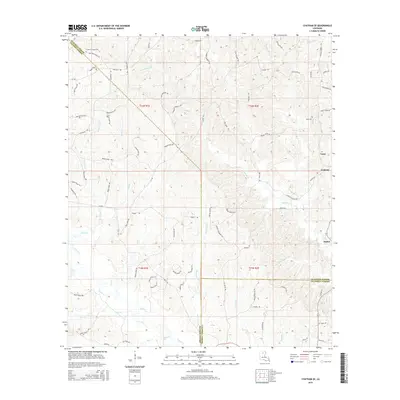 2015 Chatham SE2015 Print · USGSThe rural borderlands of Ouachita, Jackson, and Caldwell Parishes are shown in the mid-2010s, where small timber-country settlements still anchor the landscape. Genealogists can trace family footprints through sites like Phantom Chapel Cem and named thoroughfares such as Jack Crowell Rd.
 - 2015 Map of Clark, 2015 Print
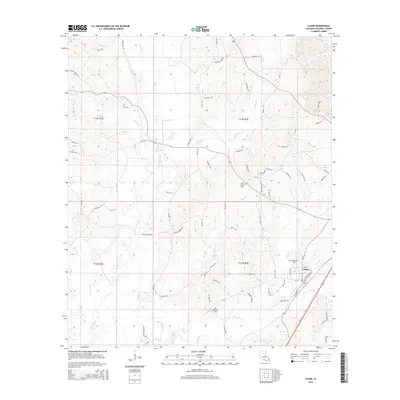 2015 Clark2015 Print · USGSCaldwell Parish is shown here in the mid-2010s, centered on the community of Clarks and the winding course of Castor Creek. Genealogists and local researchers can trace family landmarks and burial sites like Old Bethel Cem and Cross Roads Cem across this timbered landscape.
 - 2015 Map of Bosco, 2015 Print
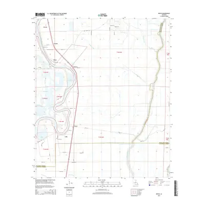 2015 Bosco2015 Print · USGSThe riverfront communities of Ouachita Parish are documented here in the mid-2010s, showing the intersection of waterway life and rural development. Researchers can locate family landmarks such as Faulks Cem and Cuba Cem or trace the old paths of Logtown Loop and Mansfield Rd.
 - 2015 Map of Gilleyville, 2015 Print
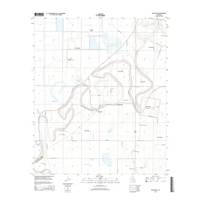 2015 Gilleyville2015 Print · USGSRichland Parish and the Boeuf River corridor are shown here in the mid-2010s, capturing a landscape defined by its waterways and ridges. Genealogists can trace family connections through markers like Landerneau Cem, Buckner, and Pritchard Cem.
Showing maps 1-25 of 54
Top cities of Caldwell Parish
Frequently asked questions
- What are the different types of historical maps available for Caldwell Parish?
- What is the oldest map of Caldwell Parish?
- Where can I purchase historical maps of Caldwell Parish for my home or office?
- Where can I download high-res historical maps of Caldwell Parish?
- Are there historical topographic maps available for Caldwell Parish?
- Is there historical aerial imagery available for Caldwell Parish?
- Where are historical maps of Caldwell Parish sourced from?