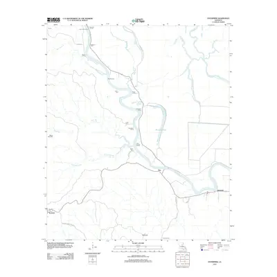
2012 Map of Enterprise
USGS Topo · Published 2012About this map
The Ouachita River defines the central geography of this Catahoula Parish landscape, serving as a corridor for a series of riverbank landings that speak to the region's historical reliance on waterborne transit. From Lower Coles Landing and McSween Landing in the north to Cottonwood Landing and Upper Danville Landing further downstream, these sites suggest an economy tied to the river's path. Inland, the topography transitions from the low-lying wetlands of Horseshoe Lake and Sandy Bayou toward the elevated Bayou Dan Hills and Rocky Hill in the south.
Find a feature on this map
43 named features on this map. Tap any name to fly to it.
Don’t see what you’re looking for? This feature index may not catch every label — zoom into the map to look around manually.
Map Details
Editions of this 2012 Enterprise Map
This is the sole edition of this map. No revisions or reprints were ever made.
Other maps of this area

1939 · Fort Necessity
USGS Topo · 1:62,500

1940 · Columbia
USGS Topo · 1:62,500

1941 · Harrisonburg
USGS Topo · 1:62,500

1953 · Alexandria
USGS Topo · 1:250,000

1953 · Natchez
USGS Topo · 1:250,000

1955 · Jackson
USGS Topo · 1:250,000

1955 · Shreveport
USGS Topo · 1:250,000

1955 · Alexandria
USGS Topo · 1:250,000

1955 · Olla
USGS Topo · 1:62,500

1956 · Shreveport
USGS Topo · 1:250,000