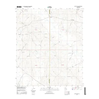
2015 Map of Cotton Plant
USGS Topo · Published 2015About this map
Winn Parish and Caldwell Parish meet along a border defined by drainage patterns and rural settlements in this 2015 study. The landscape is characterized by numerous small tributaries, including Beaucup Cr, Hebron Br, and Big Cr, which carve through the terrain between the small communities of Chester and Cotton Plant. The distribution of cemeteries across the parishes, such as Old Union Cem in the northeast and McCarty Cem near the western edge, suggests long-established family landholdings and small rural congregations. The road network consists largely of parish routes like Hebron Rd and Trowley Road 601, connecting isolated homesteads and local landmarks. This survey provides a precise view of the interface between these two parishes just before the middle of the 2010s.
Find a feature on this map
86 named features on this map. Tap any name to fly to it.
Don’t see what you’re looking for? This feature index may not catch every label — zoom into the map to look around manually.
Map Details
Editions of this 2015 Cotton Plant Map
This is the sole edition of this map. No revisions or reprints were ever made.
Other maps of this area

1940 · Columbia
USGS Topo · 1:62,500

1953 · Alexandria
USGS Topo · 1:250,000

1954 · Sikes
USGS Topo · 1:62,500

1954 · Tullos
USGS Topo · 1:62,500

1955 · Shreveport
USGS Topo · 1:250,000

1955 · Alexandria
USGS Topo · 1:250,000

1955 · Olla
USGS Topo · 1:62,500

1956 · Shreveport
USGS Topo · 1:250,000

1957 · Columbia
USGS Topo · 1:62,500

1984 · Shreveport
USGS Topo · 1:250,000