
1957 Map of Columbia
USGS Topo · Published 1958About this map
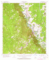
The Ouachita River meanders through the heart of this mid-century survey, defining the industrial and social life of Columbia. Protected by an extensive Levee system, the riverbank is dotted with landmarks like Lock and Dam No 3 Cem and Barr Point. The regional infrastructure of the late 1950s is anchored by the Missouri Pacific railroad, which connects the timber and agricultural hubs of Grayson, Clarks, and Riverton.
Find a feature on this map
67 named features on this map. Tap any name to fly to it.
Don’t see what you’re looking for? This feature index may not catch every label — zoom into the map to look around manually.
Map Details
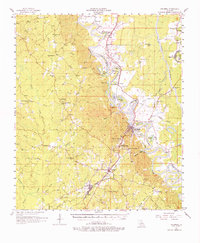
Editions of this 1957 Columbia Map
3 editions found
Other maps of this area

1935 · Alto
USGS Topo · 1:62,500

1939 · Fort Necessity
USGS Topo · 1:62,500

1940 · Monroe
USGS Topo · 1:62,500

1940 · Columbia
USGS Topo · 1:62,500

1941 · Harrisonburg
USGS Topo · 1:62,500

1953 · Chatham
USGS Topo · 1:62,500

1953 · Alexandria
USGS Topo · 1:250,000

1953 · Natchez
USGS Topo · 1:250,000

1954 · Sikes
USGS Topo · 1:62,500

1954 · Tullos
USGS Topo · 1:62,500