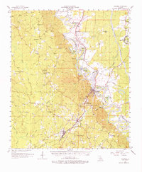
1957 Map of Columbia
USGS Topo · Published 1976About this map
The Ouachita River snakes through Caldwell Parish in this mid-century survey, defining the industrial and civic life of Columbia and its surrounding river-bottom communities. A heavy reliance on rail and water transport is evident as the Missouri Pacific railroad parallels the river's western bank, connecting the timber-rich area around Clarks and Grayson to the parish seat. The map provides a detailed view of local infrastructure just before major landscape shifts, showing the complex levee systems designed to manage seasonal flooding near Horseshoe Lake and Eagle Lake.
Find a feature on this map
72 named features on this map. Tap any name to fly to it.
Don’t see what you’re looking for? This feature index may not catch every label — zoom into the map to look around manually.
Map Details
Editions of this 1957 Columbia Map
3 editions found

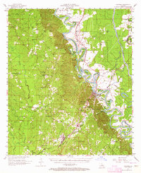
Other maps of this area

1935 · Alto
USGS Topo · 1:62,500

1939 · Fort Necessity
USGS Topo · 1:62,500

1940 · Monroe
USGS Topo · 1:62,500

1940 · Columbia
USGS Topo · 1:62,500

1941 · Harrisonburg
USGS Topo · 1:62,500

1953 · Chatham
USGS Topo · 1:62,500

1953 · Alexandria
USGS Topo · 1:250,000

1953 · Natchez
USGS Topo · 1:250,000

1954 · Sikes
USGS Topo · 1:62,500

1954 · Tullos
USGS Topo · 1:62,500