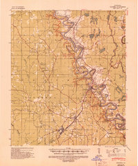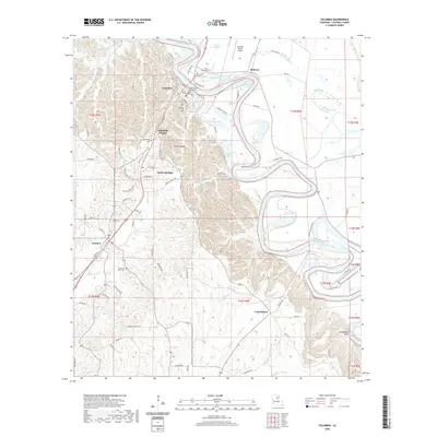
1957 Map of Columbia
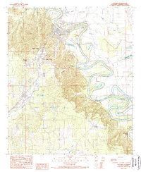
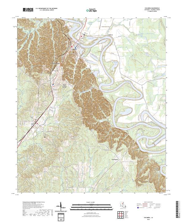
USGS Topo · Published 1964About this map
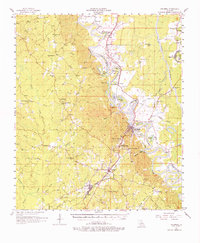
The Ouachita River defines the landscape of Caldwell Parish in this mid-century survey, its winding course creating a complex network of oxbows and backwaters like Horseshoe Lake, Brandon Lake, and Humble Lake. The river-valley economy is anchored by Columbia, while the industrial presence of the Missouri Pacific railroad runs parallel to the waterway, connecting the timber-heavy terrain around Clarks and Grayson. Evidence of much older habitation is marked by the Indian Mound near the eastern bank, contrasting with modern infrastructure like the Micro-wave Tower and Mt Pleasant Lookout Tower.
Find a feature on this map
72 named features on this map. Tap any name to fly to it.
Don’t see what you’re looking for? This feature index may not catch every label — zoom into the map to look around manually.
Map Details
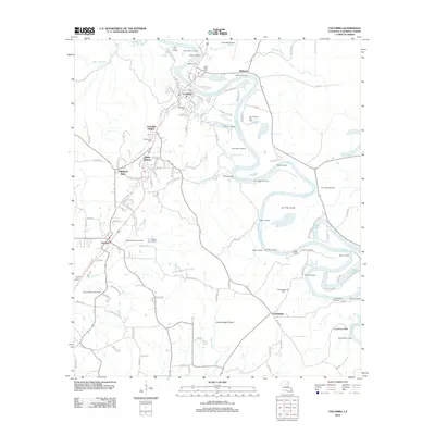
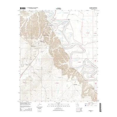
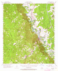
Editions of this 1957 Columbia Map
3 editions found
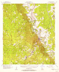
Historical Maps of Clarks Through Time
8 maps found