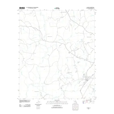
2012 Map of Clark
USGS Topo · Published 2012About this map
Clarks sits at the heart of this Caldwell Parish landscape, defined by a significant extraction economy and a network of rural watercourses. The territory is punctuated by several gas fields, including the Bethel Church Gas Field and Kelly School Gas Field, which trace the industrial subsurface of the region. Local history is anchored by sites such as Old Bethel Cem and New Bethel Cem, alongside the Cross Roads Cem, marking generations of settlement along the winding paths of Castor Cr and Richland Cr.
Find a feature on this map
95 named features on this map. Tap any name to fly to it.
Don’t see what you’re looking for? This feature index may not catch every label — zoom into the map to look around manually.
Map Details
Editions of this 2012 Clark Map
This is the sole edition of this map. No revisions or reprints were ever made.
Other maps of this area

1940 · Columbia
USGS Topo · 1:62,500

1953 · Alexandria
USGS Topo · 1:250,000

1954 · Sikes
USGS Topo · 1:62,500

1954 · Tullos
USGS Topo · 1:62,500

1955 · Shreveport
USGS Topo · 1:250,000

1955 · Alexandria
USGS Topo · 1:250,000

1955 · Olla
USGS Topo · 1:62,500

1956 · Shreveport
USGS Topo · 1:250,000

1957 · Columbia
USGS Topo · 1:62,500

1984 · Shreveport
USGS Topo · 1:250,000