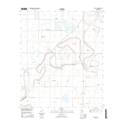
2015 Map of Gilleyville
USGS Topo · Published 2015About this map
The Boeuf River winds through this Richland Parish landscape, defining the boundaries and settlement patterns of central Louisiana. Small rural communities like Buckner, Charlieville, and Gilleyville are established along the river's fertile banks and the surrounding ridges. The terrain is characterized by intricate water systems, including Steep Bayou, Daves Bayou, and Persimmon Slough, which feed into the area's sloughs and basins.
Find a feature on this map
59 named features on this map. Tap any name to fly to it.
Don’t see what you’re looking for? This feature index may not catch every label — zoom into the map to look around manually.
Map Details
Editions of this 2015 Gilleyville Map
This is the sole edition of this map. No revisions or reprints were ever made.
Other maps of this area

1935 · Alto
USGS Topo · 1:62,500

1939 · Fort Necessity
USGS Topo · 1:62,500

1940 · Monroe
USGS Topo · 1:62,500

1940 · Columbia
USGS Topo · 1:62,500

1955 · Jackson
USGS Topo · 1:250,000

1955 · Shreveport
USGS Topo · 1:250,000

1956 · Shreveport
USGS Topo · 1:250,000

1957 · Columbia
USGS Topo · 1:62,500

1957 · Mangham
USGS Topo · 1:62,500

1957 · Monroe South
USGS Topo · 1:24,000