
1957 Map of Monroe South
USGS Topo · Published 1958About this map
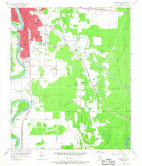
The Ouachita River serves as the central artery for this mid-century survey, dividing the growing urban centers of West Monroe and Monroe. The landscape transitions from dense city blocks and industrial sites like Lock and Dam No 4 to the sprawling agricultural and swampy lowlands of the east. Navigational and rail infrastructure is prominent, with the Illinois Central and Missouri Pacific lines anchoring the local economy. Educational and social institutions are densely mapped, including several specialized sites such as the Louisiana Training Institute, Conway Hospital, and the Detention Home.
Find a feature on this map
42 named features on this map. Tap any name to fly to it.
Don’t see what you’re looking for? This feature index may not catch every label — zoom into the map to look around manually.
Map Details
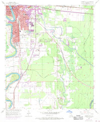
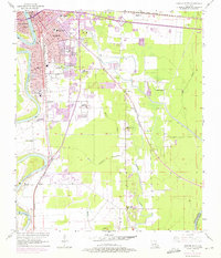
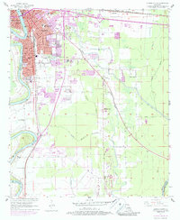
Editions of this 1957 Monroe South Map
5 editions found
Other maps of this area

1935 · Collinston
USGS Topo · 1:62,500

1935 · Alto
USGS Topo · 1:62,500

1935 · Drew
USGS Topo · 1:62,500

1940 · Monroe
USGS Topo · 1:62,500

1955 · Jackson
USGS Topo · 1:250,000

1955 · Shreveport
USGS Topo · 1:250,000

1956 · Shreveport
USGS Topo · 1:250,000

1957 · Monroe North
USGS Topo · 1:62,500

1957 · West Monroe North
USGS Topo · 1:24,000

1957 · Mangham
USGS Topo · 1:62,500