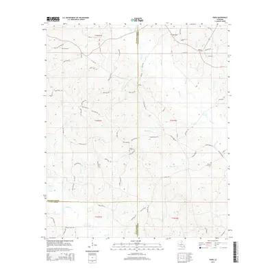
2015 Map of Vixen
USGS Topo · Published 2015About this map
The Vixen community lies at the crossroads of northern Louisiana's creek-fed timberlands, situated near the meeting point of Jackson, Caldwell, and Winn Parishes. This landscape is defined by an intricate network of waterways, including Castor Cr and Bear Cr, which carve through the terrain and influence the layout of local parish roads. The map reveals a dispersed settlement pattern centered around small cemeteries and rural landmarks like Hood Mill (Firetower Rd), reflecting the area's long-standing reliance on forestry and small-scale agriculture. Genealogists can identify key burial sites such as Palestine Cem, Hickory Springs Cem, and the Old New Church Cem, which serve as physical anchors for family histories in this part of the state. The southern reaches are marked by the winding path of Beaucoup Cr, illustrating the drainage patterns that shaped the early development of these rural parishes.
Find a feature on this map
76 named features on this map. Tap any name to fly to it.
Don’t see what you’re looking for? This feature index may not catch every label — zoom into the map to look around manually.
Map Details
Editions of this 2015 Vixen Map
This is the sole edition of this map. No revisions or reprints were ever made.
Other maps of this area

1940 · Monroe
USGS Topo · 1:62,500

1940 · Columbia
USGS Topo · 1:62,500

1953 · Chatham
USGS Topo · 1:62,500

1954 · Sikes
USGS Topo · 1:62,500

1955 · Shreveport
USGS Topo · 1:250,000

1956 · Shreveport
USGS Topo · 1:250,000

1957 · Columbia
USGS Topo · 1:62,500

1957 · Monroe South
USGS Topo · 1:62,500

1982 · Chatham
USGS Topo · 1:24,000

1982 · Chatham SE
USGS Topo · 1:24,000