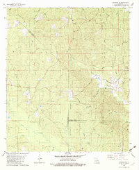
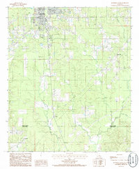
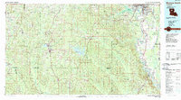
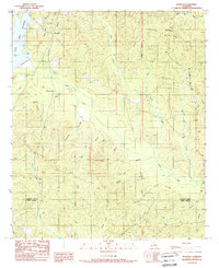
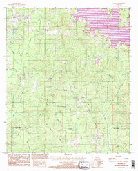
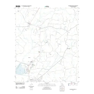
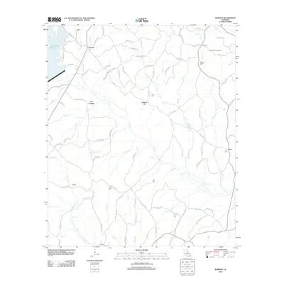
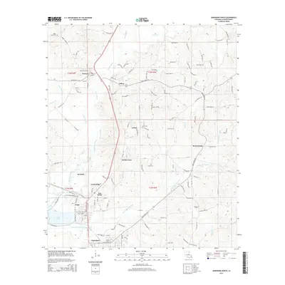
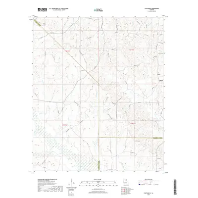
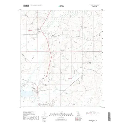
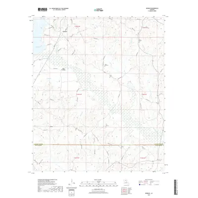
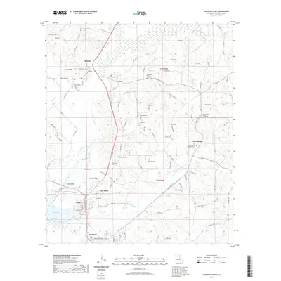
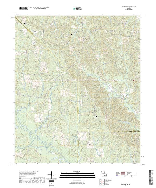
1982 Map of Chatham SE
USGS Topo · Published 1982About this map
The rural intersection of Jackson, Ouachita, and Caldwell Parishes is defined by a dense network of creek drainages and timberland at the start of the 1980s. The Illinois Central Gulf railroad cuts a diagonal path across the landscape, serving as a primary corridor through this wooded region. Settlement is dispersed along a series of local routes like Phantom Chapel Road and Cypress School Road, where community life centers on small landmarks such as Phantom Ch, Walnut Grove Ch, and Mt Olive Church.
Find a feature on this map
35 named features on this map. Tap any name to fly to it.
Don’t see what you’re looking for? This feature index may not catch every label — zoom into the map to look around manually.
Map Details
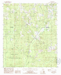
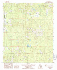
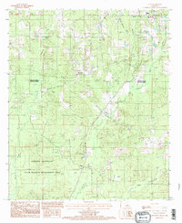
Editions of this 1982 Chatham SE Map
This is the sole edition of this map. No revisions or reprints were ever made.
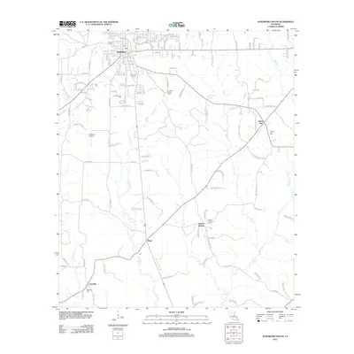
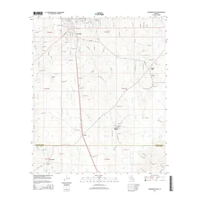
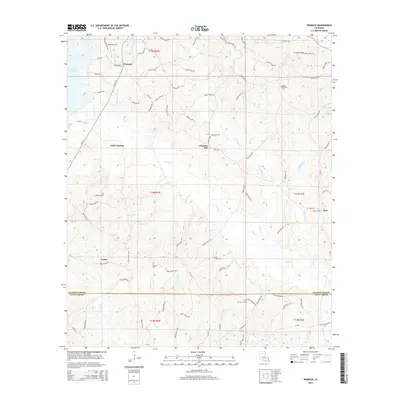
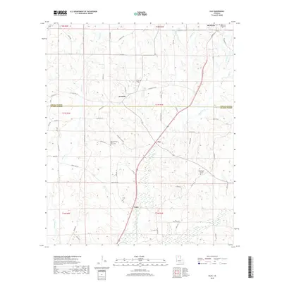
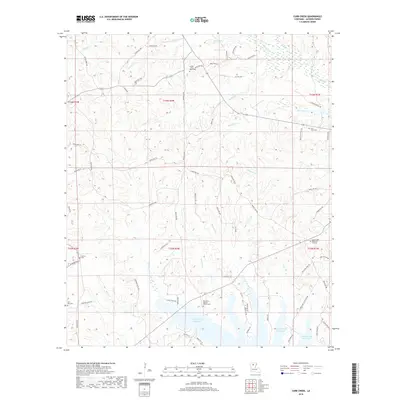
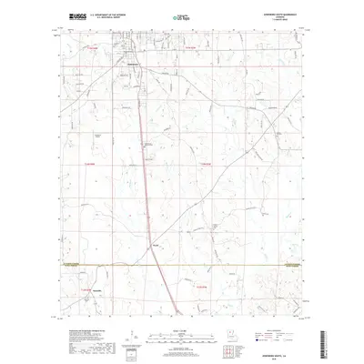
Historical Maps of Anabel Through Time
53 maps found
1982 Chatham SE
Jackson Parish, LA
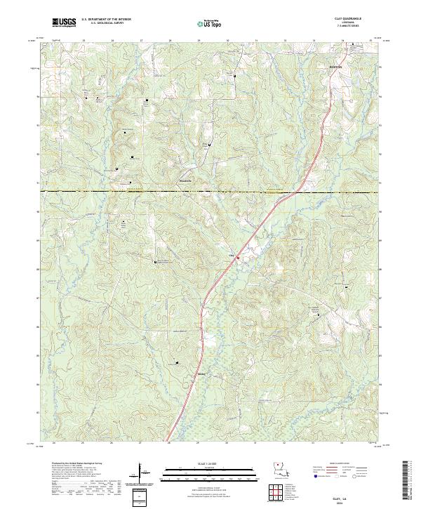
1985 Clay
Jackson Parish, LA
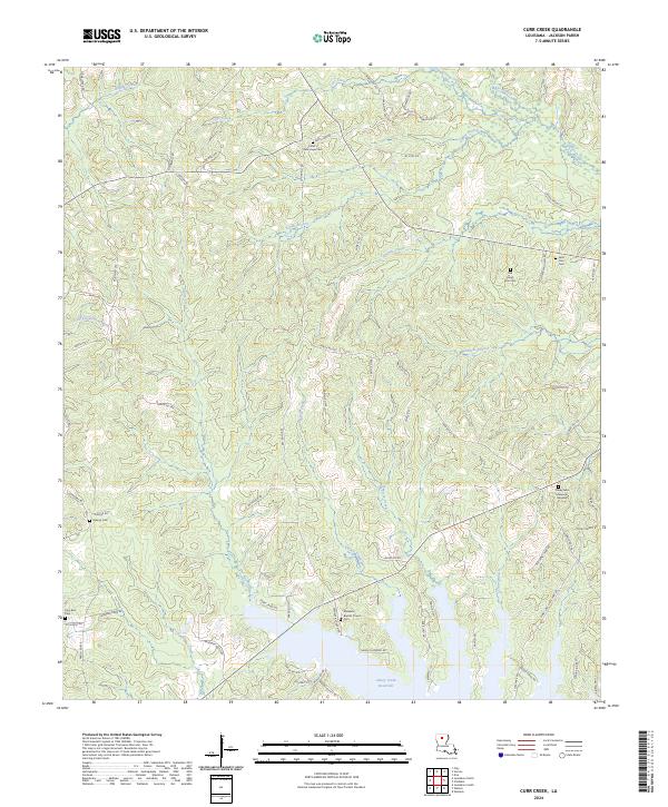
1985 Curr Creek
Jackson Parish, LA
1985 Jonesboro North
Jackson Parish, LA
1985 Jonesboro South
Jackson Parish, LA
1985 Monroe South
Jackson Parish, LA
1985 Vernon
Jackson Parish, LA
1985 Weston
Jackson Parish, LA
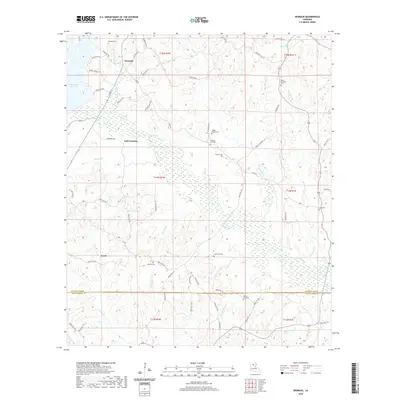
1989 Womack
Jackson Parish, LA
1994 Clay
Jackson Parish, LA
1994 Curr Creek
Jackson Parish, LA
1994 Jonesboro South
Jackson Parish, LA
1994 Weston
Jackson Parish, LA
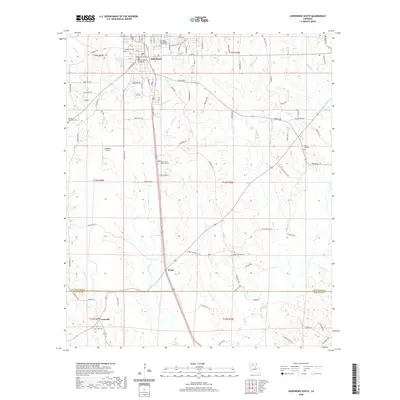
2012 Chatham SE
Jackson Parish, LA
2012 Clay
Jackson Parish, LA
2012 Curr Creek
Jackson Parish, LA
2012 Jonesboro North
Jackson Parish, LA
2012 Jonesboro South
Jackson Parish, LA
2012 Vernon
Jackson Parish, LA
2012 Weston
Jackson Parish, LA
2012 Womack
Jackson Parish, LA
2015 Chatham SE
Jackson Parish, LA
2015 Clay
Jackson Parish, LA
2015 Curr Creek
Jackson Parish, LA
2015 Jonesboro North
Jackson Parish, LA
2015 Jonesboro South
Jackson Parish, LA
2015 Vernon
Jackson Parish, LA
2015 Weston
Jackson Parish, LA
2015 Womack
Jackson Parish, LA
2018 Chatham SE
Jackson Parish, LA
2018 Clay
Jackson Parish, LA
2018 Curr Creek
Jackson Parish, LA
2018 Jonesboro North
Jackson Parish, LA
2018 Jonesboro South
Jackson Parish, LA
2018 Vernon
Jackson Parish, LA
2018 Weston
Jackson Parish, LA
2018 Womack
Jackson Parish, LA
2020 Chatham SE
Jackson Parish, LA
2020 Clay
Jackson Parish, LA
2020 Curr Creek
Jackson Parish, LA
2020 Jonesboro North
Jackson Parish, LA
2020 Jonesboro South
Jackson Parish, LA
2020 Vernon
Jackson Parish, LA
2020 Weston
Jackson Parish, LA
2020 Womack
Jackson Parish, LA
2024 Chatham SE
Jackson Parish, LA
2024 Clay
Jackson Parish, LA
2024 Curr Creek
Jackson Parish, LA
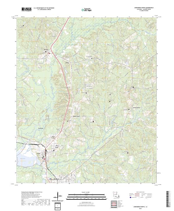
2024 Jonesboro North
Jackson Parish, LA
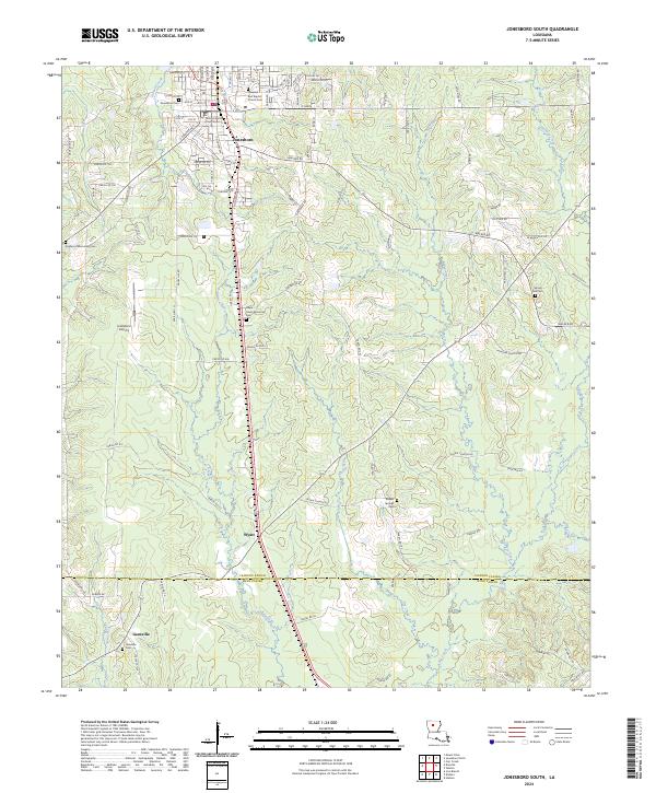
2024 Jonesboro South
Jackson Parish, LA
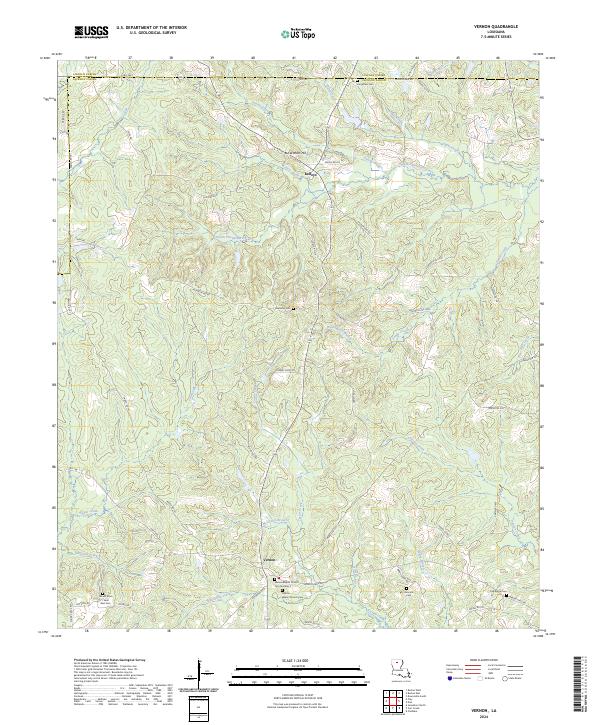
2024 Vernon
Jackson Parish, LA
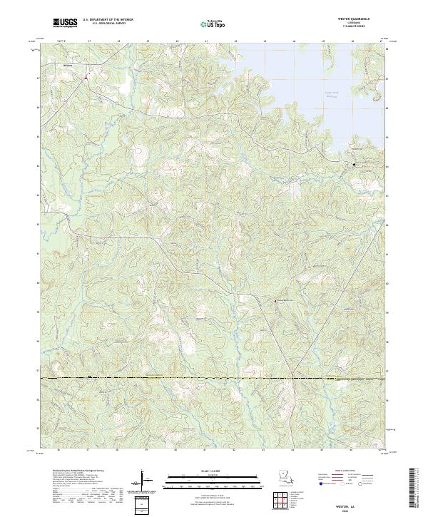
2024 Weston
Jackson Parish, LA
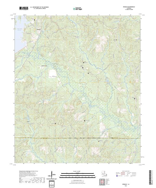
2024 Womack
Jackson Parish, LA