Old Maps of Anabel, Louisiana
Explore 11 old maps of Anabel, spanning from 1953 to today. These high-resolution historic maps reveal how streets, neighborhoods, landmarks, and natural features evolved over time — perfect for genealogy, metal detecting, research, and local history exploration.
What you can do with these maps:
- See how Anabel changed over time: Compare historical maps to modern-day views to trace roads, homesites, rail lines & more.
- View detailed metadata: Each map includes creators, publishers, year, scale, and archive source.
- Overlay maps with satellite & LiDAR: Visualize the past alongside modern tools to explore terrain & human change.
- Trusted historical sources: Maps sourced from the USGS, Library of Congress, and other archives.
- Access maps your way: View online, download high-res files, or order prints for personal or research use.
Start exploring old maps of Anabel to uncover forgotten places, hidden landmarks, and the deep history beneath your feet.
Anabel, LA maps
(11)- 1953 Map of Chatham, 1954 Print
 1953 Chatham1954 Print · USGSLouisiana's piney hills and creek bottoms are meticulously detailed here in the early fifties, showing a network of rural parishes. Researchers can locate family landmarks like Mt Moriah Cem, the settlement of Indian Village, and the Old Railroad Grade.3 unique versions available
 - 1955 Map of Shreveport
 1955 Shreveport1955 Print · USGSNorthern Louisiana in the mid-fifties is captured here as a landscape of military bases, vast oil fields, and burgeoning college towns. Genealogists and historians can trace the rail-and-river economy through the Monroe Gas Field, Grambling College, and Barksdale Air Force Base.3 unique versions available
 - 1956 Map of Shreveport
 1956 Shreveport1956 Print · USGSNorthern Louisiana during the mid-fifties presents a complex landscape of booming oil fields and strategic military installations. Genealogists and historians can trace the infrastructure of the Monroe Gas Field and family-named locales from Cotton Valley to Jonesboro.
 - 1982 Map of Chatham SE
 1982 Chatham SE1982 Print · USGSThe rural borderlands of Jackson, Ouachita, and Caldwell Parishes come into focus during the early eighties as a landscape of timber and rail. Researchers can trace family-named routes like Sam Brown Road and locate rural landmarks including Phantom Ch and Head Cem.
 - 1984 Map of Shreveport
 1984 Shreveport1984 Print · USGSNorthern Louisiana at the peak of the 1980s reveals a landscape of massive water management projects and Cold War military hubs. Trace the rail lines of the Kansas City Southern Ry past Barksdale Air Force Base and the high ground of Driskill Mountain.2 unique versions available
 - 1985 Map of Monroe South
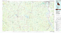 1985 Monroe South1985 Print · USGSNorth Central Louisiana in the mid-1980s was a hub of timber production and rail transport spanning from the Dugdemona River to the Ouachita valley. Family researchers and historians can trace the rail lines of the Midsouth Railroad through Jonesboro or find local landmarks like Mineral Springs and Punkin Center.2 unique versions available
 - 2012 Map of Chatham SE, 2012 Print
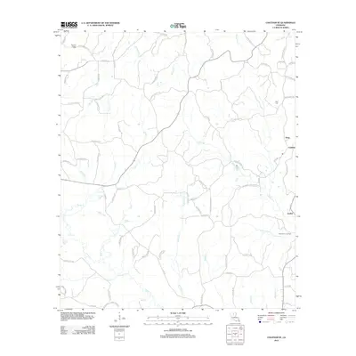 2012 Chatham SE2012 Print · USGSIn the decade before 2012, this pocket of rural Louisiana maintained a dense network of family-named roads and winding bayous. Genealogists can locate family landmarks like Head Cem or trace the industrial footprint of the North Vixen Gas Field near Anabel.
 - 2015 Map of Chatham SE, 2015 Print
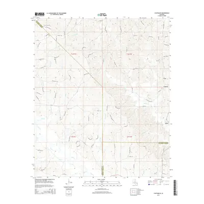 2015 Chatham SE2015 Print · USGSThe rural borderlands of Ouachita, Jackson, and Caldwell Parishes are shown in the mid-2010s, where small timber-country settlements still anchor the landscape. Genealogists can trace family footprints through sites like Phantom Chapel Cem and named thoroughfares such as Jack Crowell Rd.
 - 2018 Map of Chatham SE, 2018 Print
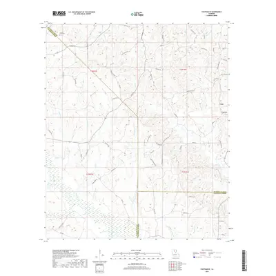 2018 Chatham SE2018 Print · USGSNorth Louisiana in the twenty-first century remains a landscape of family-named roads and quiet watercourses. Genealogists and local historians can trace community roots at Frantom Chapel Cem, Head Cem, or along the banks of Bayou Lapine.
 - 2020 Map of Chatham SE, 2020 Print
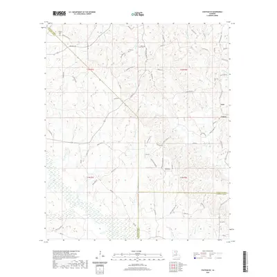 2020 Chatham SE2020 Print · USGSNorth Louisiana's parish boundaries and wetland creek systems are meticulously recorded in this recent survey of the area south of Anabel. Researchers can trace local heritage through numerous burial sites and rural junctions including Mount Olive Church Cem, Tama, and Griffin Cem.
 - 2024 Map of Chatham SE, 2024 Print
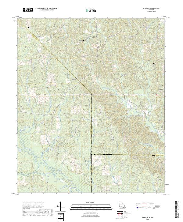 2024 Chatham SE2024 Print · USGSJackson and Ouachita Parishes are shown in the 2020s at the junction of several rural watercourses. Genealogists can trace family footprints through numerous small burial grounds and named roads like Griffin Cem, Head Cem, and Barney Frith Rd.
End of results
Showing maps 1-11 of 11
Top cities near Anabel
- Monroe historical maps
- West Monroe historical maps
- Claiborne historical maps
- Richwood historical maps
- Chatham historical maps
- Columbia historical maps
See more
Frequently asked questions
- What are the different types of historical maps available for Anabel?
- What is the oldest map of Anabel?
- Where can I purchase historical maps of Anabel for my home or office?
- Where can I download high-res historical maps of Anabel?
- Are there historical topographic maps available for Anabel?
- Is there historical aerial imagery available for Anabel?
- Where are historical maps of Anabel sourced from?