
1953 Map of Chatham
USGS Topo · Published 1954About this map
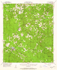
Chatham serves as the primary hub in this mid-century survey of North Louisiana, situated at the intersection of local routes and the Louisiana Meridian. The landscape is defined by its numerous small communities and rural institutions, including Indian Village and Eros. The drainage pattern is complex, with Choudrant Creek and Cheniere Creek winding through the terrain, supporting local landmarks like Chatham Lake and Mills Pond.
Find a feature on this map
82 named features on this map. Tap any name to fly to it.
Don’t see what you’re looking for? This feature index may not catch every label — zoom into the map to look around manually.
Map Details
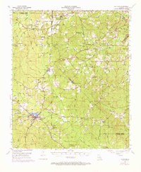
Editions of this 1953 Chatham Map
3 editions found
Other maps of this area

1935 · Drew
USGS Topo · 1:62,500

1940 · Monroe
USGS Topo · 1:62,500

1940 · Columbia
USGS Topo · 1:62,500

1949 · Jonesboro
USGS Topo · 1:62,500

1950 · Jonesboro
USGS Topo · 1:62,500

1950 · Ruston
USGS Topo · 1:62,500

1951 · Ruston
USGS Topo · 1:62,500

1952 · Calhoun
USGS Topo · 1:62,500

1953 · Hodge
USGS Topo · 1:62,500

1954 · Sikes
USGS Topo · 1:62,500