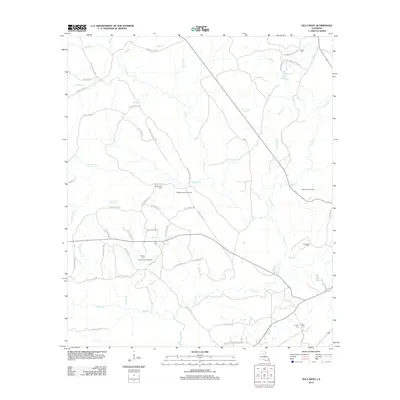
2012 Map of Olla West
USGS Topo · Published 2012About this map
Richland Creek Gas Field and several other extraction sites dominate the landscape of LaSalle Parish in this early 21st-century survey. The rural character of the area is defined by a dense network of timber and access roads, including La Pacific Rd and Jim Tom Mayes Rd, which serve the regional energy and forestry interests. Small, family-named burial sites are scattered throughout the territory, such as Whitehead Cem and Nelson Cem, providing valuable touchpoints for genealogical research in this part of Louisiana.
Find a feature on this map
65 named features on this map. Tap any name to fly to it.
Don’t see what you’re looking for? This feature index may not catch every label — zoom into the map to look around manually.
Map Details
Editions of this 2012 Olla West Map
This is the sole edition of this map. No revisions or reprints were ever made.
Other maps of this area

1940 · Columbia
USGS Topo · 1:62,500

1953 · Alexandria
USGS Topo · 1:250,000

1954 · Sikes
USGS Topo · 1:62,500

1954 · Tullos
USGS Topo · 1:62,500

1955 · Shreveport
USGS Topo · 1:250,000

1955 · Alexandria
USGS Topo · 1:250,000

1955 · Olla
USGS Topo · 1:62,500

1956 · Shreveport
USGS Topo · 1:250,000

1957 · Columbia
USGS Topo · 1:62,500

1984 · Shreveport
USGS Topo · 1:250,000