Old Maps of Gordon, Louisiana for Metal Detecting
Plan your next treasure hunt with 12 historic maps of Gordon. Find old homesites, ghost towns, trails, and gathering spots that may be lost to time — perfect for identifying promising metal detecting locations.
- Locate forgotten sites: Uncover places like long-lost settlements, abandoned rail lines, or gathering spots.
- Plan better hunts: Use map overlays combined with LiDAR or satellite views to narrow in on historically rich areas.
- Made for detectorists: Thousands of hobbyists use these maps to discover relics, coins, and hidden history.
Use these historic maps to boost your research and find new opportunities beneath the surface of Gordon.
Gordon, LA maps
(12)- 1952 Map of Homer, 1953 Print
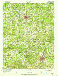 1952 Homer1953 Print · USGSClaiborne Parish in the early fifties shows a landscape transitioning between timber agriculture and a booming petroleum economy. Genealogists can trace family footprints across dozens of rural landmarks like Ward Chapel Sch, Shady Grove Cem, and the extensive Homer Oil Field.4 unique versions available
 - 1955 Map of Shreveport
 1955 Shreveport1955 Print · USGSNorthern Louisiana in the mid-fifties is captured here as a landscape of military bases, vast oil fields, and burgeoning college towns. Genealogists and historians can trace the rail-and-river economy through the Monroe Gas Field, Grambling College, and Barksdale Air Force Base.3 unique versions available
 - 1956 Map of Shreveport
 1956 Shreveport1956 Print · USGSNorthern Louisiana during the mid-fifties presents a complex landscape of booming oil fields and strategic military installations. Genealogists and historians can trace the infrastructure of the Monroe Gas Field and family-named locales from Cotton Valley to Jonesboro.
 - 1984 Map of Shreveport
 1984 Shreveport1984 Print · USGSNorthern Louisiana at the peak of the 1980s reveals a landscape of massive water management projects and Cold War military hubs. Trace the rail lines of the Kansas City Southern Ry past Barksdale Air Force Base and the high ground of Driskill Mountain.2 unique versions available
 - 1986 Map of Haynesville East
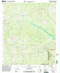
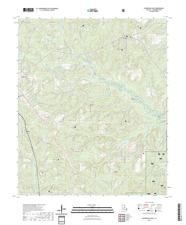
 1986 Haynesville East1986 Print · USGSEastern Claiborne Parish in the mid-1980s was a landscape defined by the thick timber of the Kisatchie National Forest and the winding Middle Fork Bayou D'Arbonne. Researchers can locate old settlements like Gordon and Oaks, or trace the rural geography surrounding the Wade State Correctional Center.
 - 1986 Map of Shreveport North
 1986 Shreveport North1986 Print · USGSNorthern Louisiana in the mid-eighties shows a landscape of expansive river bottoms and growing suburban centers. Genealogists and historians can trace the development of Shreveport, the infrastructure of Barksdale Air Force Base, and rural life in Rocky Mount.2 unique versions available
 - 2003 Map of Haynesville East, 2005 Print
 2003 Haynesville East2005 Print · USGSThe timberlands and oil fields of northern Louisiana come into focus at the turn of the millennium. Genealogists and historians can trace family-named landmarks and rural infrastructure near Haynesville, Gordon, and the winding Middle Fork Bayou D'Arbonne.
 - 2012 Map of Haynesville East, 2012 Print
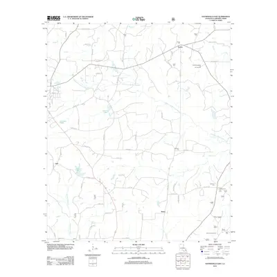 2012 Haynesville East2012 Print · USGSCovers Gordon, including Haynesville, Mahan, and other nearby areas
 - 2015 Map of Haynesville East, 2015 Print
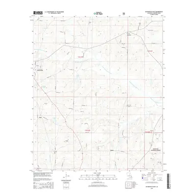 2015 Haynesville East2015 Print · USGSCovers Gordon, including Haynesville, Mahan, and other nearby areas
 - 2018 Map of Haynesville East, 2018 Print
 2018 Haynesville East2018 Print · USGSCovers Gordon, including Haynesville, Mahan, and other nearby areas
 - 2020 Map of Haynesville East, 2020 Print
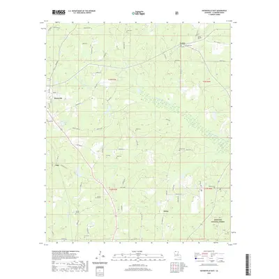 2020 Haynesville East2020 Print · USGSCovers Gordon, including Haynesville, Mahan, and other nearby areas
 - 2024 Map of Haynesville East, 2024 Print
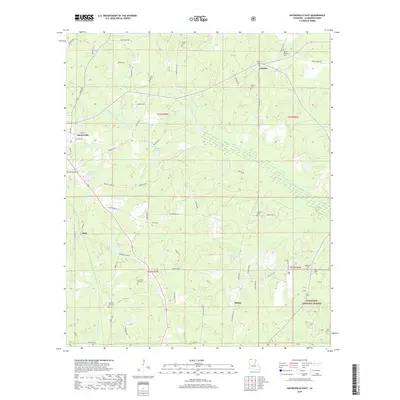
 2024 Haynesville East2024 Print · USGSClaiborne Parish in the early 2020s remains a landscape of managed forests and historic family settlements. Researchers can trace generations of residents through landmarks like Gordon Heritage Cem, the community of Mahan, and the northern edge of Kisatchie National Forest.
End of results
Showing maps 1-12 of 12
Top cities near Gordon
Frequently asked questions
- What are the different types of historical maps available for Gordon?
- What is the oldest map of Gordon?
- Where can I purchase historical maps of Gordon for my home or office?
- Where can I download high-res historical maps of Gordon?
- Are there historical topographic maps available for Gordon?
- Is there historical aerial imagery available for Gordon?
- Where are historical maps of Gordon sourced from?