Old Maps of De Soto Heights, Louisiana for Hiking & Exploration
Hike through history with 14 historic maps of De Soto Heights. Explore old trails, ghost towns, and forgotten backroads — perfect for outdoor adventurers and local explorers.
- Rediscover forgotten places: Map out old mining camps, roads, and footpaths that no longer exist on modern maps.
- Layer with modern tools: Combine with LiDAR or satellite views to plan hikes through historical terrain.
- Made for exploration: Popular among hikers, overlanders, and local history lovers.
Use these maps to find adventure and explore the hidden past of De Soto Heights.
De Soto Heights, LA maps
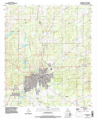
(14)- 1945 Map of Mansfield, 1956 Print
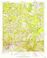 1945 Mansfield1956 Print · USGSDe Soto Parish in the mid-1940s centers on the rail junction at Mansfield just as the local landscape transitioned toward the post-war era. Genealogists can locate family sites at Evergreen Cem, Rock Chapel, and the historic Mansfield Battle Memorial Park.
 - 1947 Map of Mansfield
 1947 Mansfield1947 Print · USGSIn the late 1940s, the De Soto Parish landscape centered on the rail hub of Mansfield and its surrounding plantation lands. Genealogists can trace family roots through numerous rural landmarks like the Lands End Plantation, Rock Chapel, and the Evergreen Cem.
 - 1955 Map of Shreveport
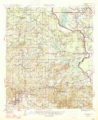
 1955 Shreveport1955 Print · USGSNorthern Louisiana in the mid-fifties is captured here as a landscape of military bases, vast oil fields, and burgeoning college towns. Genealogists and historians can trace the rail-and-river economy through the Monroe Gas Field, Grambling College, and Barksdale Air Force Base.3 unique versions available
 - 1956 Map of Shreveport
 1956 Shreveport1956 Print · USGSNorthern Louisiana during the mid-fifties presents a complex landscape of booming oil fields and strategic military installations. Genealogists and historians can trace the infrastructure of the Monroe Gas Field and family-named locales from Cotton Valley to Jonesboro.
 - 1957 Map of Mansfield, 1958 Print
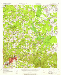 1957 Mansfield1958 Print · USGSDe Soto Parish in the late fifties shows a landscape shaped by rail lines and river bayous before modern development. Genealogists can trace family roots through sites like Slone Cem, the settlement at Naborton, and the grounds of Mansfield Battle Memorial Park.2 unique versions available
 - 1980 Map of Mansfield
 1980 Mansfield1980 Print · USGSDe Soto Parish centers on the rail-served town of Mansfield during the early 1980s, revealing a community balanced between its industrial roots and its preserved heritage. Genealogists and historians can trace family locations at St Elizabeth Cem, Patricio, and the Mansfield Battle Memorial Park.
 - 1984 Map of Shreveport
 1984 Shreveport1984 Print · USGSNorthern Louisiana at the peak of the 1980s reveals a landscape of massive water management projects and Cold War military hubs. Trace the rail lines of the Kansas City Southern Ry past Barksdale Air Force Base and the high ground of Driskill Mountain.2 unique versions available
 - 1985 Map of Shreveport South
 1985 Shreveport South1985 Print · USGSNorthwest Louisiana in the mid-eighties shows a landscape defined by the Red River and a transition from urban centers to deep timberland. Researchers can trace the rail-and-river economy through landmarks like Barksdale Air Force Base, the Sligo Oil and Gas Field, and Lake Bistineau.2 unique versions available
 - 1994 Map of Mansfield, 1997 Print
 1994 Mansfield1997 Print · USGSMansfield and its surroundings are shown in the mid-1990s, blending civil war history with modern De Soto Parish growth. Researchers can locate Mansfield Battle Memorial Park, the Allen Cem, and older communities like New Rockdale.
 - 2012 Map of Mansfield, 2012 Print
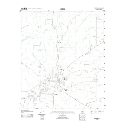 2012 Mansfield2012 Print · USGSCovers De Soto Heights, including Mansfield, South Mansfield, and other nearby areas
 - 2015 Map of Mansfield, 2015 Print
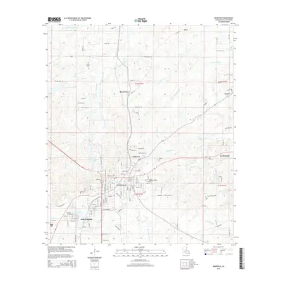 2015 Mansfield2015 Print · USGSCovers De Soto Heights, including Mansfield, South Mansfield, and other nearby areas
 - 2018 Map of Mansfield, 2018 Print
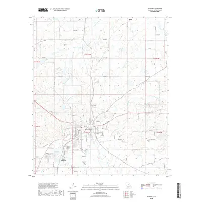 2018 Mansfield2018 Print · USGSCovers De Soto Heights, including Mansfield, South Mansfield, and other nearby areas
 - 2020 Map of Mansfield, 2020 Print
 2020 Mansfield2020 Print · USGSCovers De Soto Heights, including Mansfield, South Mansfield, and other nearby areas
 - 2024 Map of Mansfield, 2024 Print
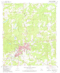
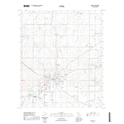
 2024 Mansfield2024 Print · USGSMansfield and South Mansfield serve as the focal point of this De Soto Parish survey, showing the region's civic heart and rural surroundings. Researchers can trace family history through a high density of local burial sites, including Mansfield Cem, Saint Elizabeth Cem, and the DeSoto Parish Courthouse.
End of results
Showing maps 1-14 of 14
Top cities near De Soto Heights
- Mansfield historical maps
- Stonewall historical maps
- Pleasant Hill historical maps
- South Mansfield historical maps
- Huxley historical maps
- Grand Cane historical maps
See more
Frequently asked questions
- What are the different types of historical maps available for De Soto Heights?
- What is the oldest map of De Soto Heights?
- Where can I purchase historical maps of De Soto Heights for my home or office?
- Where can I download high-res historical maps of De Soto Heights?
- Are there historical topographic maps available for De Soto Heights?
- Is there historical aerial imagery available for De Soto Heights?
- Where are historical maps of De Soto Heights sourced from?