2024 Map of Mansfield
USGS Topo · Published 2024About this map
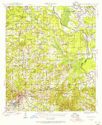
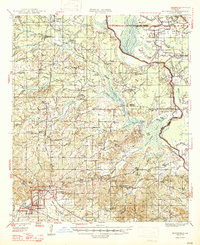
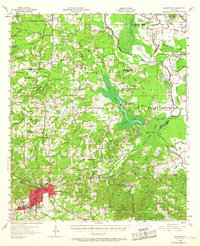
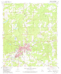
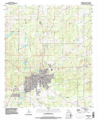
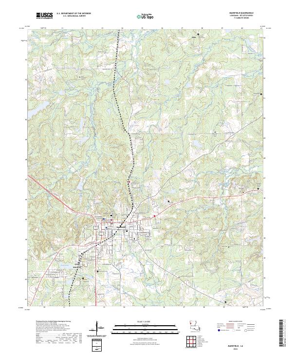
The DeSoto Parish Courthouse anchors the seat of local government in Mansfield, surrounded by a dense network of residential streets and civil landmarks. This area of De Soto Parish is defined by a deep concentration of family and community burial grounds, from the large Mansfield Cem to smaller rural plots like Flores Cem and Moores Chapel Cem. The settlement pattern follows the high ground between numerous drainage systems, including Little Bayou Na Bonchasse and Siphorien Bayou.
Find a feature on this map
103 named features on this map. Tap any name to fly to it.
Don’t see what you’re looking for? This feature index may not catch every label — zoom into the map to look around manually.
Map Details
Editions of this 2024 Mansfield Map
This is the sole edition of this map. No revisions or reprints were ever made.
Historical Maps of De Soto Heights Through Time
6 maps found