Old Maps of Lula, Louisiana for Hiking & Exploration
Hike through history with 11 historic maps of Lula. Explore old trails, ghost towns, and forgotten backroads — perfect for outdoor adventurers and local explorers.
- Rediscover forgotten places: Map out old mining camps, roads, and footpaths that no longer exist on modern maps.
- Layer with modern tools: Combine with LiDAR or satellite views to plan hikes through historical terrain.
- Made for exploration: Popular among hikers, overlanders, and local history lovers.
Use these maps to find adventure and explore the hidden past of Lula.
Lula, LA maps
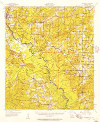
(11)- 1944 Map of Logansport
 1944 Logansport1944 Print · USGSDe Soto and Sabine Parishes are shown in the early 1940s as the Sabine River snakes through a landscape of bayous and forest. Genealogists and local historians can trace family roots through numerous sites like Prude Cem, Morning Glory Sch, and Pauls Store.
 - 1953 Map of Alexandria, 1963 Print
 1953 Alexandria1963 Print · USGSCentral Louisiana during the early fifties is mapped here at the intersection of the piney woods and the Red River valley. Genealogists and historians can trace the rail-and-river network connecting towns like Alexandria, Natchitoches, and the grounds of Camp Beauregard.3 unique versions available
 - 1955 Map of Alexandria
 1955 Alexandria1955 Print · USGSCentral Louisiana in the mid-fifties is a landscape of river-port cities, sprawling timberlands, and massive military reservations. Genealogists and historians can trace the rail networks of the Texas & Pacific RR and locate sites like Camp Polk Military Reservation and Natchitoches.
 - 1956 Map of Logansport, 1957 Print
 1956 Logansport1957 Print · USGSDe Soto Parish and the Texas borderlands come alive in this mid-century survey of the Sabine River valley. Genealogists can trace local landmarks like Pauls Store, Mt Olivet Ch, and the Third Ward Sch across a landscape of rails and river bends.4 unique versions available
 - 1984 Map of Hunter
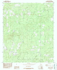 1984 Hunter1984 Print · USGSDe Soto Parish in the early 1980s is defined here by the drainage of Bull Bayou and the historic Las Ormigas Grant Lot No 4. Researchers can trace the legacy of the Old RR Grade and locate local landmarks such as the Cem near Hunter.
 - 1986 Map of Natchitoches
 1986 Natchitoches1986 Print · USGSNorthwestern Louisiana during the mid-eighties shows a landscape shaped by major water projects and timberlands. Researchers can trace historic routes like the Old Spanish Trail or locate rural communities such as Fort Jesup, Fairview Alpha, and Grappes Bluff.2 unique versions available
 - 2012 Map of Hunter, 2012 Print
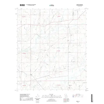
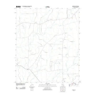 2012 Hunter2012 Print · USGSCovers Lula, including Hunter, DeSoto Parish, and other nearby areas
 - 2015 Map of Hunter, 2015 Print
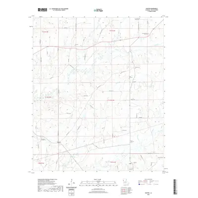
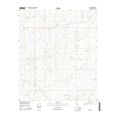 2015 Hunter2015 Print · USGSCovers Lula, including Hunter, DeSoto Parish, and other nearby areas
 - 2018 Map of Hunter, 2018 Print
 2018 Hunter2018 Print · USGSCovers Lula, including Hunter, DeSoto Parish, and other nearby areas
 - 2020 Map of Hunter, 2020 Print
 2020 Hunter2020 Print · USGSCovers Lula, including Hunter, DeSoto Parish, and other nearby areas
 - 2024 Map of Hunter, 2024 Print
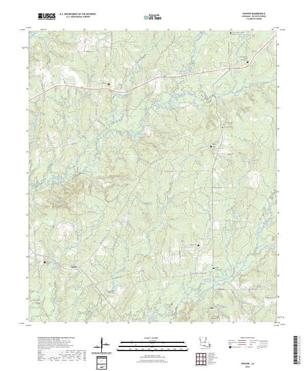 2024 Hunter2024 Print · USGSDe Soto Parish in the modern era maintains its rural character through a series of small settlements and family burial grounds. Researchers can trace ancestral roots at Morning Glory Church Cem, Hunter, and the secluded Barber Cem along the parish bayous.
End of results
Showing maps 1-11 of 11
Top cities near Lula
- Mansfield historical maps
- Zwolle historical maps
- Logansport historical maps
- Converse historical maps
- South Mansfield historical maps
- Huxley historical maps
See more
Frequently asked questions
- What are the different types of historical maps available for Lula?
- What is the oldest map of Lula?
- Where can I purchase historical maps of Lula for my home or office?
- Where can I download high-res historical maps of Lula?
- Are there historical topographic maps available for Lula?
- Is there historical aerial imagery available for Lula?
- Where are historical maps of Lula sourced from?