Old Maps of Old Jefferson, St. George
Explore 18 old maps of Old Jefferson, spanning from 1908 to today. These high-resolution historic maps reveal how streets, neighborhoods, landmarks, and natural features evolved over time — perfect for genealogy, metal detecting, research, and local history exploration.
What you can do with these maps:
- See how Old Jefferson changed over time: Compare historical maps to modern-day views to trace roads, homesites, rail lines & more.
- View detailed metadata: Each map includes creators, publishers, year, scale, and archive source.
- Overlay maps with satellite & LiDAR: Visualize the past alongside modern tools to explore terrain & human change.
- Trusted historical sources: Maps sourced from the USGS, Library of Congress, and other archives.
- Access maps your way: View online, download high-res files, or order prints for personal or research use.
Start exploring old maps of Old Jefferson to uncover forgotten places, hidden landmarks, and the deep history beneath your feet.
Old Jefferson, St. George maps
(18)- 1908 Map of Baton Rouge, 1921 Print
 1908 Baton Rouge1921 Print · USGSBaton Rouge and the surrounding river parishes are captured here at the dawn of the twentieth century, as the railroad network began to rival the river. Genealogists can locate family landmarks like Harelsons Store, Morning Star Church, and the community of Benton's.2 unique versions available
 - 1939 Map of Baton Rouge, 1947 Print
 1939 Baton Rouge1947 Print · USGSBaton Rouge and the Mississippi River transition from a plantation-based economy to a burgeoning rail hub just before World War II. Genealogists and historians can trace the foundations of local communities through landmarks like Poplar Grove Plantation, Rose Hill Ch Sch & Cem, and the riverfront at Port Allen.4 unique versions available
 - 1953 Map of Baton Rouge East, 1954 Print
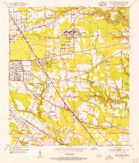 1953 Baton Rouge East1954 Print · USGSEast Baton Rouge Parish at the height of the early fifties growth spurt shows a landscape transitioning from rural parishes to suburban hubs. Genealogists and historians can locate family landmarks such as Kleinpeter Cem or rural centers like St George Ch and the Baton Rouge Engineer Depot.
 - 1954 Map of Baton Rouge, 1974 Print
 1954 Baton Rouge1974 Print · USGSSoutheast Louisiana in the mid-fifties is captured here during a period of transition for its river and rail economies. Researchers can trace the path of the Mississippi River and find landmarks like the Bonnet Carre Spillway and Bayou Plaquemine.2 unique versions available
 - 1956 Map of Baton Rouge
 1956 Baton Rouge1956 Print · USGSSouth Louisiana at the height of the mid-century oil boom shows a landscape of river oxbows and rising industry. Researchers can trace family roots through river towns like Scotlandville or locate early industrial sites and Oil wells near Lake Maurepas.
 - 1961 Map of Baton Rouge, 1966 Print
 1961 Baton Rouge1966 Print · USGSSoutheastern Louisiana in the early sixties remains a landscape of deep river bends and sprawling coastal lakes. Genealogists and historians can trace the rail-and-river economy through landmarks like Free-Nigger Point, Donaldsonville, and the Illinois Central Railroad.
 - 1962 Map of Baton Rouge
 1962 Baton Rouge1962 Print · USGSSouth Louisiana in the early sixties reveals a landscape of river-bend parishes and emerging interstate corridors. Genealogists and historians can trace family roots through historic river towns like Donaldsonville and Plaquemine, or follow the path of the Illinois Central Railroad through the swamp basins.
 - 1963 Map of Baton Rouge East, 1964 Print
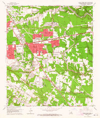 1963 Baton Rouge East1964 Print · USGSBaton Rouge’s eastern expansion is in full swing during the early sixties as residential subdivisions begin to replace old farmland. Genealogists and local historians can trace the development of Broadmoor, the Kleinpeter Cem, and the Downtown Airport.5 unique versions available
 - 1963 Map of Baton Rouge, 1967 Print
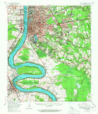 1963 Baton Rouge1967 Print · USGSBaton Rouge and its riverfront suburbs come alive in the early sixties, showing the city's expansion alongside its deep-rooted river culture. Trace the footprints of mid-century life from LSU to the Burtville Oil Field and historic Cottage Plantation.2 unique versions available
 - 1965 Map of Baton Rouge
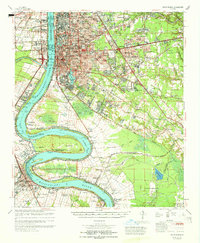 1965 Baton Rouge1965 Print · USGSBaton Rouge and the Mississippi River corridor are captured here in the mid-sixties, showcasing a landscape where urban expansion met deep-rooted river history. Genealogists and historians can trace numerous named estates and settlements, from St Louis Plantation and Morrisonville to Soulouque and Port Allen.
 - 1984 Map of Baton Rouge
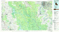 1984 Baton Rouge1984 Print · USGSBaton Rouge and the surrounding river country are captured in the mid-eighties as the industrial corridor met the deep wetlands of the basin. Researchers can trace the winding Bayou Teche, locate family roots in St Martinville, or study the massive Atchafalaya Basin Floodway.2 unique versions available
 - 1992 Map of Baton Rouge East
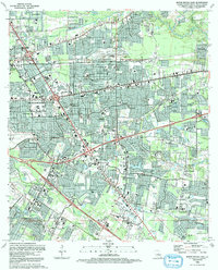 1992 Baton Rouge East1992 Print · USGSThe eastern residential corridors and modern neighborhoods near Greendale are captured in detail during the early 1990s. Researchers can trace the development of suburban tracts and the local road network around Greendale following decades of expansion.2 unique versions available
 - 1995 Map of Baton Rouge East, 1998 Print
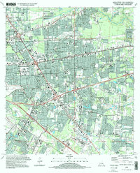 1995 Baton Rouge East1998 Print · USGSEast Baton Rouge Parish shows its modern suburban form in the mid-nineties, capturing a landscape of rapid residential growth and institutional expansion. Local researchers can trace family landmarks like Harelson Cem, the LSU Rural Life Museum, and Red Oak.
 - 2012 Map of Baton Rouge East, 2012 Print
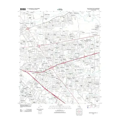 2012 Baton Rouge East2012 Print · USGSEast Baton Rouge Parish at the start of the 2010s shows a landscape of established neighborhoods and evolving infrastructure. Researchers can locate historic burial sites like Kleinpeter Cem and landmarks such as the Baton Rouge Depot.
 - 2015 Map of Baton Rouge East, 2015 Print
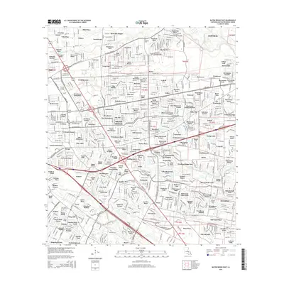 2015 Baton Rouge East2015 Print · USGSBaton Rouge’s eastern neighborhoods and bayou-lined suburbs are captured here during a period of significant expansion. Researchers can identify family history at Rose Hill Cem and Harelson Cem or trace the winding course of the Comite River.
 - 2018 Map of Baton Rouge East, 2018 Print
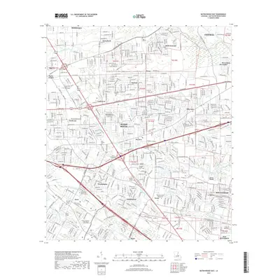 2018 Baton Rouge East2018 Print · USGSEast Baton Rouge Parish in the late 2010s reveals a landscape of established neighborhoods and complex waterways. Genealogists and local historians can trace family sites like Kleinpeter Cem and old settlements like Stevensdale or Harelson along the Comite River.
 - 2020 Map of Baton Rouge East, 2020 Print
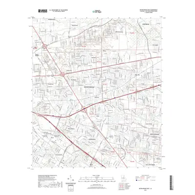 2020 Baton Rouge East2020 Print · USGSBaton Rouge and its eastern suburban reaches come into focus at the turn of the decade. Genealogists and local historians can trace family sites at Little Misery Cem, Rose Hill Cem, and Woodlawn Baptist Cem among the many bayous and creeks.
 - 2024 Map of Baton Rouge East, 2024 Print
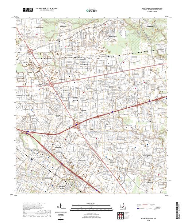 2024 Baton Rouge East2024 Print · USGSBaton Rouge’s eastern expansion is captured in the early 21st century, showing a landscape where modern commerce meets deep-rooted local history. Genealogists and historians can trace significant burial sites like Little Misery Cem, Harelson Cem, and Kleinpeter Cem alongside the Kansas City Southern rail line.
End of results
Showing maps 1-18 of 18
Top cities near Old Jefferson
- Baton Rouge historical maps
- St. George historical maps
- Saint George historical maps
- Prairieville historical maps
- Central historical maps
- Baker historical maps
See more
Frequently asked questions
- What are the different types of historical maps available for Old Jefferson?
- What is the oldest map of Old Jefferson?
- Where can I purchase historical maps of Old Jefferson for my home or office?
- Where can I download high-res historical maps of Old Jefferson?
- Are there historical topographic maps available for Old Jefferson?
- Is there historical aerial imagery available for Old Jefferson?
- Where are historical maps of Old Jefferson sourced from?