Old Maps of Holly Grove, Louisiana for Academic Research
Study the evolution of Holly Grove with 14 high-resolution historic maps. Whether you're teaching, researching, or modeling changes in land use, these maps provide essential visual documentation of urban, environmental, and geographic change.
- Analyze long-term change: Track patterns in development, transportation, and natural features.
- Ideal for environmental or urban studies: Support academic projects with primary historical map data.
- Use in the classroom or lab: Educators and researchers rely on these maps to bring historical context to life.
These maps are a powerful tool for teaching, research, and visualizing how Holly Grove has changed over the decades.
Holly Grove, LA maps
(14)- 1941 Map of Sicily Island, 1943 Print
 1941 Sicily Island1943 Print · USGSLouisiana's delta country comes alive in the 1940s as a complex network of bayous, landings, and rail lines. Genealogists and historians can trace the foundations of local life through rural landmarks like Sunnyside Sch & Ch, several Indian Mounds, and the Missouri Pacific rail corridor.2 unique versions available
 - 1953 Map of Natchez, 1966 Print
 1953 Natchez1966 Print · USGSSouthwest Mississippi and the Louisiana border country come alive in this mid-century survey of the river valley and forest lands. Researchers can trace the rail lines of the Illinois Central RR and locate rural hubs like Gloster and Ferriday.3 unique versions available
 - 1956 Map of Natchez
 1956 Natchez1956 Print · USGSThe Mississippi River borderlands and the Pine Hills come alive in this mid-fifties study of the Natchez region. Genealogists and historians can trace rail-era towns along the Illinois Central RR and explore the oxbows of Lake Bruin and Lake Concordia.
 - 1957 Map of Sicily Island
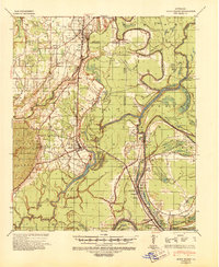
 1957 Sicily Island1957 Print · USGSCatahoula Parish and the surrounding lowlands are captured in the late 1950s, showing a landscape shaped by the Tensas River and its many bayous. Genealogists can trace family roots at New Zion Ch & Cem 37, Loam Land Sch & Cem, or the old Lee Bayou School House.2 unique versions available
 - 1959 Map of Natchez
 1959 Natchez1959 Print · USGSSouthwestern Mississippi and eastern Louisiana are captured in the late fifties, showing a landscape defined by the winding Mississippi River and the timbered Homochitto National Forest. Researchers can trace the sprawling Illinois Central RR and find rural landmarks like Union Church and Camp Van Dorn (Abandoned).
 - 1976 Map of Sicily Island NW, 1977 Print
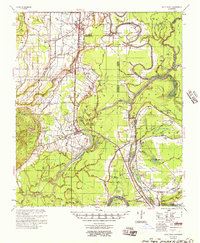
 1976 Sicily Island NW1977 Print · USGSFranklin Parish farmland is captured in remarkable detail during the mid-seventies, showing the rural landscape just south of Wisner. Genealogists and researchers can trace local land patterns around Holly Grove and follow the natural curves of Deer Creek.
 - 1983 Map of Wisner, 1984 Print
 1983 Wisner1984 Print · USGSThe Louisiana delta near Wisner is captured here during the early 1980s, showing a landscape defined by the Missouri Pacific railroad and winding bayous. Researchers can trace rural congregations at New Alpha & Omega Ch or locate family sites near Peck and Metropolis.
 - 1984 Map of Natchez
 1984 Natchez1984 Print · USGSThe Mississippi-Louisiana borderlands in the mid-eighties show a landscape defined by the winding Mississippi River and its rail networks. Trace family history at the Natchez National Cemetery or explore the river towns of Vidalia and Ferriday.
 - 1991 Map of Natchez, 1992 Print
 1991 Natchez1992 Print · USGSThe Mississippi River valley at the turn of the nineties reveals a landscape of oxbow lakes, river landings, and bustling bluff-top towns. Genealogists and historians can trace the rail corridors of the Illinois Central Gulf Railroad through Fayette or locate family roots in riverside settlements like Waterproof and St Joseph.
 - 2012 Map of Wisner, 2012 Print
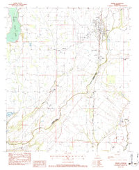
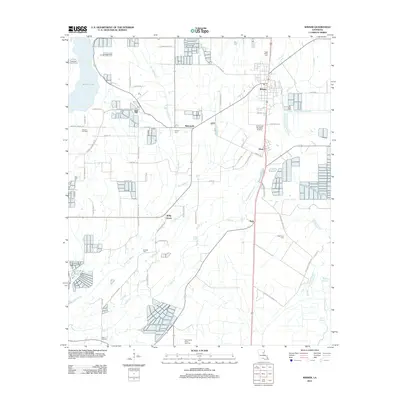 2012 Wisner2012 Print · USGSCovers Holly Grove, including Wisner, Metropolis, and other nearby areas
 - 2015 Map of Wisner, 2015 Print
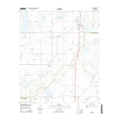 2015 Wisner2015 Print · USGSCovers Holly Grove, including Wisner, Metropolis, and other nearby areas
 - 2018 Map of Wisner, 2018 Print
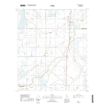 2018 Wisner2018 Print · USGSCovers Holly Grove, including Wisner, Metropolis, and other nearby areas
 - 2020 Map of Wisner, 2020 Print
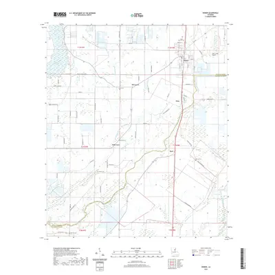 2020 Wisner2020 Print · USGSCovers Holly Grove, including Wisner, Metropolis, and other nearby areas
 - 2024 Map of Wisner, 2024 Print
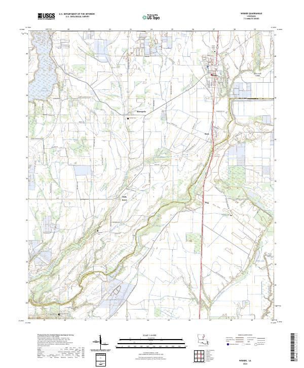 2024 Wisner2024 Print · USGSModern-day Wisner and its surrounding parishes maintain a deep connection to the bayous and alluvial plains of eastern Louisiana. Genealogists can trace family footprints across several rural burial sites, including Hope Estate Cem, New Zion Cem, and Hope Will Cem.
End of results
Showing maps 1-14 of 14
Top cities near Holly Grove
- Winnsboro historical maps
- Wisner historical maps
- Harrisonburg historical maps
- Clayton historical maps
- Gilbert historical maps
- Sicily Island historical maps
Frequently asked questions
- What are the different types of historical maps available for Holly Grove?
- What is the oldest map of Holly Grove?
- Where can I purchase historical maps of Holly Grove for my home or office?
- Where can I download high-res historical maps of Holly Grove?
- Are there historical topographic maps available for Holly Grove?
- Is there historical aerial imagery available for Holly Grove?
- Where are historical maps of Holly Grove sourced from?