Old Maps of Jones Landing, Louisiana for Hiking & Exploration
Hike through history with 13 historic maps of Jones Landing. Explore old trails, ghost towns, and forgotten backroads — perfect for outdoor adventurers and local explorers.
- Rediscover forgotten places: Map out old mining camps, roads, and footpaths that no longer exist on modern maps.
- Layer with modern tools: Combine with LiDAR or satellite views to plan hikes through historical terrain.
- Made for exploration: Popular among hikers, overlanders, and local history lovers.
Use these maps to find adventure and explore the hidden past of Jones Landing.
Jones Landing, LA maps
(13)- 1941 Map of Harrisonburg, 1946 Print
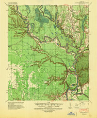 1941 Harrisonburg1946 Print · USGSThe Ouachita River valley in the early 1940s reveals a landscape of riverine commerce and upland settlements. Genealogists and researchers can locate historic community hubs like Harrisonburg, Siloam Ch, and the site of Fort Beauregard.
 - 1953 Map of Natchez, 1966 Print
 1953 Natchez1966 Print · USGSSouthwest Mississippi and the Louisiana border country come alive in this mid-century survey of the river valley and forest lands. Researchers can trace the rail lines of the Illinois Central RR and locate rural hubs like Gloster and Ferriday.3 unique versions available
 - 1956 Map of Natchez
 1956 Natchez1956 Print · USGSThe Mississippi River borderlands and the Pine Hills come alive in this mid-fifties study of the Natchez region. Genealogists and historians can trace rail-era towns along the Illinois Central RR and explore the oxbows of Lake Bruin and Lake Concordia.
 - 1959 Map of Natchez
 1959 Natchez1959 Print · USGSSouthwestern Mississippi and eastern Louisiana are captured in the late fifties, showing a landscape defined by the winding Mississippi River and the timbered Homochitto National Forest. Researchers can trace the sprawling Illinois Central RR and find rural landmarks like Union Church and Camp Van Dorn (Abandoned).
 - 1959 Map of Harrisonburg, 1960 Print
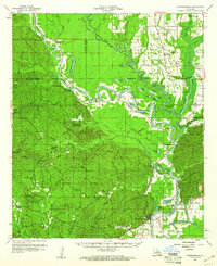 1959 Harrisonburg1960 Print · USGSThe Ouachita River valley comes to life in this late 1950s portrait of Catahoula Parish, showing a landscape of deep bayous and steep hills. Researchers can locate ancestral sites like Old Spring Ridge Cem, the community of Enterprise, and ancient Indian Mounds along the river bluffs.3 unique versions available
 - 1984 Map of Natchez
 1984 Natchez1984 Print · USGSThe Mississippi-Louisiana borderlands in the mid-eighties show a landscape defined by the winding Mississippi River and its rail networks. Trace family history at the Natchez National Cemetery or explore the river towns of Vidalia and Ferriday.
 - 1984 Map of Extension, 1985 Print
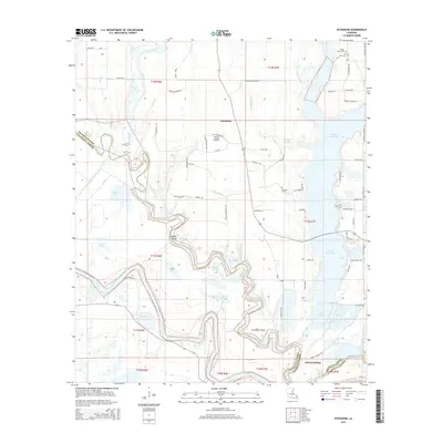
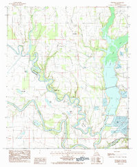 1984 Extension1985 Print · USGSFranklin and Catahoula Parishes are captured here in the early eighties, centered on the settlement of Extension and the winding Boeuf River. Researchers can trace old parish boundaries and water-access points through landmarks like Turkey Creek Lake, Hickory Lake, and Rabbit Island.
 - 1991 Map of Natchez, 1992 Print
 1991 Natchez1992 Print · USGSThe Mississippi River valley at the turn of the nineties reveals a landscape of oxbow lakes, river landings, and bustling bluff-top towns. Genealogists and historians can trace the rail corridors of the Illinois Central Gulf Railroad through Fayette or locate family roots in riverside settlements like Waterproof and St Joseph.
 - 2012 Map of Extension, 2012 Print
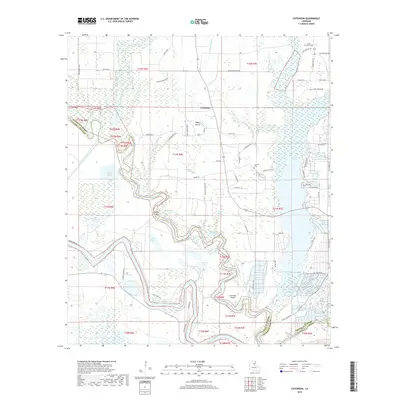
 2012 Extension2012 Print · USGSCovers Jones Landing, including Extension, Franklin Parish, and other nearby areas
 - 2015 Map of Extension, 2015 Print
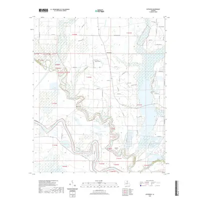
 2015 Extension2015 Print · USGSCovers Jones Landing, including Extension, Franklin Parish, and other nearby areas
 - 2018 Map of Extension, 2018 Print
 2018 Extension2018 Print · USGSCovers Jones Landing, including Extension, Franklin Parish, and other nearby areas
 - 2020 Map of Extension, 2020 Print
 2020 Extension2020 Print · USGSCovers Jones Landing, including Extension, Franklin Parish, and other nearby areas
 - 2024 Map of Extension, 2024 Print
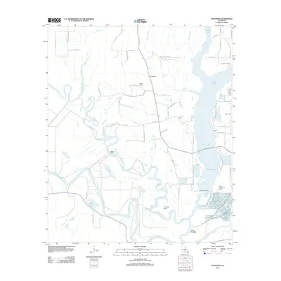
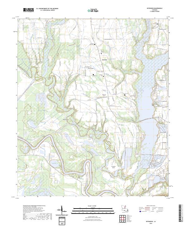 2024 Extension2024 Print · USGSThe Franklin and Catahoula Parish borderlands are shown here in recent detail, where the winding Boeuf and Ouachita Rivers meet. Family historians can locate several burial sites like Daughters of Zion Cemetery and trace old routes like Duty Ferry Rd.
End of results
Showing maps 1-13 of 13
Top cities near Jones Landing
- Wisner historical maps
- Harrisonburg historical maps
- Clayton historical maps
- Gilbert historical maps
- Sicily Island historical maps
Frequently asked questions
- What are the different types of historical maps available for Jones Landing?
- What is the oldest map of Jones Landing?
- Where can I purchase historical maps of Jones Landing for my home or office?
- Where can I download high-res historical maps of Jones Landing?
- Are there historical topographic maps available for Jones Landing?
- Is there historical aerial imagery available for Jones Landing?
- Where are historical maps of Jones Landing sourced from?