Old Maps of Zoar, Louisiana for Genealogy
Trace your family roots with 11 historic maps of Zoar. These high-res maps reveal old neighborhoods, homesites, landmarks, and streets — helping you uncover where your ancestors lived and how the area evolved over time.
- Explore historic neighborhoods: Identify where your relatives may have lived in the 1800s or 1900s.
- Compare maps over time: Trace the changes in streets, buildings, and landmarks for multi-generational research.
- Perfect for genealogy & ancestry research: Used by family historians and researchers to map out lineage and migration.
These maps are an incredible resource for exploring your personal connection to Zoar's past.
Zoar, LA maps
(11)- 1954 Map of Sikes, 1955 Print
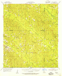 1954 Sikes1955 Print · USGSThe North Louisiana timber and rail corridor comes to life in the mid-fifties, centered on the community of Sikes. Genealogists and historians can trace family burial grounds like Womack Cem and Newsom Cem or locate rural landmarks such as Asbury Sch and Sikes Spur.4 unique versions available
 - 1955 Map of Shreveport
 1955 Shreveport1955 Print · USGSNorthern Louisiana in the mid-fifties is captured here as a landscape of military bases, vast oil fields, and burgeoning college towns. Genealogists and historians can trace the rail-and-river economy through the Monroe Gas Field, Grambling College, and Barksdale Air Force Base.3 unique versions available
 - 1956 Map of Shreveport
 1956 Shreveport1956 Print · USGSNorthern Louisiana during the mid-fifties presents a complex landscape of booming oil fields and strategic military installations. Genealogists and historians can trace the infrastructure of the Monroe Gas Field and family-named locales from Cotton Valley to Jonesboro.
 - 1984 Map of Shreveport
 1984 Shreveport1984 Print · USGSNorthern Louisiana at the peak of the 1980s reveals a landscape of massive water management projects and Cold War military hubs. Trace the rail lines of the Kansas City Southern Ry past Barksdale Air Force Base and the high ground of Driskill Mountain.2 unique versions available
 - 1985 Map of Monroe South
 1985 Monroe South1985 Print · USGSNorth Central Louisiana in the mid-1980s was a hub of timber production and rail transport spanning from the Dugdemona River to the Ouachita valley. Family researchers and historians can trace the rail lines of the Midsouth Railroad through Jonesboro or find local landmarks like Mineral Springs and Punkin Center.2 unique versions available
 - 1989 Map of Womack
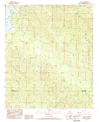 1989 Womack1989 Print · USGSNorthern Louisiana at the close of the eighties shows a landscape of timber and small settlements. Researchers can trace the Old RR Grade and locate family landmarks like Hoods Mill and the Lookout Tower near Womack.
 - 2012 Map of Womack, 2012 Print
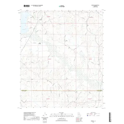
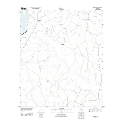 2012 Womack2012 Print · USGSCovers Zoar, including Womack, Pleasant Hill, and other nearby areas
 - 2015 Map of Womack, 2015 Print
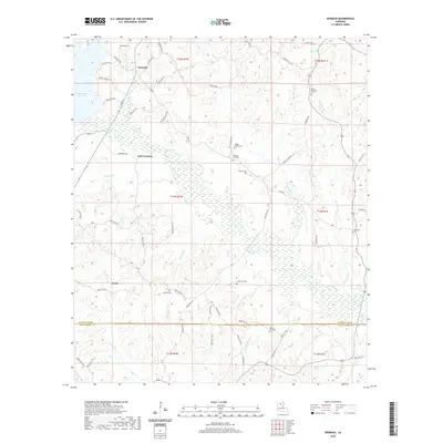
 2015 Womack2015 Print · USGSCovers Zoar, including Womack, Pleasant Hill, and other nearby areas
 - 2018 Map of Womack, 2018 Print
 2018 Womack2018 Print · USGSCovers Zoar, including Womack, Pleasant Hill, and other nearby areas
 - 2020 Map of Womack, 2020 Print
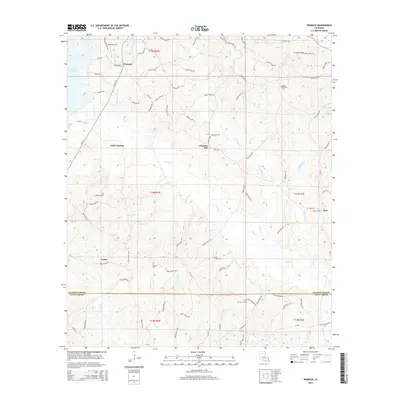
 2020 Womack2020 Print · USGSCovers Zoar, including Womack, Pleasant Hill, and other nearby areas
 - 2024 Map of Womack, 2024 Print
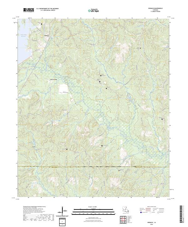 2024 Womack2024 Print · USGSJackson and Winn Parish lands are captured here in a moment of quiet rural continuity within the North Louisiana timberlands. Genealogists can trace family ties through numerous remote burial sites like Tippen Chapel Cem, Dothan Cem, and Lone Star Cem.
End of results
Showing maps 1-11 of 11
Top cities near Zoar
Frequently asked questions
- What are the different types of historical maps available for Zoar?
- What is the oldest map of Zoar?
- Where can I purchase historical maps of Zoar for my home or office?
- Where can I download high-res historical maps of Zoar?
- Are there historical topographic maps available for Zoar?
- Is there historical aerial imagery available for Zoar?
- Where are historical maps of Zoar sourced from?