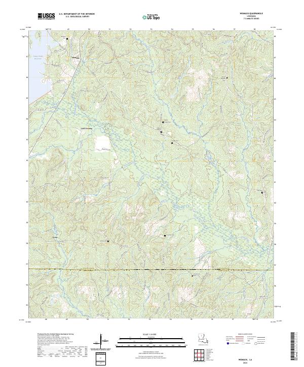
2024 Map of Womack
USGS Topo · Published 2024About this map
Womack serves as the focal point for this rural North Louisiana landscape, where the boundary between Jackson Parish and Winn Parish cuts across a densely wooded network of creek drainages. The area is characterized by scattered family-named cemeteries that anchor the local geography, such as Tippen Chapel Cem, Fowler Cem, and Dothan Cem. These sites, along with small settlements like Gulf Crossing and Lyons, suggest a community history deeply rooted in the timberlands and small-scale agriculture typical of the region.
Find a feature on this map
78 named features on this map. Tap any name to fly to it.
Don’t see what you’re looking for? This feature index may not catch every label — zoom into the map to look around manually.
Map Details
Editions of this 2024 Womack Map
This is the sole edition of this map. No revisions or reprints were ever made.
Other maps of this area

1949 · Jonesboro
USGS Topo · 1:62,500

1950 · Jonesboro
USGS Topo · 1:62,500

1953 · Chatham
USGS Topo · 1:62,500

1953 · Hodge
USGS Topo · 1:62,500

1954 · Sikes
USGS Topo · 1:62,500

1955 · Shreveport
USGS Topo · 1:250,000

1956 · Shreveport
USGS Topo · 1:250,000

1982 · Chatham
USGS Topo · 1:24,000

1982 · Chatham SE
USGS Topo · 1:24,000

1984 · Shreveport
USGS Topo · 1:250,000