Old Maps of Pine Island, Louisiana for Hiking & Exploration
Hike through history with 12 historic maps of Pine Island. Explore old trails, ghost towns, and forgotten backroads — perfect for outdoor adventurers and local explorers.
- Rediscover forgotten places: Map out old mining camps, roads, and footpaths that no longer exist on modern maps.
- Layer with modern tools: Combine with LiDAR or satellite views to plan hikes through historical terrain.
- Made for exploration: Popular among hikers, overlanders, and local history lovers.
Use these maps to find adventure and explore the hidden past of Pine Island.
Pine Island, LA maps
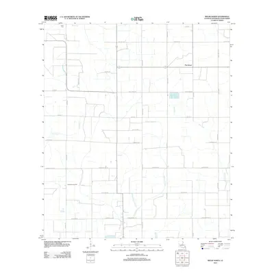
(12)- 1947 Map of Pine Island
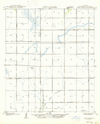 1947 Pine Island1947 Print · USGSJefferson Davis Parish in the mid-1940s is defined here by its rural schools and early aviation history. Genealogists and local historians can trace the area around Pine Island and find the location of the Meadow Prairie Sch or the Emergency Landing Field.
 - 1952 Map of Lake Charles
 1952 Lake Charles1952 Print · USGSSouthwest Louisiana is captured here in the mid-fifties, showing a landscape defined by the rise of the petrochemical industry and deep-water navigation. Researchers can trace family roots through numerous small-town settlements and oil developments like Nibletts Bluff, the Lockport Oil Field, and Starks.
 - 1954 Map of Lake Charles, 1964 Print
 1954 Lake Charles1964 Print · USGSSouthwest Louisiana in the mid-fifties is defined by its massive petroleum industry and its complex network of bayous and rail lines. Researchers can trace the development of the Sulphur Mines Oil Field or locate historic settlements like Longville and De Quincy.3 unique versions available
 - 1959 Map of Kinder, 1960 Print
 1959 Kinder1960 Print · USGSSouthwest Louisiana is captured here in the late fifties as timber, rail, and oil industries converged across the parish lines. Genealogists and historians can trace the foundations of Kinder and Welsh or locate rural sites like Sacred Heart Ch and McGee Cem.4 unique versions available
 - 1985 Map of Welsh North
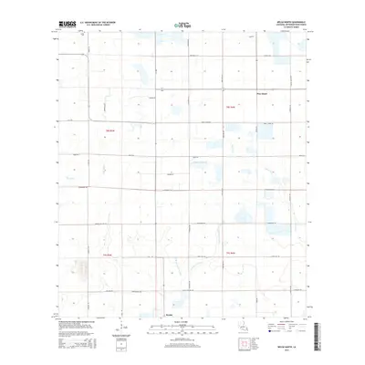
 1985 Welsh North1985 Print · USGSJefferson Davis Parish in the mid-1980s was a land of intricate irrigation networks and winding prairie streams. Researchers can trace the path of Bayou Lacassine, locate the settlement of Pine Island, and identify local landmarks like the Radio Tower.
 - 1985 Map of Crowley, 1986 Print
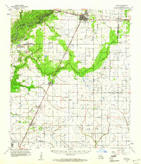
 1985 Crowley1986 Print · USGSCoastal prairie and bayou country are captured in the mid-eighties as the rice-and-rail economy defined South Louisiana life. Genealogists and researchers can trace family lands and rural hubs from Crowley to Jennings, following the paths of the Southern Pacific Railroad and the winding Mermentau River.2 unique versions available
 - 1994 Map of Welsh North, 1996 Print
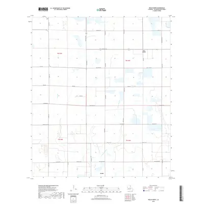
 1994 Welsh North1996 Print · USGSJefferson Davis Parish in the mid-1990s shows a landscape defined by its water and energy networks. Genealogists and researchers can trace the area around Pine Island or locate the rural Cem and the winding course of East Bayou Lacassine.
 - 2012 Map of Welsh North, 2012 Print
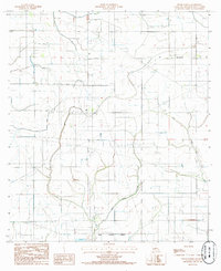
 2012 Welsh North2012 Print · USGSCovers Pine Island, including Welsh, Jefferson Davis Parish, and other nearby areas
 - 2015 Map of Welsh North, 2015 Print
 2015 Welsh North2015 Print · USGSCovers Pine Island, including Welsh, Jefferson Davis Parish, and other nearby areas
 - 2018 Map of Welsh North, 2018 Print
 2018 Welsh North2018 Print · USGSCovers Pine Island, including Welsh, Jefferson Davis Parish, and other nearby areas
 - 2020 Map of Welsh North, 2020 Print
 2020 Welsh North2020 Print · USGSCovers Pine Island, including Welsh, Jefferson Davis Parish, and other nearby areas
 - 2024 Map of Welsh North, 2024 Print
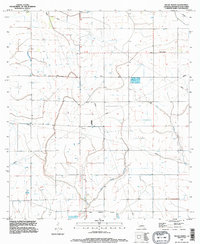
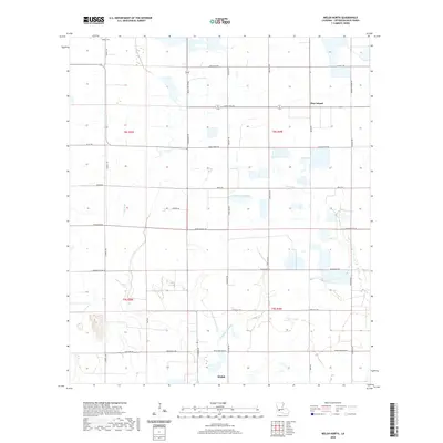
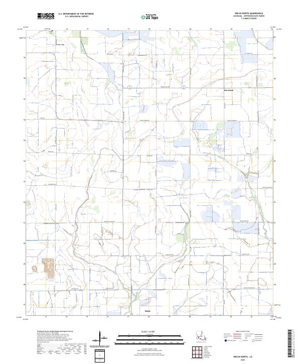 2024 Welsh North2024 Print · USGSJefferson Davis Parish comes into sharp focus in this recent survey of the Louisiana wetlands. Genealogists and local historians can locate the historic LeBleu Cem, trace the waters of East Bayou Lacassine, and explore the rural settlement at Pine Island.
End of results
Showing maps 1-12 of 12
Top cities near Pine Island
- Jennings historical maps
- Welsh historical maps
- Iowa historical maps
- Kinder historical maps
- Oberlin historical maps
- Basile historical maps
See more
Frequently asked questions
- What are the different types of historical maps available for Pine Island?
- What is the oldest map of Pine Island?
- Where can I purchase historical maps of Pine Island for my home or office?
- Where can I download high-res historical maps of Pine Island?
- Are there historical topographic maps available for Pine Island?
- Is there historical aerial imagery available for Pine Island?
- Where are historical maps of Pine Island sourced from?