2000s (21st Century) Maps of Youngsville, Louisiana
Explore 20 historic maps of Youngsville from the 2000s (21st Century). These maps offer a rare glimpse into what life looked like during the 2000s — showing old roads, neighborhoods, homes, and landmarks that have changed or disappeared over time.
Whether you're researching your family's past, planning a metal detecting trip, or studying how Youngsville's landscape evolved across the 2000s, these high-resolution maps are a powerful tool for exploring the history of this region.
- Focus on a specific era: All maps on this page are from the 2000s, giving you a focused view of this time period.
- See what’s changed: Compare century-old streets, trails, and buildings to today's modern landscape using overlays and satellite layers.
- Research with precision: Use these maps for genealogy, historical research, land use analysis, or educational projects.
- View, download, or print: Maps are fully viewable online in high resolution, and can be downloaded or printed for your own records.
Start exploring Youngsville's history through authentic maps from the 2000s. This is your window into the past.
Youngsville, LA maps
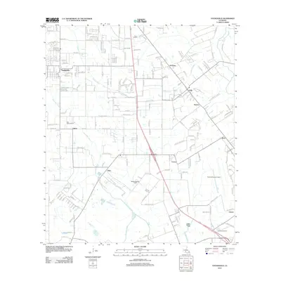
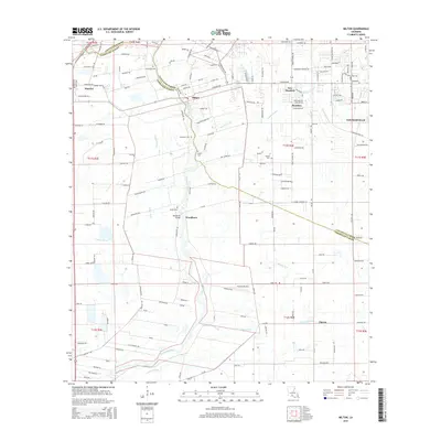
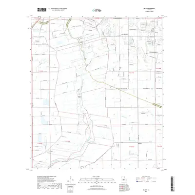
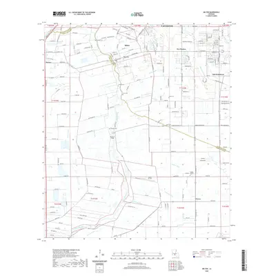
(20)- 2012 Map of Milton, 2012 Print
 2012 Milton2012 Print · USGSCovers Youngsville, including Lafayette, Maurice, and other nearby areas
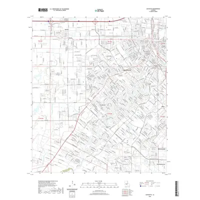
 - 2012 Map of Lafayette, 2012 Print
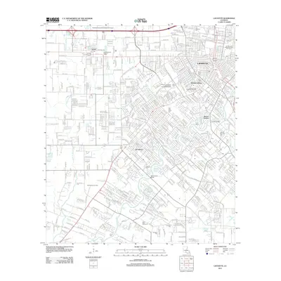 2012 Lafayette2012 Print · USGSCovers Youngsville, including Lafayette, Scott, and other nearby areas
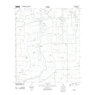
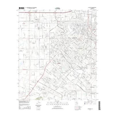
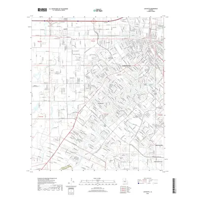
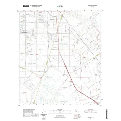
 - 2012 Map of Youngsville, 2012 Print
 2012 Youngsville2012 Print · USGSCovers Youngsville, including Duchamp, Capitan, and other nearby areas
 - 2012 Map of Broussard, 2012 Print
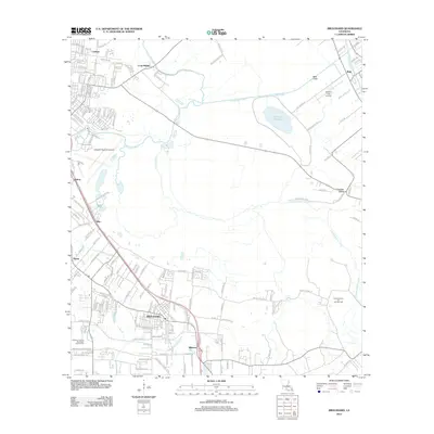 2012 Broussard2012 Print · USGSCovers Youngsville, including Lafayette, Pilette, and other nearby areas
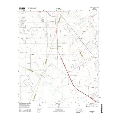
 - 2015 Map of Lafayette, 2015 Print
 2015 Lafayette2015 Print · USGSCovers Youngsville, including Lafayette, Scott, and other nearby areas
 - 2015 Map of Milton, 2015 Print
 2015 Milton2015 Print · USGSCovers Youngsville, including Lafayette, Maurice, and other nearby areas
 - 2015 Map of Broussard, 2015 Print
 2015 Broussard2015 Print · USGSCovers Youngsville, including Lafayette, Pilette, and other nearby areas
 - 2015 Map of Youngsville, 2015 Print
 2015 Youngsville2015 Print · USGSCovers Youngsville, including Duchamp, Capitan, and other nearby areas
 - 2018 Map of Lafayette, 2018 Print
 2018 Lafayette2018 Print · USGSCovers Youngsville, including Lafayette, Scott, and other nearby areas
 - 2018 Map of Milton, 2018 Print
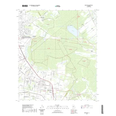
 2018 Milton2018 Print · USGSCovers Youngsville, including Lafayette, Maurice, and other nearby areas
 - 2018 Map of Youngsville, 2018 Print
 2018 Youngsville2018 Print · USGSCovers Youngsville, including Duchamp, Capitan, and other nearby areas
 - 2018 Map of Broussard, 2018 Print
 2018 Broussard2018 Print · USGSCovers Youngsville, including Lafayette, Pilette, and other nearby areas
 - 2020 Map of Youngsville, 2020 Print
 2020 Youngsville2020 Print · USGSCovers Youngsville, including Duchamp, Capitan, and other nearby areas
 - 2020 Map of Lafayette, 2020 Print
 2020 Lafayette2020 Print · USGSCovers Youngsville, including Lafayette, Scott, and other nearby areas
 - 2020 Map of Broussard, 2020 Print
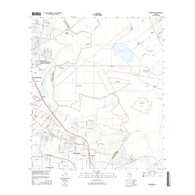
 2020 Broussard2020 Print · USGSCovers Youngsville, including Lafayette, Pilette, and other nearby areas
 - 2020 Map of Milton, 2020 Print
 2020 Milton2020 Print · USGSCovers Youngsville, including Lafayette, Maurice, and other nearby areas
 - 2024 Map of Youngsville, 2024 Print
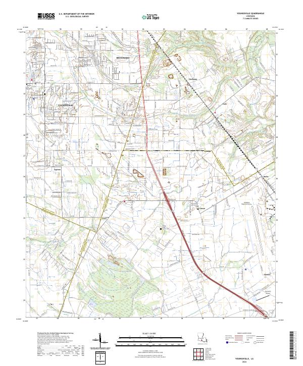 2024 Youngsville2024 Print · USGSSouthern Lafayette Parish and its neighbors are shown here in the 2020s, a landscape where aviation hubs and coulees meet. Genealogists can trace family names at Saint Anne Catholic Cem and locate communities like Lozes and Duchamp.
 - 2024 Map of Lafayette, 2024 Print
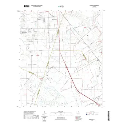
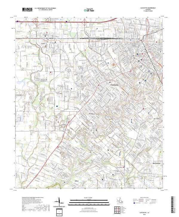 2024 Lafayette2024 Print · USGSLafayette and its neighboring Cajun Country settlements are shown in meticulous detail during this era of modern growth. Genealogists and local historians can trace family roots through numerous burial sites like Saints Peter and Paul Cem, Broussard Cem, and Saint John Cem.
 - 2024 Map of Milton, 2024 Print
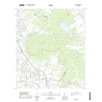
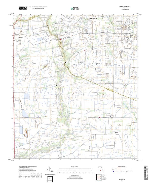 2024 Milton2024 Print · USGSCoastal prairie and bayou country meet at the parish line south of Lafayette in this recent survey. Researchers can trace family history through a high density of rural burial sites, such as Broussard Cem, Picard Cem, and Woodlawn Cem.
 - 2024 Map of Broussard, 2024 Print
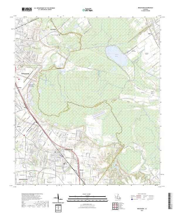 2024 Broussard2024 Print · USGSBroussard and the southern edges of Lafayette are shown during a period of modern growth and infrastructure expansion. Researchers can trace family history at sites like Sacred Heart Catholic Cem or explore the wetlands of Grenovilliers Swamp and the Vermilion River.
End of results
Showing maps 1-20 of 20
Top cities near Youngsville
- Lafayette historical maps
- New Iberia historical maps
- Abbeville historical maps
- Rayne historical maps
- Scott historical maps
- Breaux Bridge historical maps
See more
Frequently asked questions
- What are the different types of historical maps available for Youngsville?
- What is the oldest map of Youngsville?
- Where can I purchase historical maps of Youngsville for my home or office?
- Where can I download high-res historical maps of Youngsville?
- Are there historical topographic maps available for Youngsville?
- Is there historical aerial imagery available for Youngsville?
- Where are historical maps of Youngsville sourced from?