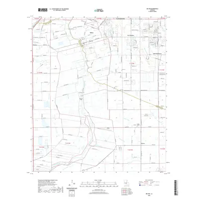
2020 Map of Milton
USGS Topo · Published 2020About this map
The Vermilion River bisects this landscape south of Lafayette, serving as a defining corridor for local commerce and geography. The settlement of Milton is established along its banks, where the Woodlawn Bridge provides a vital crossing point. To the east, the community of Youngsville shows expansion along the Chemin Metairie Pkwy, while Maurice sits at the western edge of the parish line.
Find a feature on this map
108 named features on this map. Tap any name to fly to it.
Don’t see what you’re looking for? This feature index may not catch every label — zoom into the map to look around manually.
Map Details
Editions of this 2020 Milton Map
This is the sole edition of this map. No revisions or reprints were ever made.
Other maps of this area

1932 · Abbeville NE
USGS Topo · 1:31,680

1932 · Abbeville NW
USGS Topo · 1:31,680

1934 · Duson
USGS Topo · 1:31,680

1937 · Derouen
USGS Topo · 1:62,500

1939 · St. Martinsville
USGS Topo · 1:62,500

1945 · New Orleans
USGS Topo · 1:250,000

1946 · Milton
USGS Topo · 1:31,680

1946 · Leroy
USGS Topo · 1:31,680

1946 · Lafayette
USGS Topo · 1:31,680

1952 · Lake Charles
USGS Topo · 1:250,000